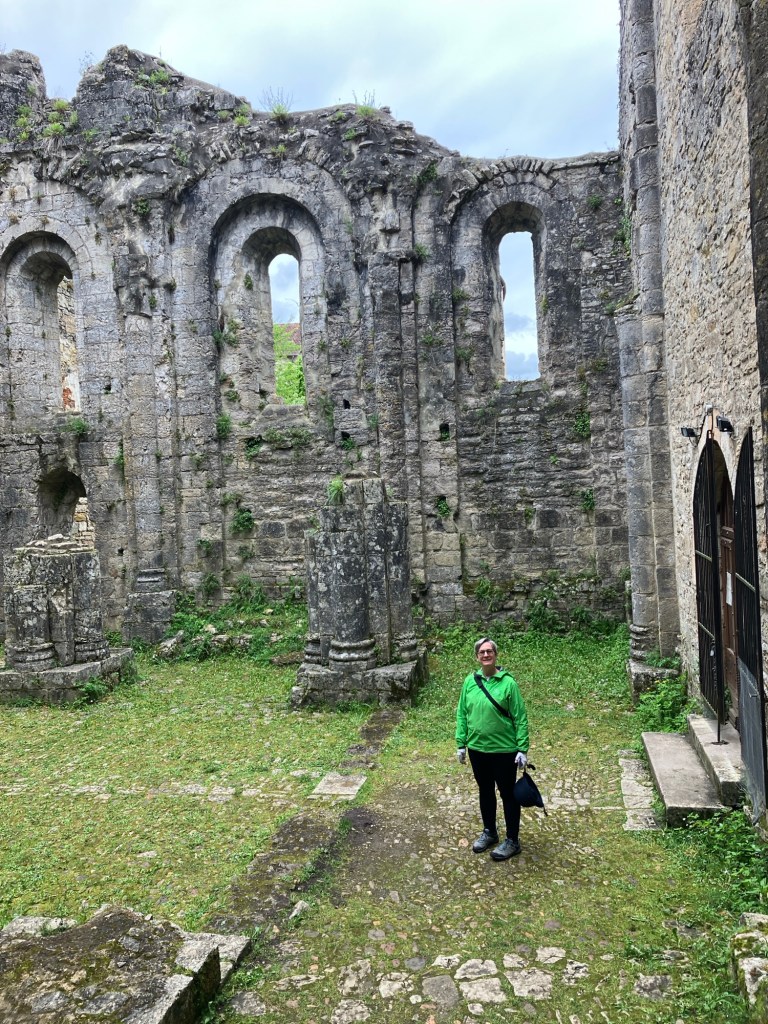
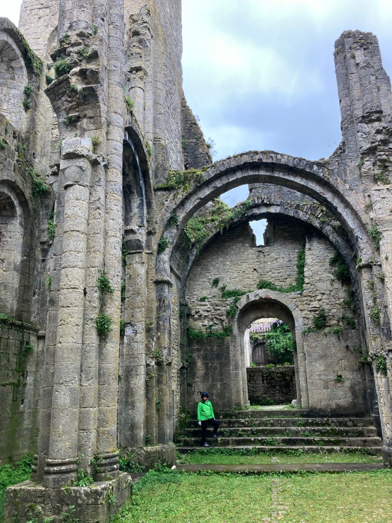
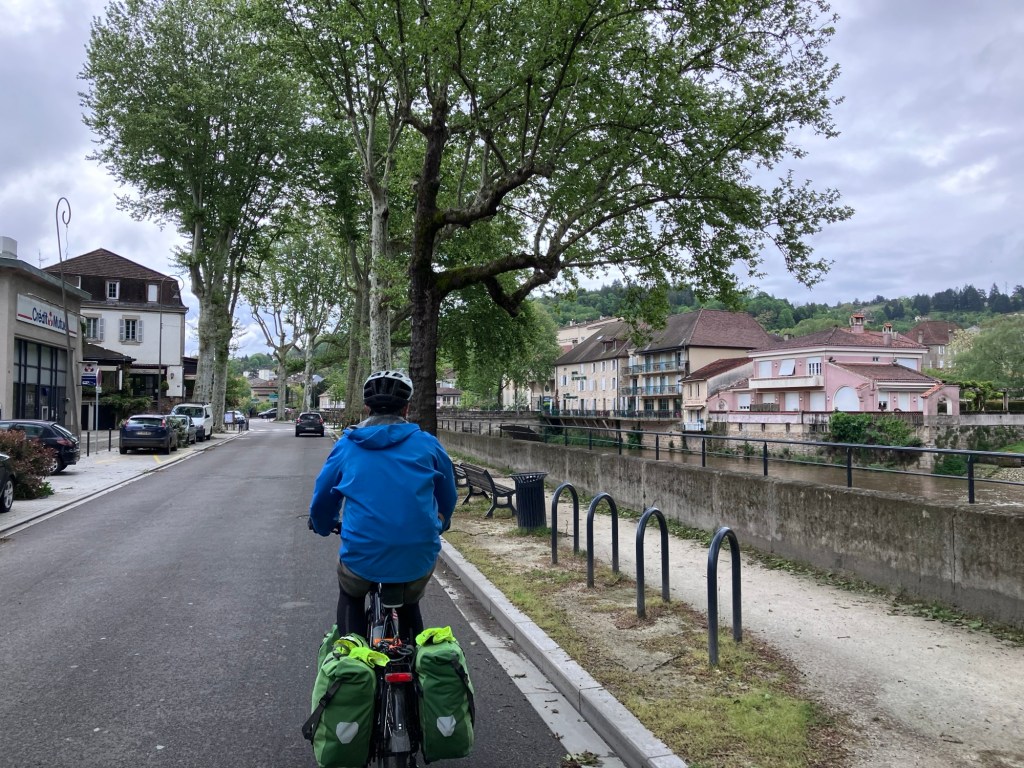
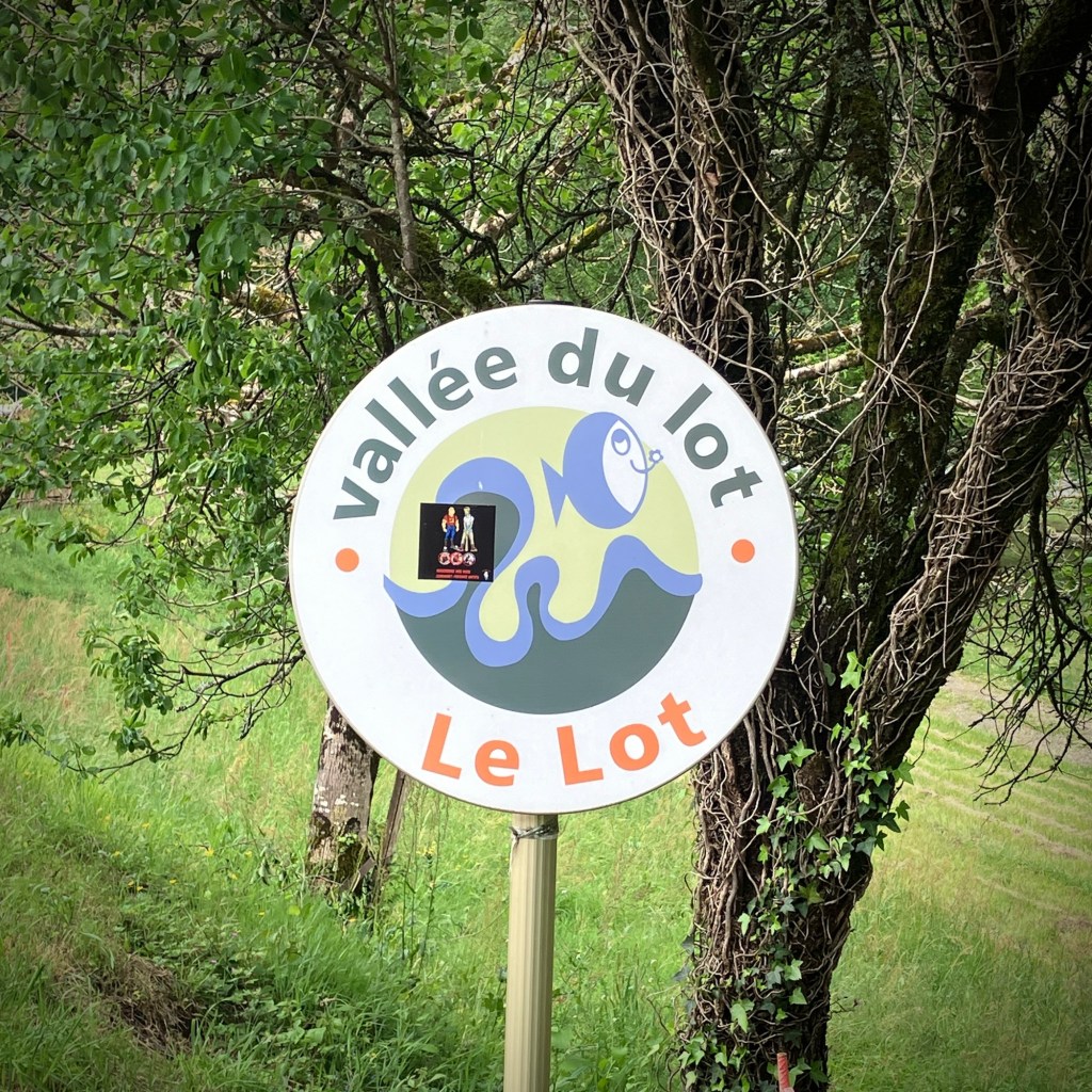
After a nice rest day exploring Cahors, Cheryl and I continued our spring tour further up the valley of the Lot River. The middle Lot is a magical place of endless meandering and pretty villages with a variety of terrain to match.


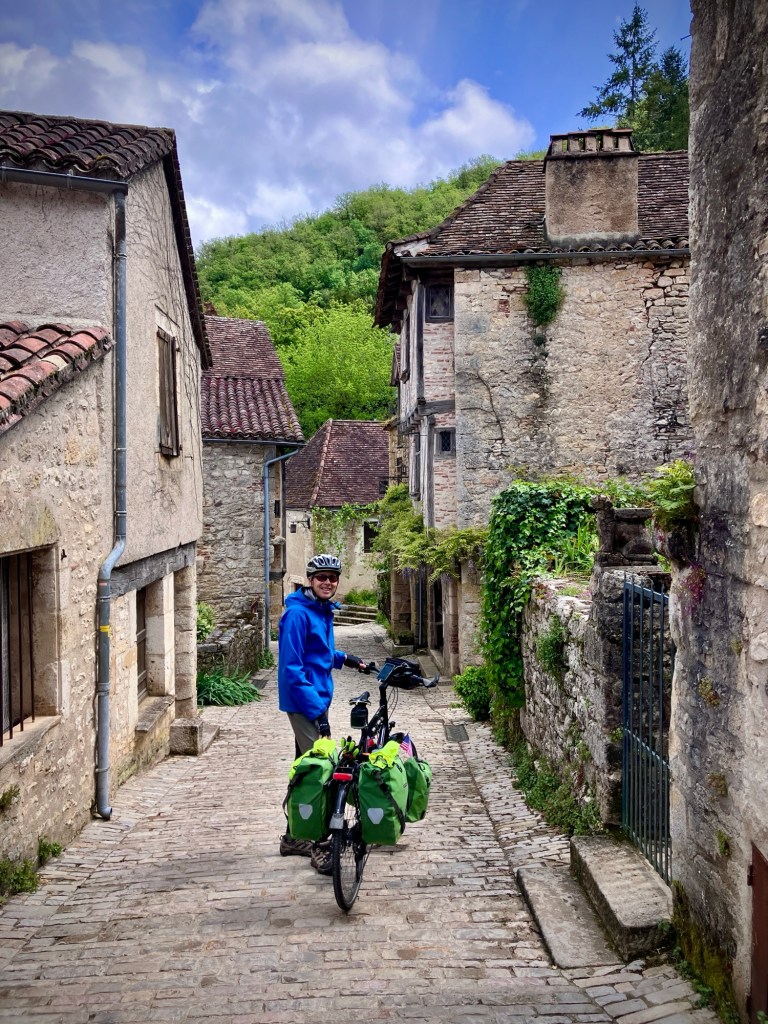
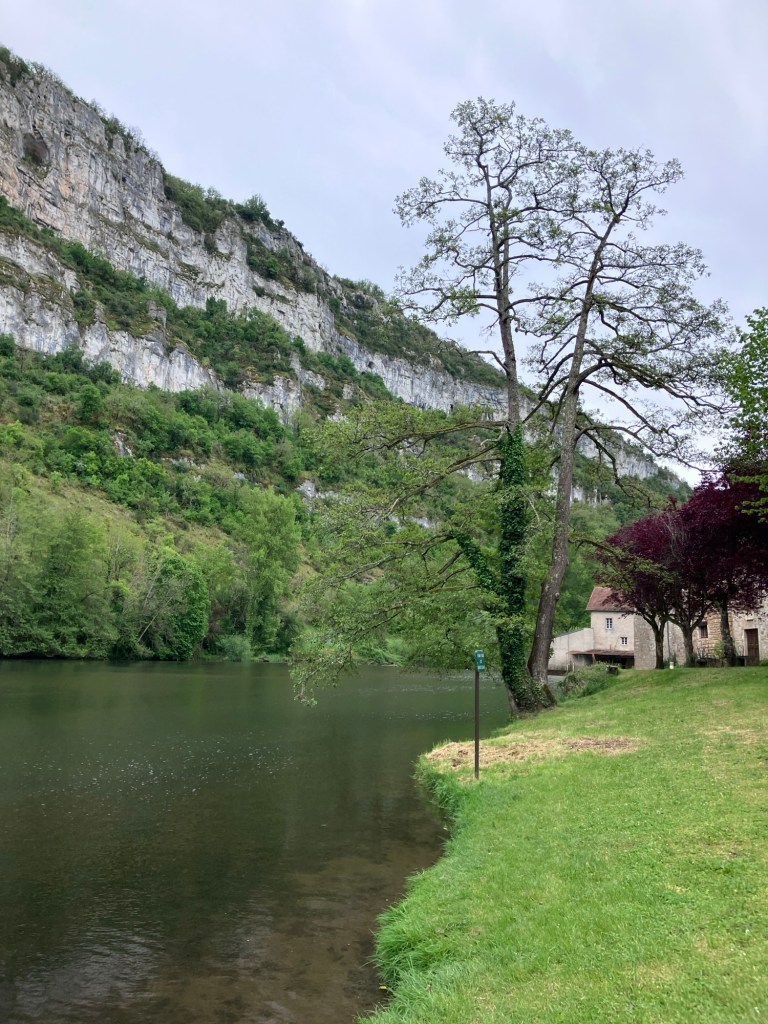
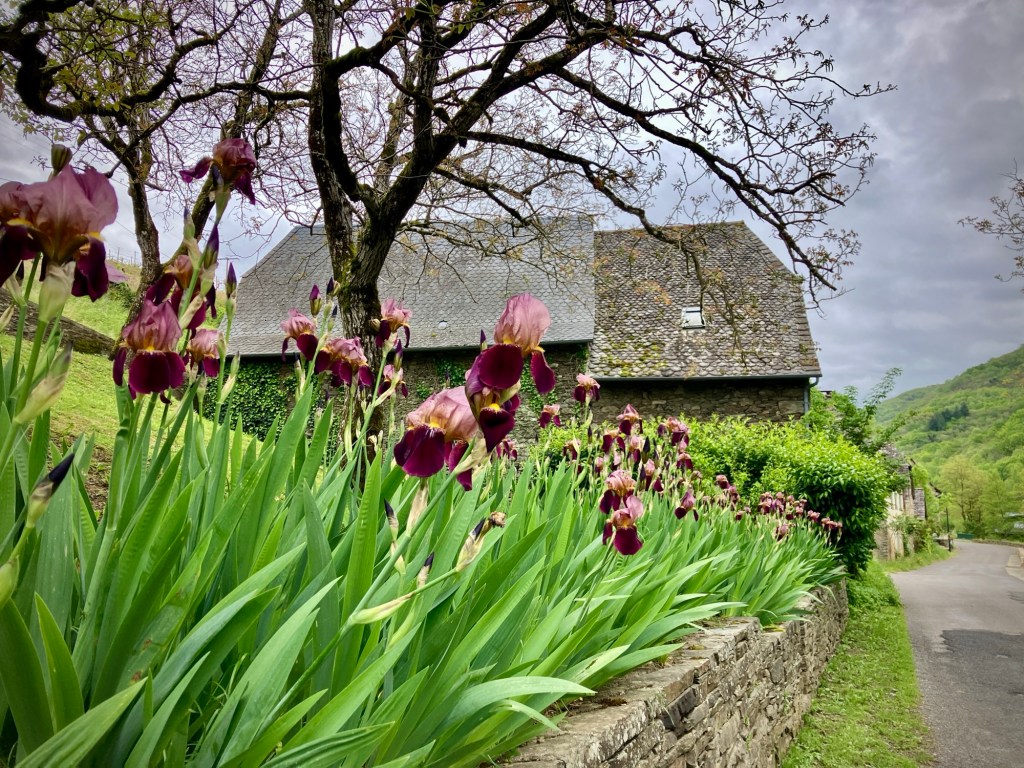
The route out of Cahors immediately took us up a hearty 300m climb over a ridge, but the reward was a descent down to the beautiful Saint Cirq de Papopie. It’s a storybook medieval village perched on a rocky edge above the Lot. Our friend Dan had mentioned his time in this area and we thank him for the tip.
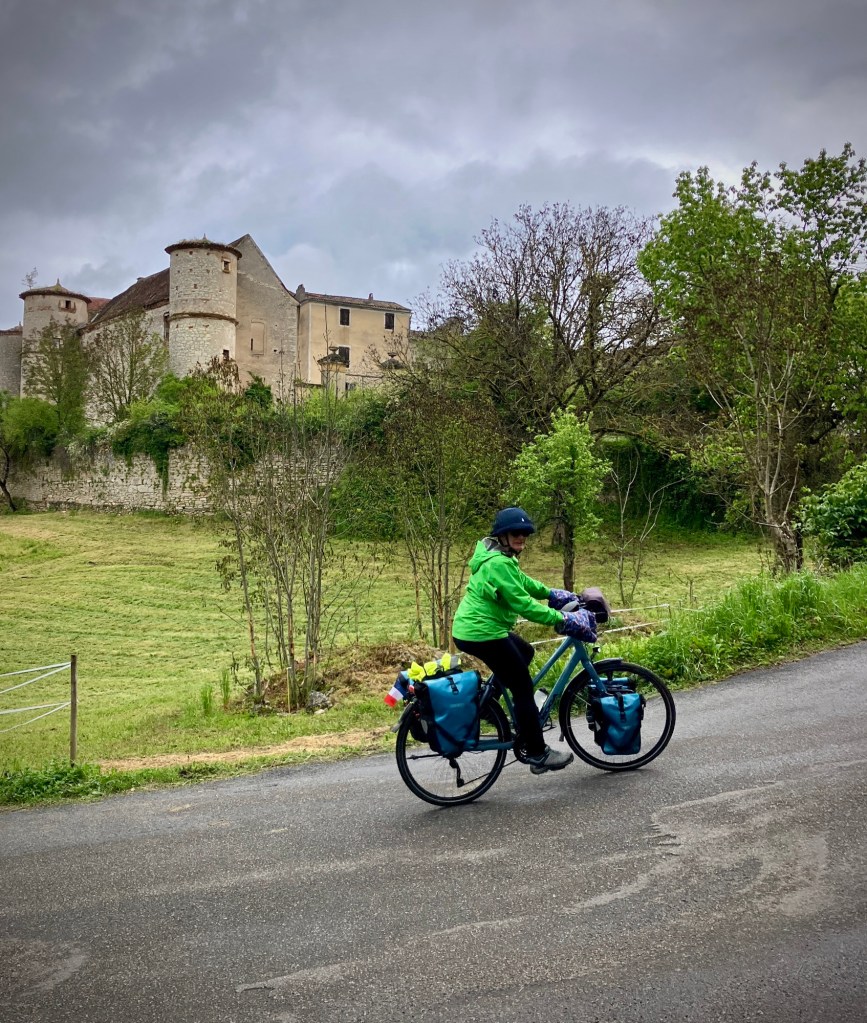


Apparently tourism exploded in the town after a popular French television shown voted it the most scenic place in France in 2012. We can’t disagree with that call. It was sparsely visited the weekday we passed through and is really a beautiful spot.


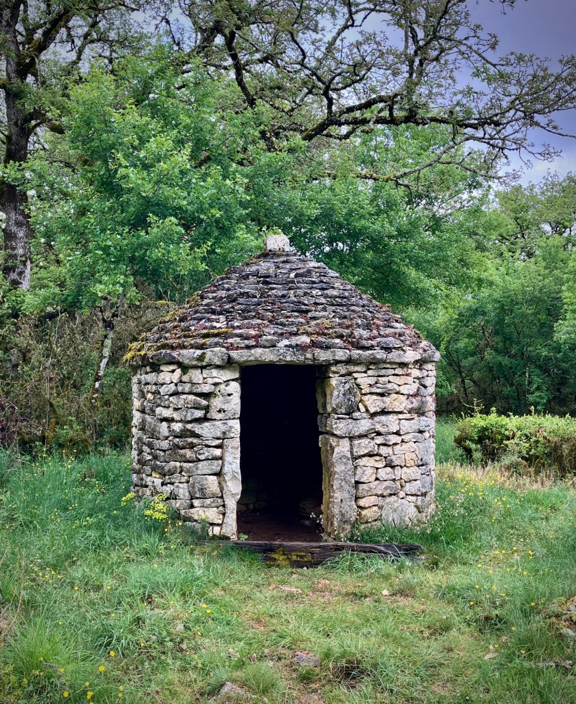
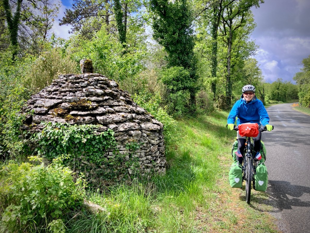
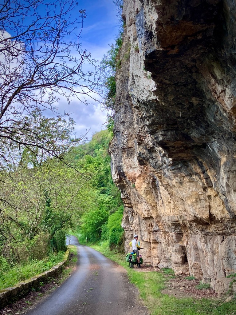
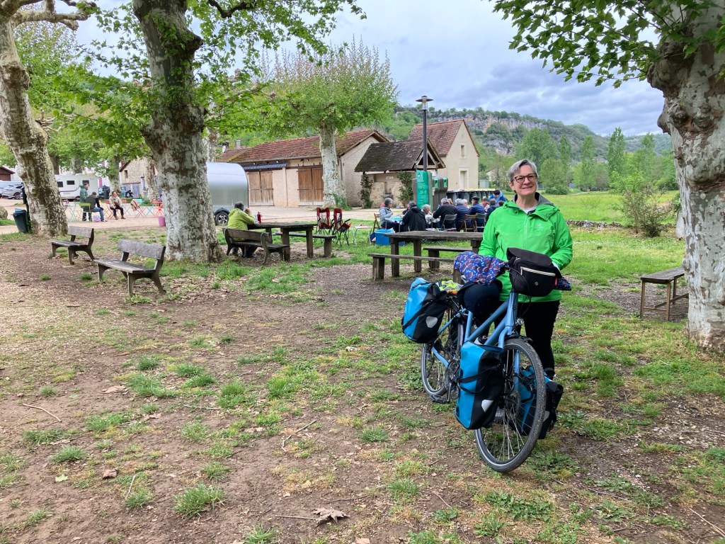
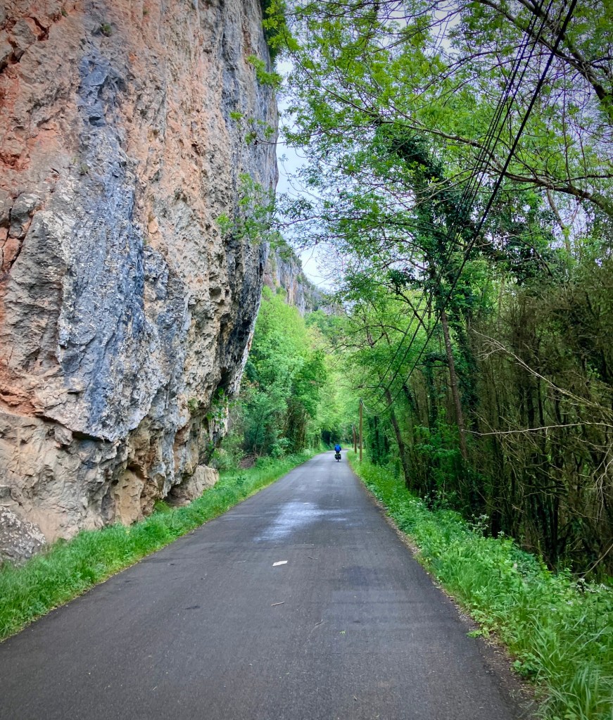
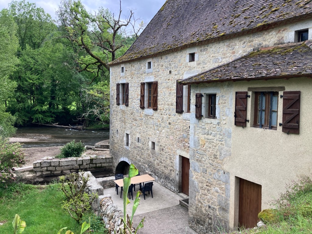
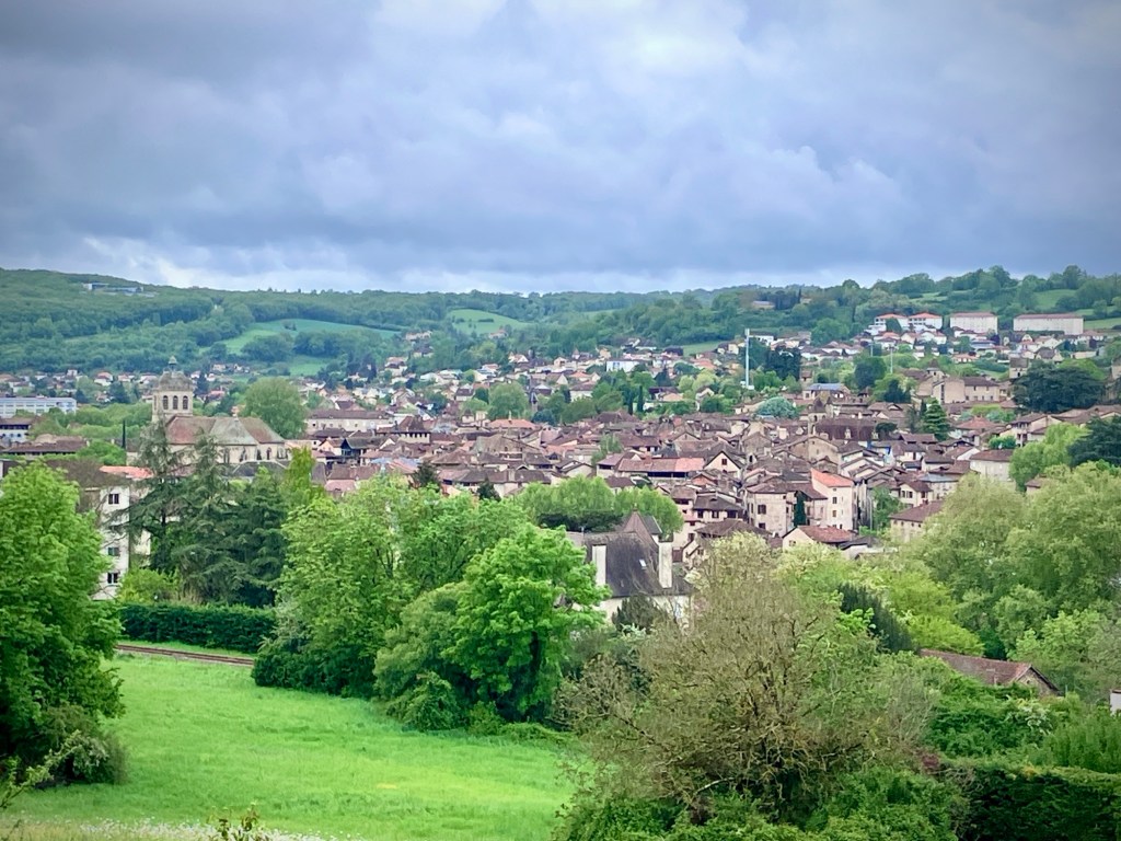
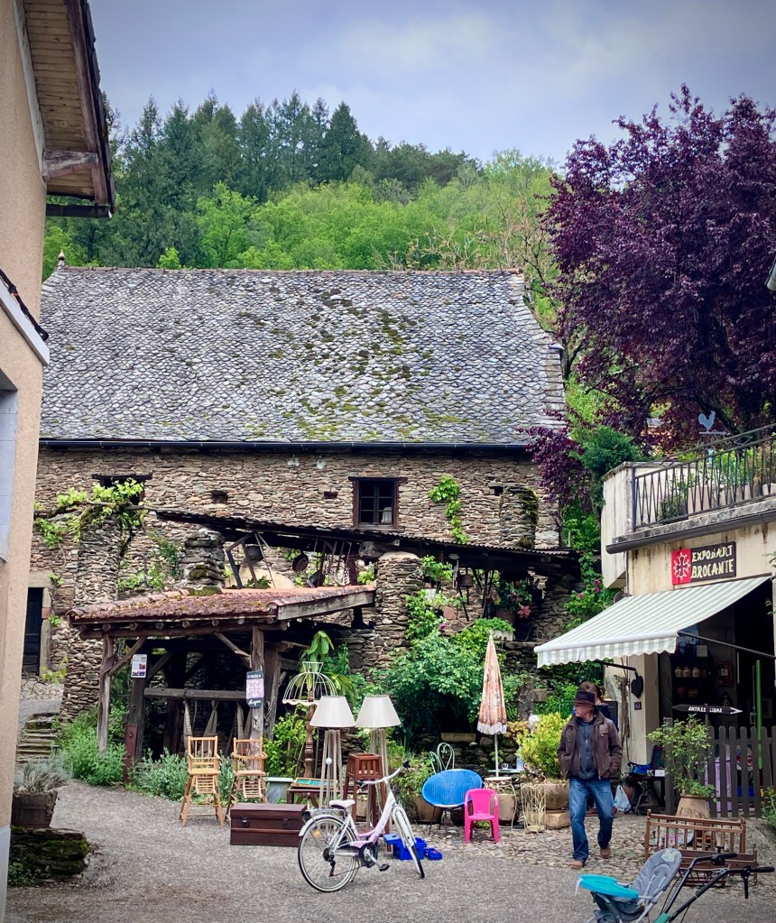
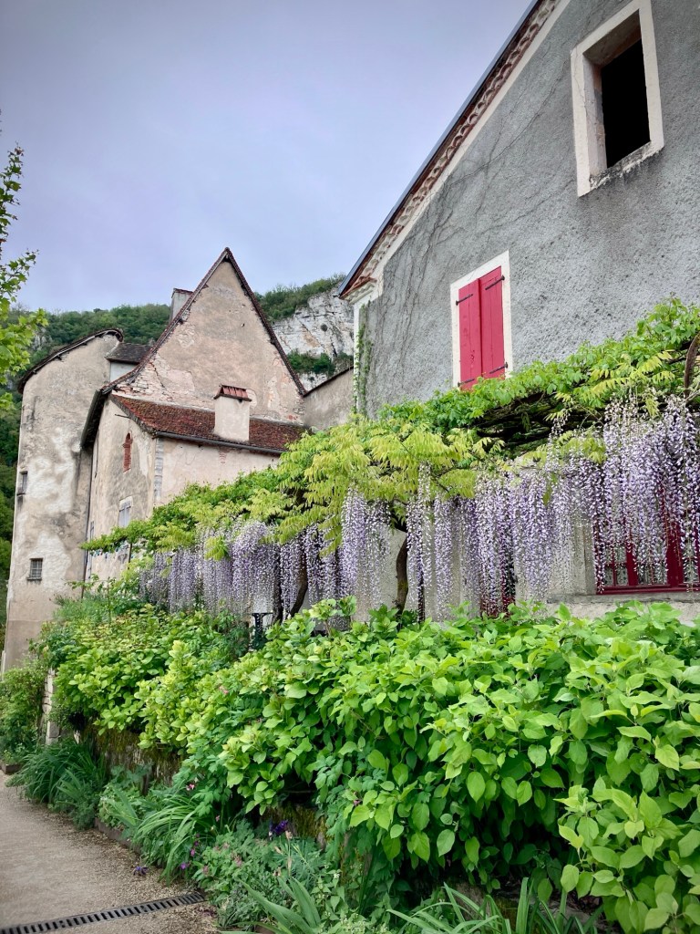
The ride from Cahors to Cajarc spans the Parc Naturel des Causses du Quercy from west to east. The villages are extremely tidy, with some restored houses, cottages, and farm buildings. There are also nice sections along the cliff walls, and the roads are not busy. We made it to the scenic village of Cajarc and our Logis inn (with dinner!) after a rewarding day of cycling, and I began to plan our next day.

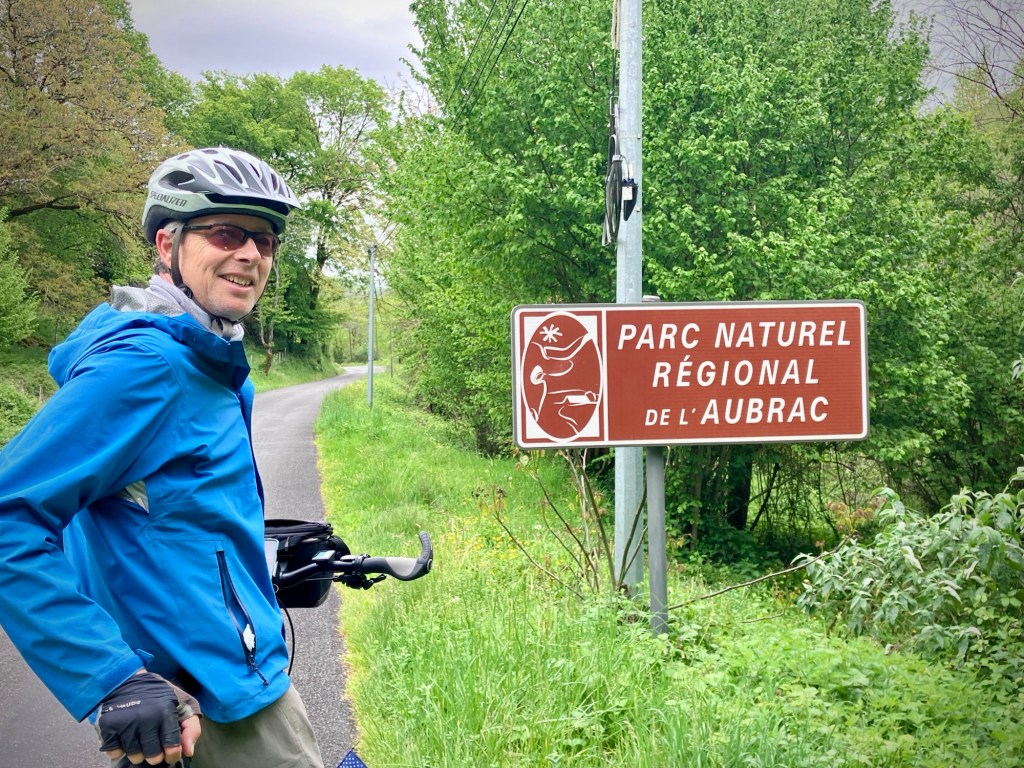
But the weather was starting to get tough. The next day a front was coming through with winds of 25mph and gusts to 50, and if we headed up the Lot route it would be right into the headwind. Yuck. We could shorten the day to account for the wind, but instead decided to head over the big limestone ridge to the next valley of the river Célé and the small city of Figeac.
go backwards!”. It usually works out.

I had picked a fairly direct route using my goto navigation App Komoot, and mentioned this to the friendly hotel host as I checked out. Good thing as he suggested an alternate route that turned out to be a gem. More climbing and longer, but it would take us deep into the scenic Célé river valley and keep us in the park longer.
The climb was quiet and the aspect of the huge limestone gorge that defines the Cele valley protected us from a lot of the wind, or at least made the ride alternate between headwind and freakish tailwinds off the canyon walls. But you can’t escape gale winds and the last 10k into Figeac were exposed and a bit hellacious, with grit blowing in our eyes and branches falling from trees. But we made it to town before the rain started to dump and salvaged a memorable day from a potentially mundane slog.


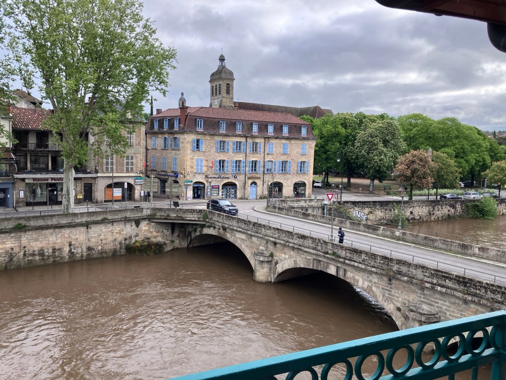
Figeac is a pleasant river town with enough of a buzz on Saturday night for us to get rejected at our first Creperie restaurant pick, so we settled on a fast and casual burger place and a beer before we had a meltdown. We were very hungry and a worn out from the wind.


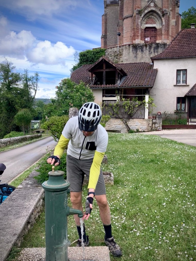
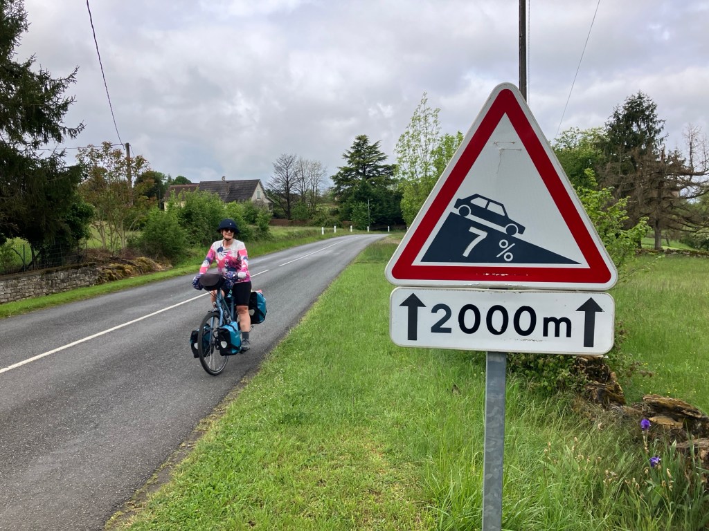
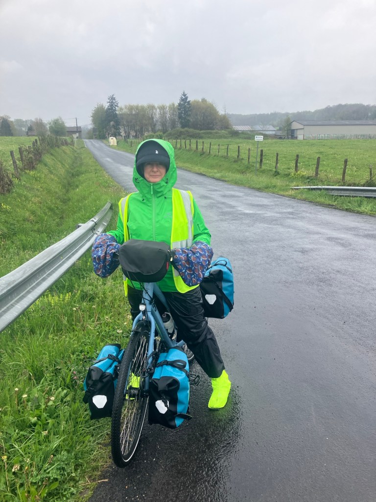
We wanted to get back to the Lot valley, so that meant going back up over the plateau of the river canyons on Sunday morning. But we are pretty strong now and Cheryl powered up over the two fairly steep climbs. Here’s the thing with loaded touring bikes, they are actually surprising easy on flats a gentle grades, even carrying 20 kilos or more. A 4 or 5% grade is pretty sustainable for longer climbs, but each percentage increase after that really makes a difference. Physics, gravity, and vectors. Over 8-10% and you may need to start serpentine S tracks across the road to keep on the saddle for a longer climb. You can even stay in the bike for short bursts of 12-15% grade, but it’s tough to sustain.
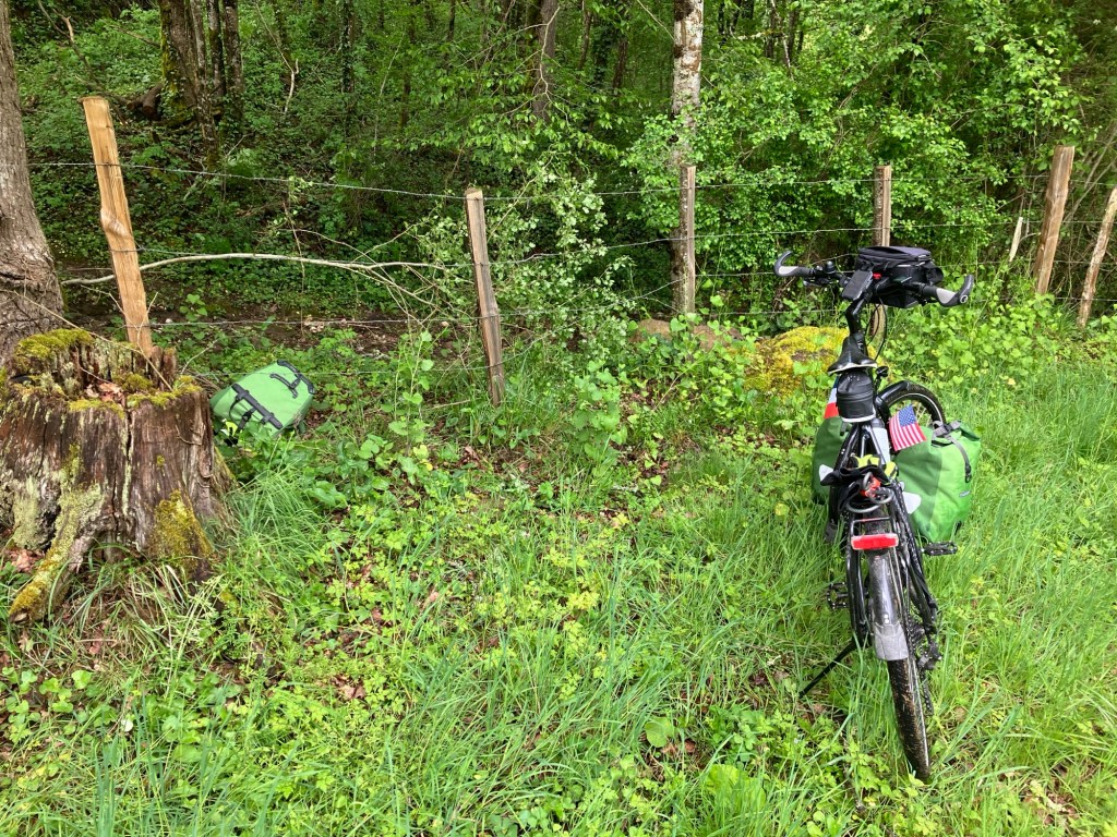
Touring bikes are so much more sensitive to headwind and grade than a lightweight road or mountain bike. They fly downhills with the extra weight and often act as sails with a hefty tailwind. As we continued to push up some of the steeper hills, you can’t help but think about the extra junk in your bags; the two kryptonite locks, cable, tools, 4 spare tubes (really?), ground coffee, binoculars, a small backpack, a yoga mat…extra socks and shirts, and my biggest luxury, 3 pairs of footwear. The thing is we are living on our bikes for three months and really appreciate the extra gear at times and when we are off the bikes for house sits or city stays. So we press on with twice as much weight as we could manage for a short tour.


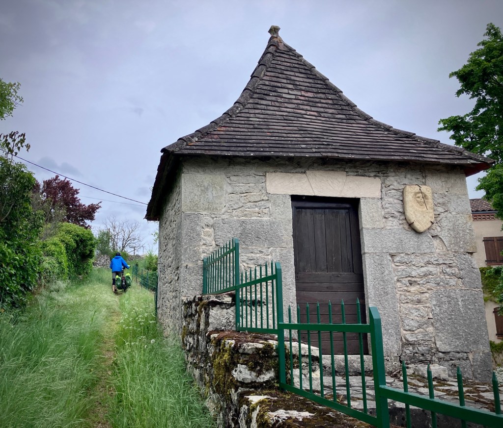
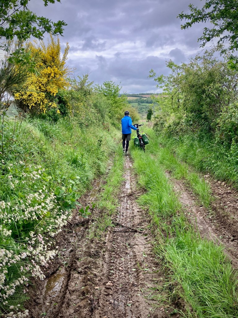
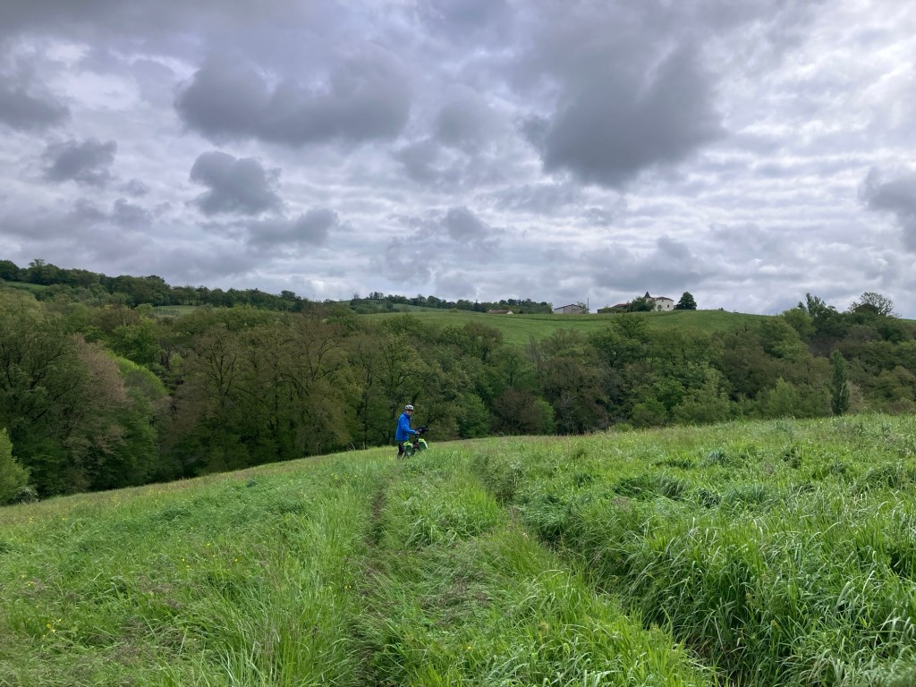
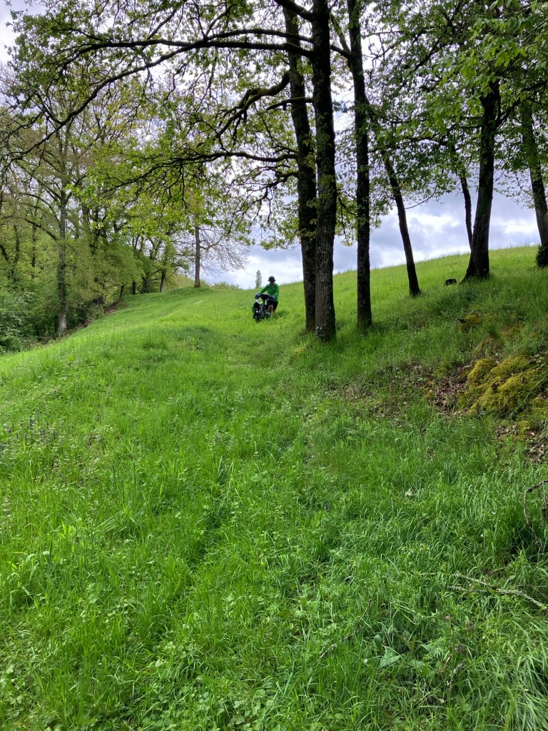
Once over the climb we followed a Komoot route that took us down the side of a mountain on a rutted farm track that turned into a rocky debris blocked ravine and creek bed with steep edges. It turned a “10 minutes flying down to the river for our coffee/tea break” into an epic reconnaissance and stream forge that ranks up as our most memorable.

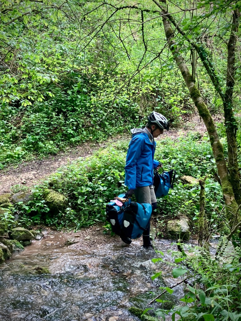

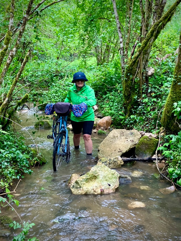

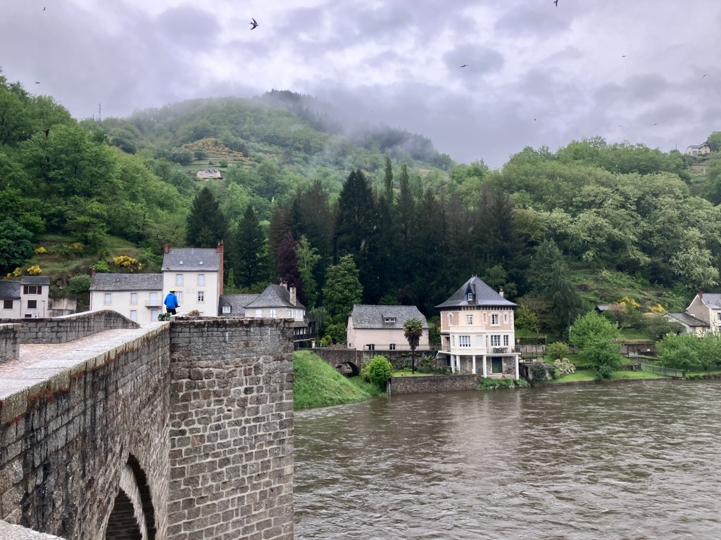
So we wiped off our bags and bikes, changed into our sandals, and put our soaked shoes and socks on our racks. Luckily, we were cheered up quickly as the remaining 35km up the Lot to Entraygues-sur-Truyère was peaceful and scenic. Our room for the night in Entraygues was up a big steep hill from town, which meant a bit of pushing. But the kind host was waiting for us at the door and offered to dry our shoes by the fireplace and gave us some fresh juice and cake. We would survive. And better yet, one proper restaurant in town was indeed open Sunday night, so that meant a bit of wine to warm us up.


But that night set me (the travel planner) into a bit of a panic. I had planned that we would continue East on the V86 Lot route another 100k through the hilly Parc Naturel de L’Aubrac and then catch a local train north to get us closer to our booked train link to Paris. But I discovered part of that local train line was shut with replacement buses that don’t take bikes.
And the weather forecast was grim. Rain and lots of it the next day. No trains and no alternate routes out of this immensely rugged junction of mountains and river valleys. I explained this to Cheryl and she said, “Yup, we’re in a bit of a pickle.”


Instead I decided that heading north to Aurillac was our best option, as from there we could catch a train over the highest parts of the Massif Central. But the routes would be tough, especially in a cold rain. We could try to wait the rain out a day, but that put our train travel on May 1st, a French holiday and the trains were very limited out of Aurillac. And there were flood warnings.
So we decided to ride.


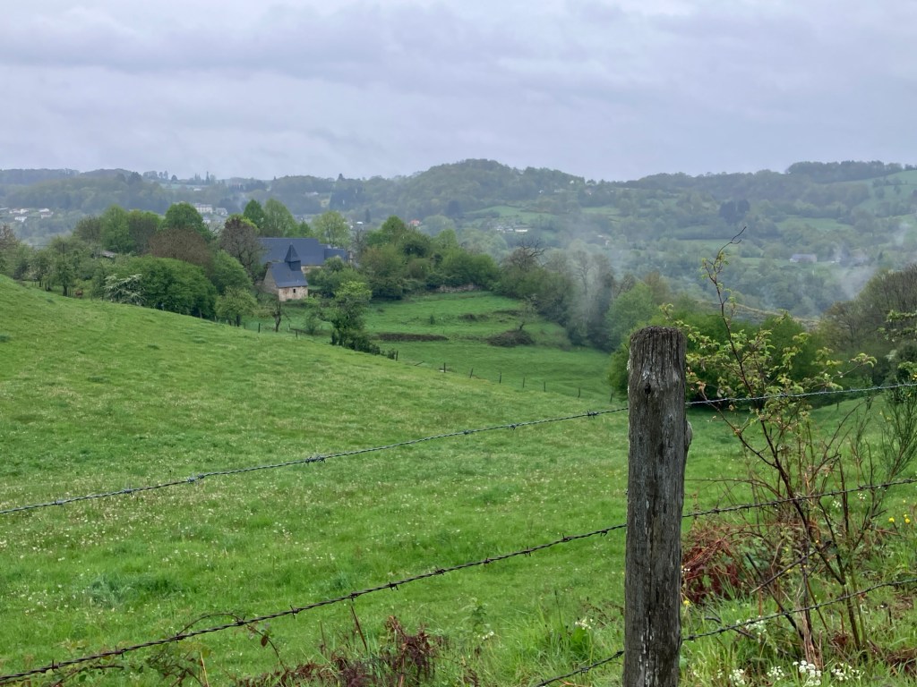
How do I manage difficult days for my favorite (and only) client. First off, I try to note some of the difficulties of the day, especially climbing. But the key is to not overdo it. Don’t talk about too much. I knew this day was going to be extremely challenging, both mentally and physically. Our route climbed up and down short steep climbs up the Truyere and Goal rivers, up a steep ridge climb and finally up to the huge rolling plateau that separated us from Aurilliac. We are now better at eating something every hour and staying hydrated, but it’s hard in a constant and cool rain. And there were no real towns or villages for the entire route.


Perhaps the worst part of the route was the main road we had to join for our plateau and descent. There was an option on quieter roads, but that added another 15k and 300m of climbing, and we decided that was even worse as we were cold and a bit shattered. So we decided to grit out our teeth for the direct route. It had speeds of 80-100km and was fairly busy with fast traffic and some big trucks, with no real shoulder. But sometimes you need to take some chances and we had some pretty bright clothes and lights. Thankfully the drivers were all pretty good, and the pavement was very smooth, so it was manageable but certainly not a segment we’d relish.

But when we did finally roll into town and dripped our way through the lobby of hotel, there was not just relief, but a sense of accomplishment. We did it. It was over 1000m of relentless and occasionally steep climbing. And we could catch the train the next morning over the Massif Central to continue our tour. We were out of our little pickle. Happy travels!

