Dijon through the Alps

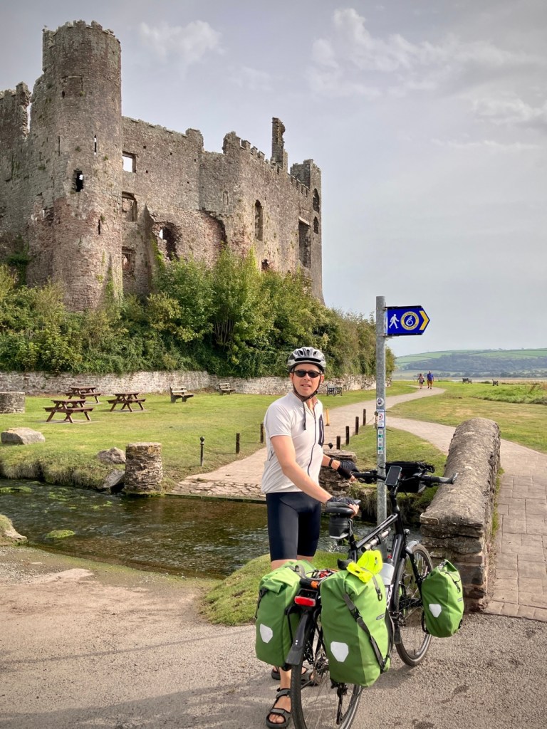
Even on long travels, the end of any travel segment can start to drain your enthusiasm as you start thinking about the next phase of your journey, or worse, the work waiting for you back home.

Heading to Albertville on a beautiful spring day in the Alps. Our minds are now addicted to new.

We’ve all had that end of vacation feeling or remember our childhood summers of freedom coming to a close in late August (Ugh!). But one of the reasons we gave up or locked up most of our material possessions three years ago was to experience the world without that constant end of trip deadline. No limits or boundaries. It’s a magical feeling and one I appreciate more and more as we traverse the world. We are lucky and know it. We recommend everyone tries it someday.

Spring in the Place de la Liberation of Dijon

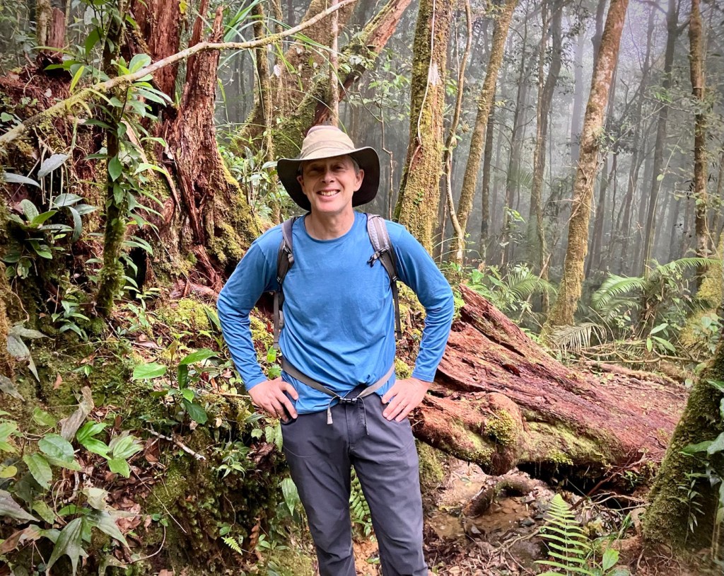
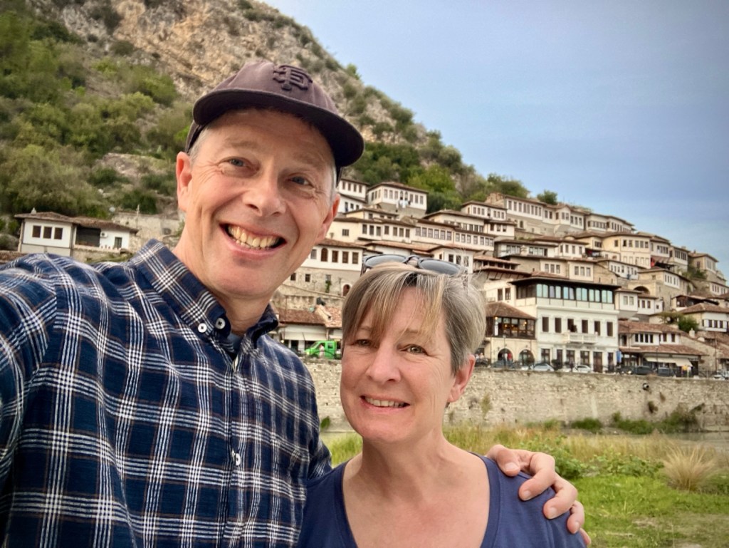
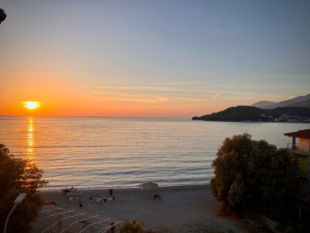
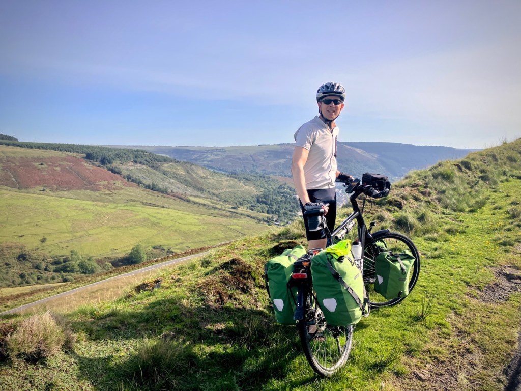
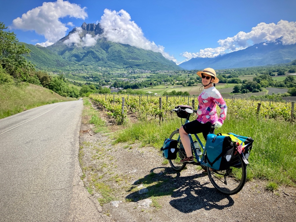
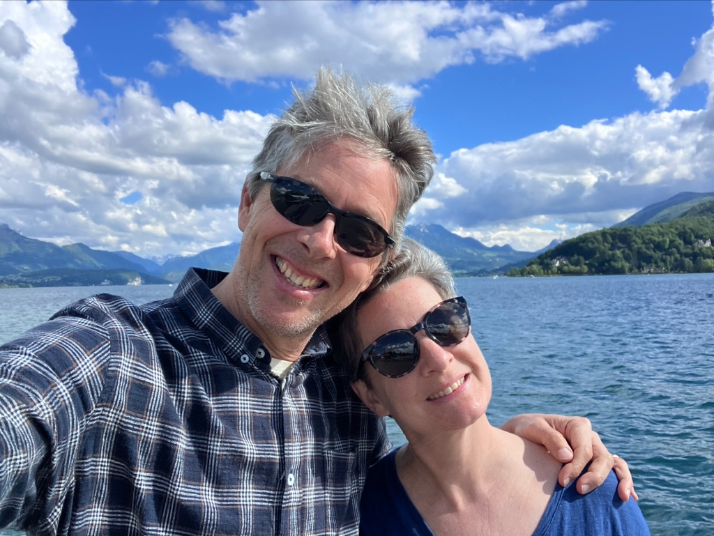
But our last few weeks of spring bike touring in France took a concerted effort to stay focused and motivated. Don’t get me wrong, parts of it were wonderful, and some warm spring (summer?) weather gave us a “vacation from our vacation” feeling in Annecy, a perfect cap to our recent journey.

Signaling my intentions for Cheryl and the locals in Dijon. Église Saint-Michel in the distance. BTW, French cyclists don’t signal much, and seem to thrive on the organic flow familiar to the Dutch.

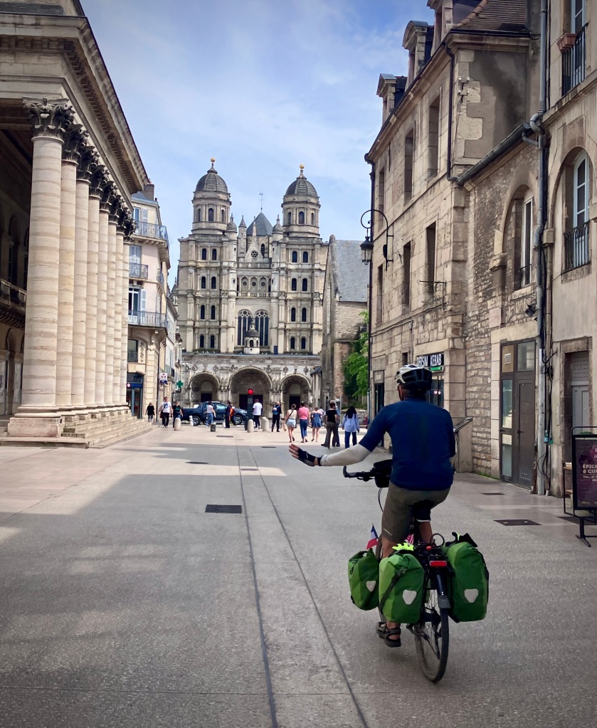
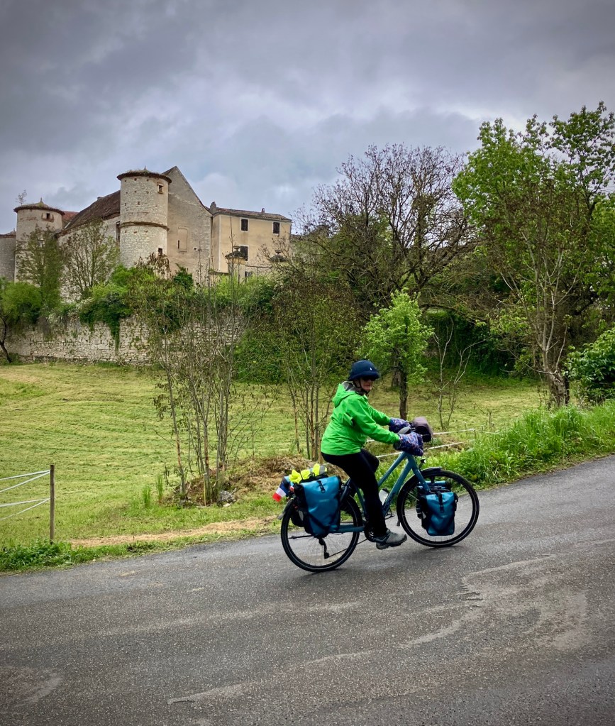
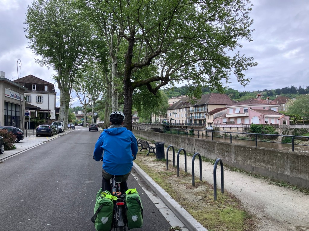
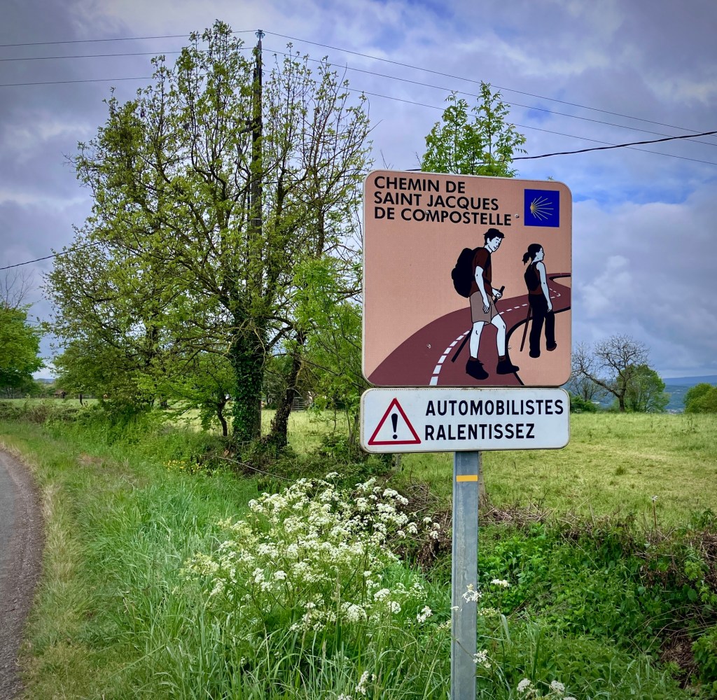
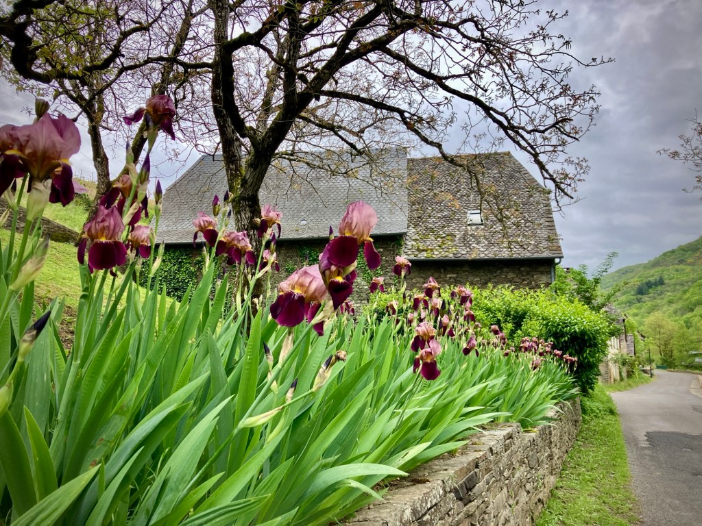
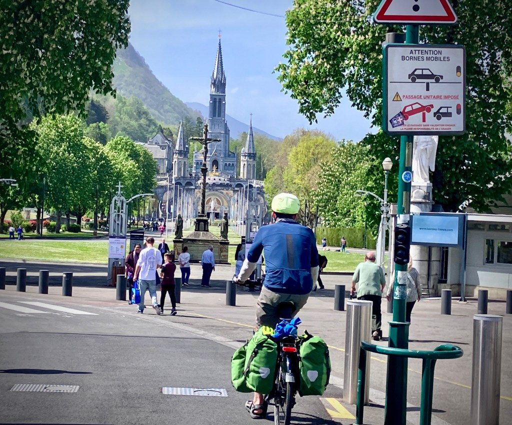
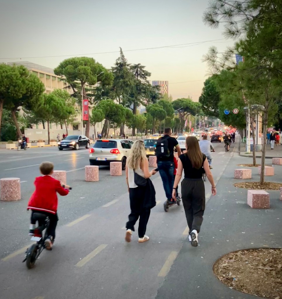
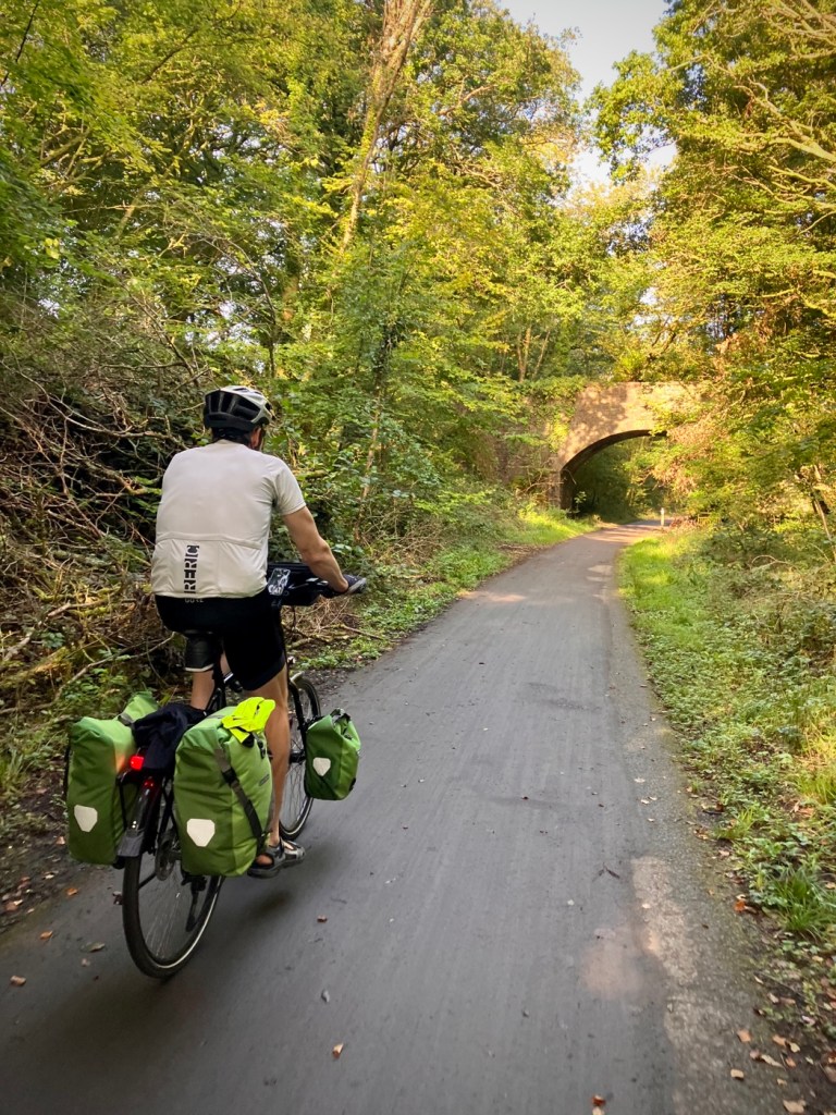
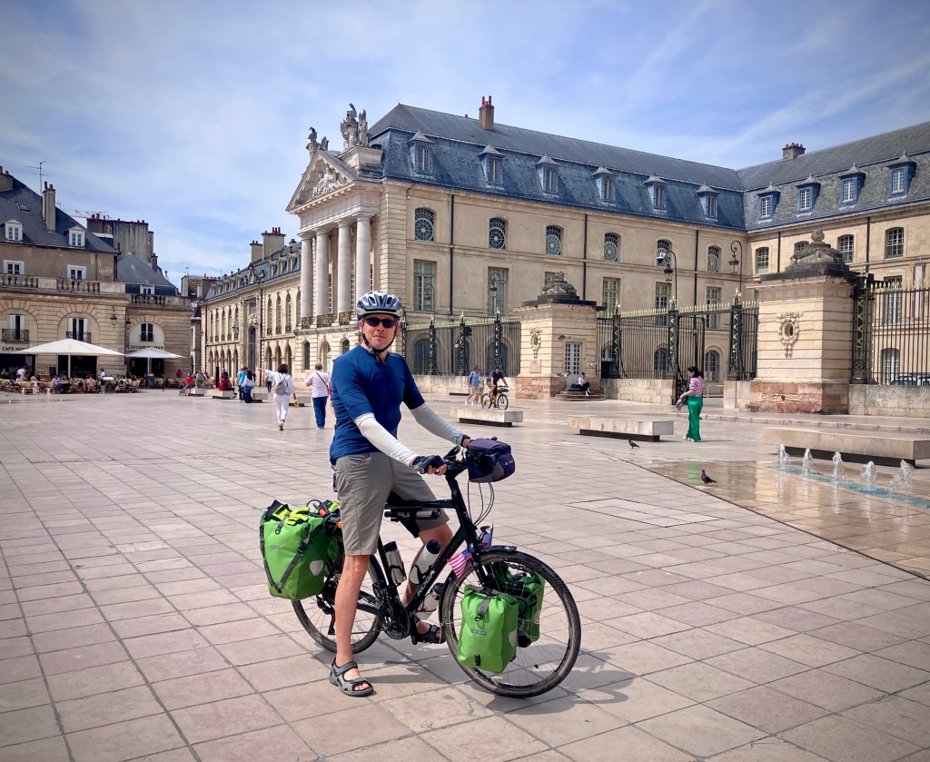
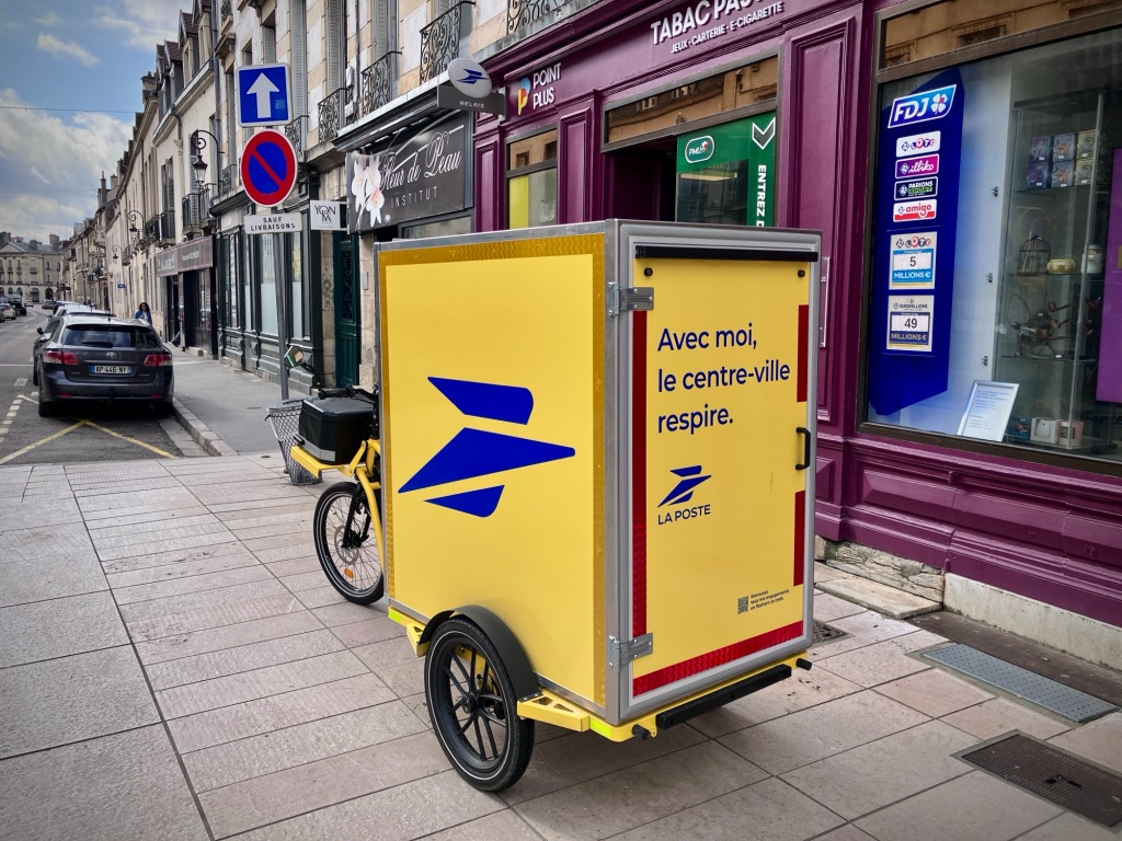
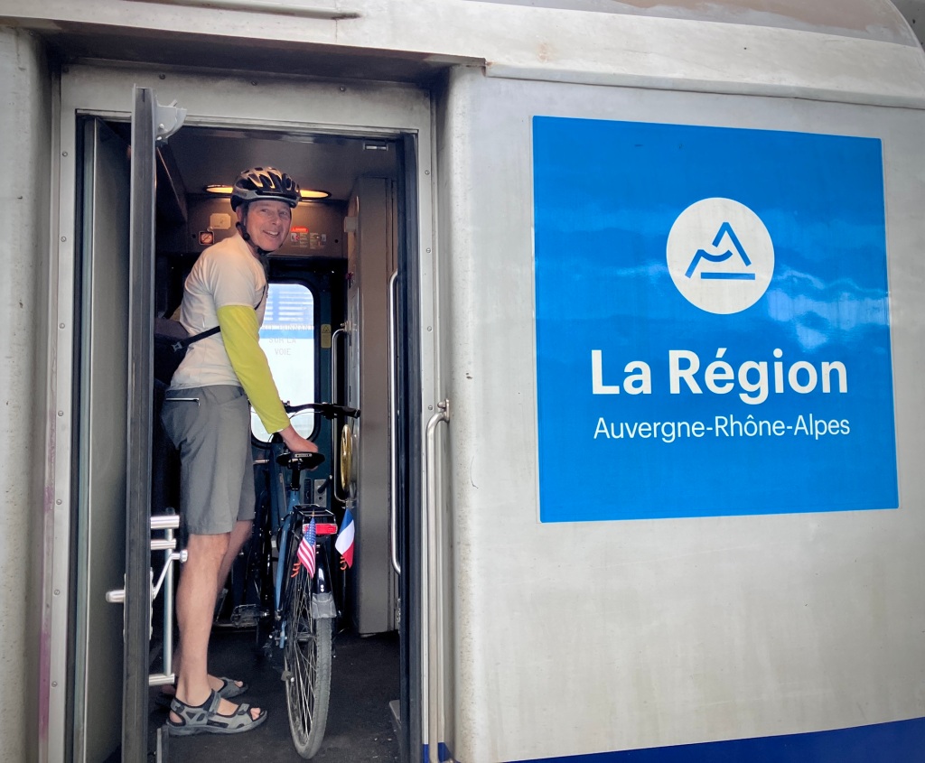
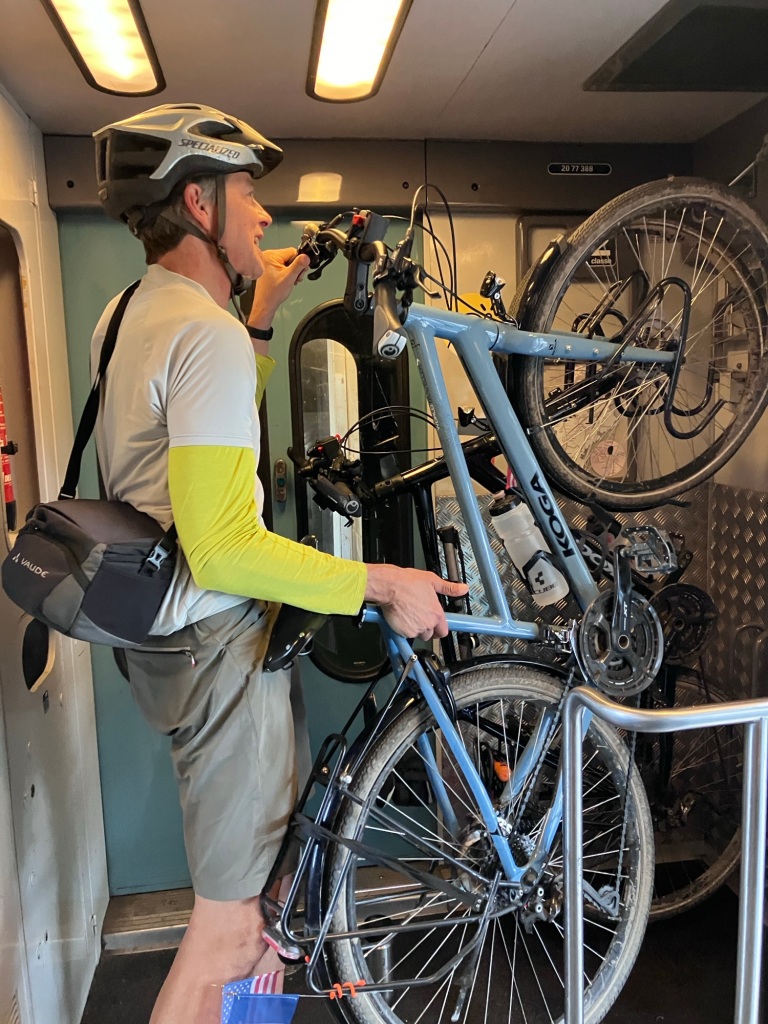
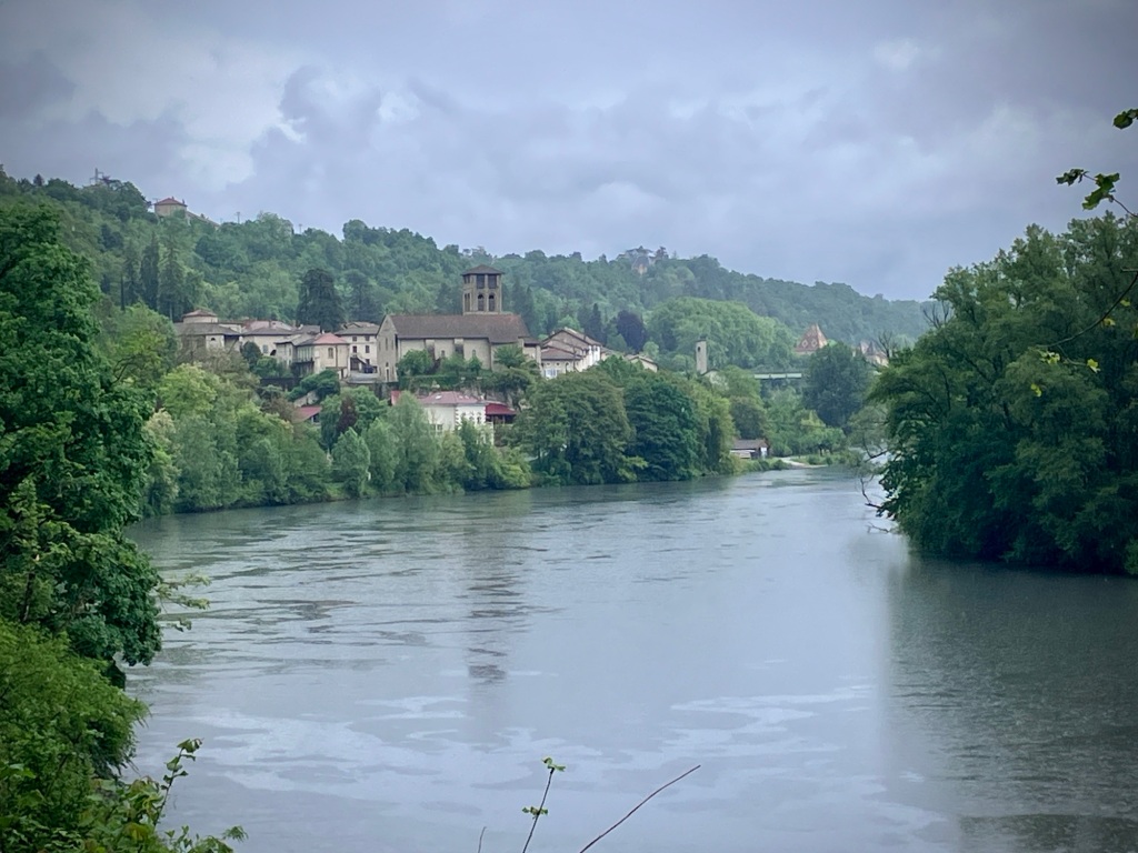
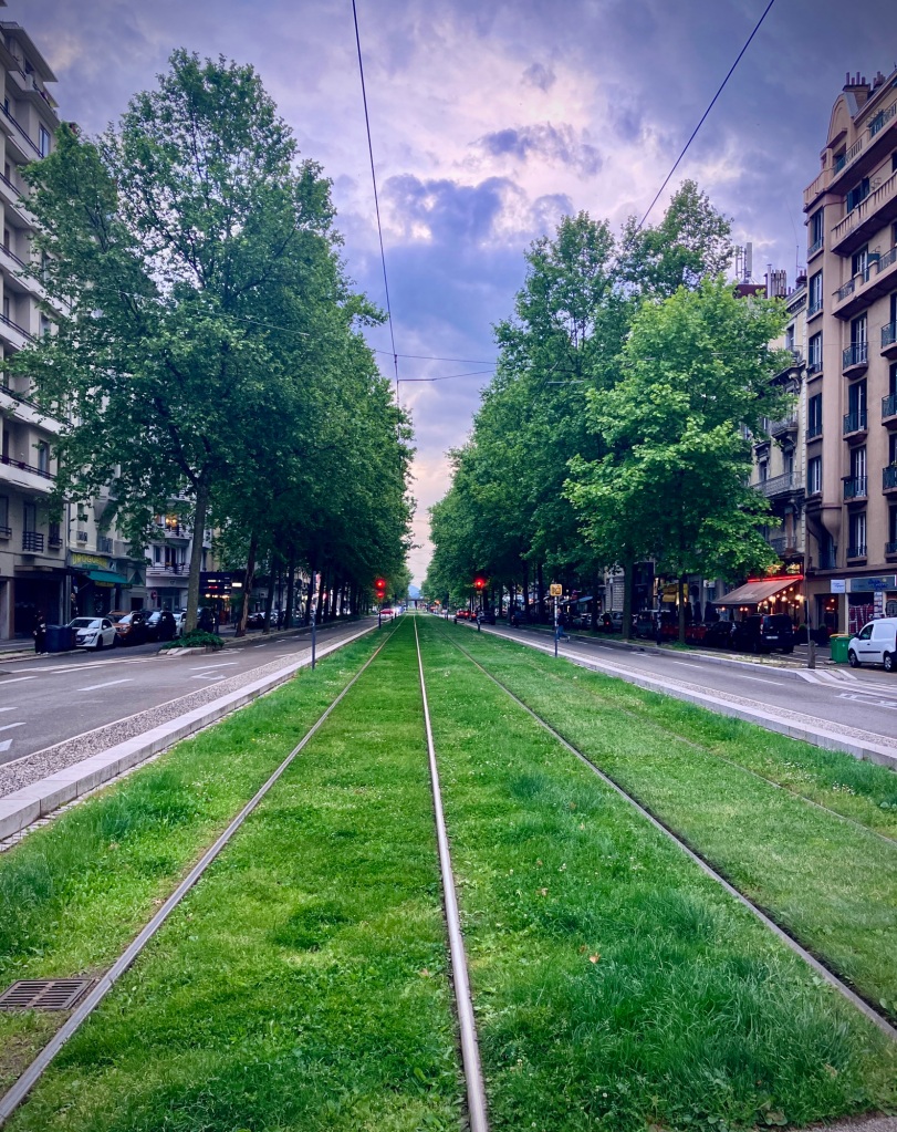
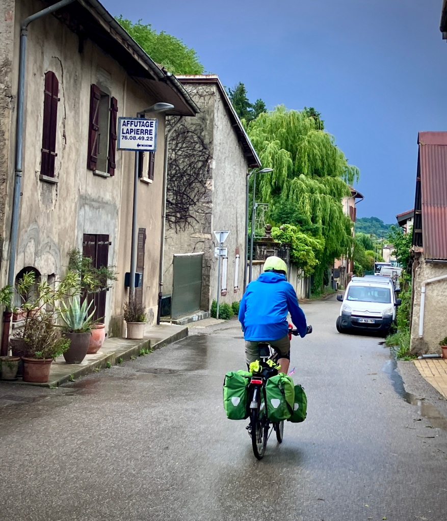
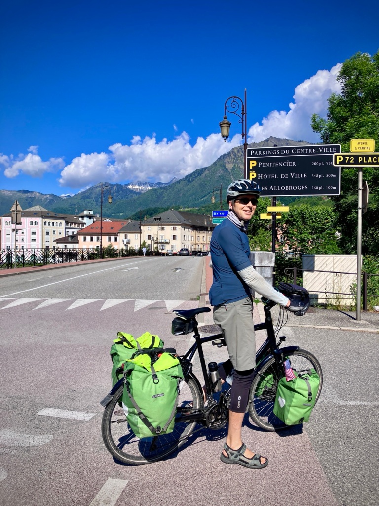
After a brisk morning cycle to our train hop from Les Laumes – Alésia on the Burgundy Canal, we rolled into Dijon Ville station mid-day. We were pleased to see a train platform ramp and the option of an at-grade exit to the street. Outside the station was a bikeway towards center ville. This abundance of bike infrastructure is one of the major reasons why we’ve been exploring France by bike for nearly 3 months!

Dijon Gare. We love platform access ramps; the best station solution for all when space permits.

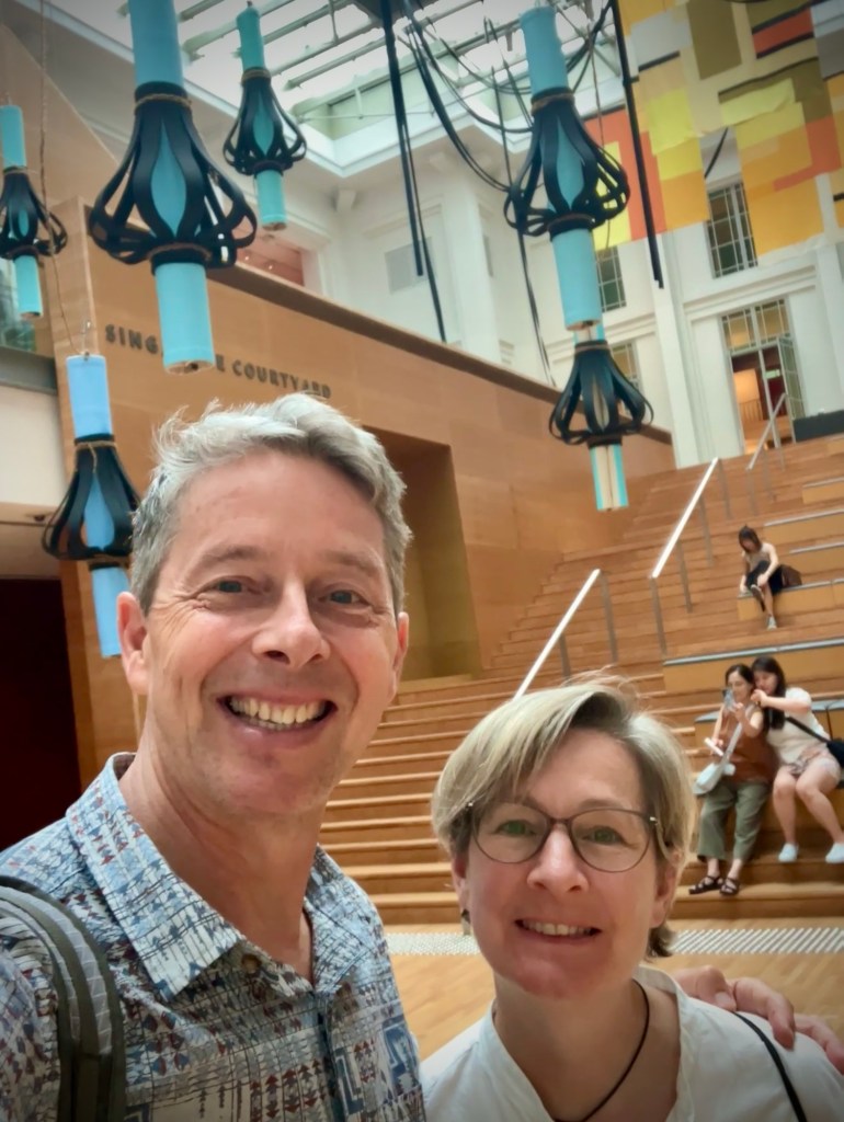
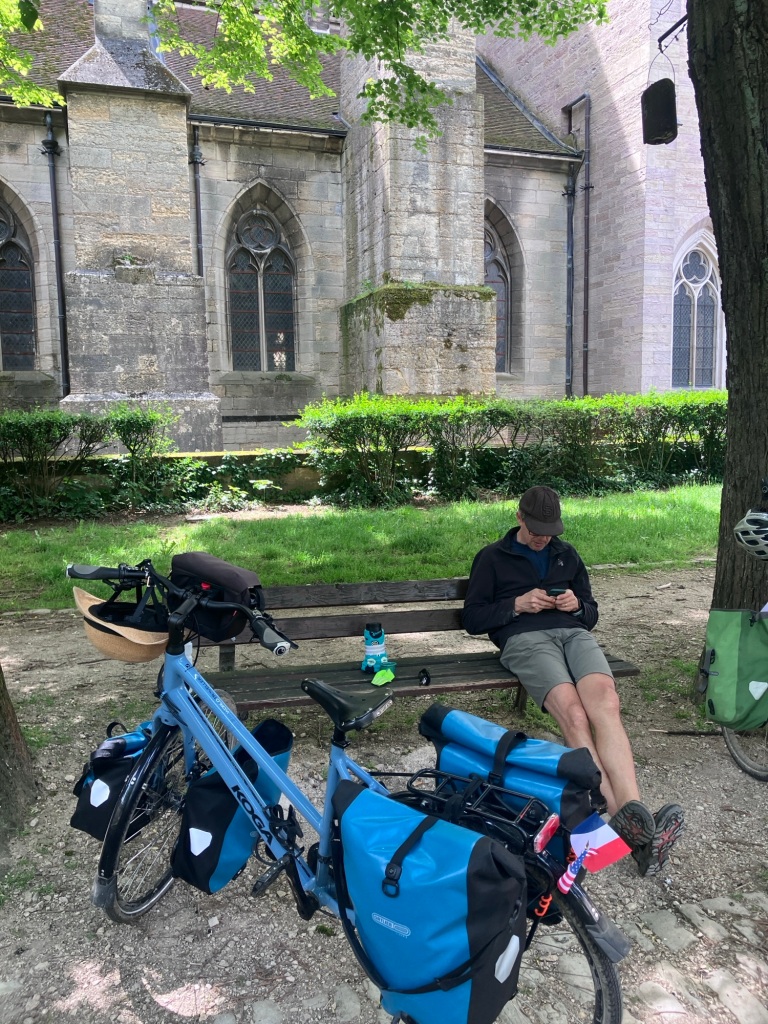
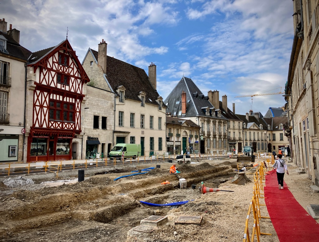
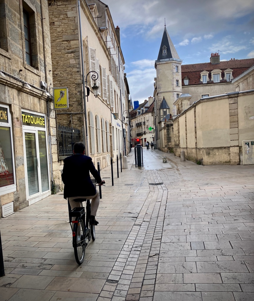
This was our second visit to Dijon while cycle touring, but this time we planned to spend two nights to allow a bit more time to explore the beautiful city at the heart of Burgundy. It’s an extremely pleasant and lively city, with a bike and pedestrian oriented core, parks, and beautiful architecture. Free museums and a wide array of food options add to the draw. It’s also extremely well connected by train on the Paris-Lyon mainline.

History plaques add to the joy of wandering historic Dijon. Many stately buildings with grand courtyards were built by the wealthy in the mid 1700’s. Vive la Révolution!
A few hours to kill before checking into our bike friendly hotel. Often nomadic life includes sitting on park benches; maybe travel planning, reading a book, or just watching the world go by.
This area of Dijon was being upgraded this year to meet the Mayor’s goals for livability. We noticed a lot of new streetscape improvements and tree planting in urban areas of France.
Upgrading to City 2.0 – more walkable, more trees, and limited car traffic.
E-bike cargo and mail delivery is really put to the test in France and the perfect tool for compact urban centers.
What is behind these beautiful blue doors?

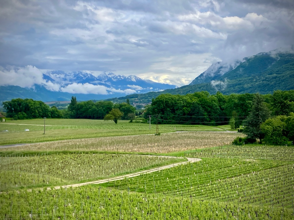
After enjoying a day off the bikes in Dijon, we had planned to continue south and east towards the Jura mountains and Geneva. But as I looked into the details of our planned route, I was thinking maybe we needed a Plan B.

Jardin Darcy at sunset.
Le chien de la Tabac.
Access to the Dijon city center is controlled by retractable bollards, making it a pedestrian and bicycle oasis.

First, there was a lot of flat sections of the Burgundy canal and Doubs River to pass along with a likely headwind. Blah. Second, lodging with food in the Jura is very limited and I was challenged to find places to stay early season once we climbed up to the 3,000+ foot plateau. (Probably better to camp up there.) Third, more unseasonably cold weather and rain was predicted. No thank you.

High boarding train to Lyon. Local TER trains are your best bet with bikes or IC trains with bike space reservation. TGVs also serve this corridor but have very limited bike space, so only work with advanced planning.
Two hooks with pretty easy access inside.

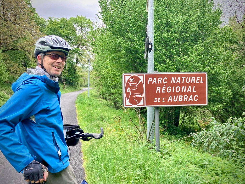
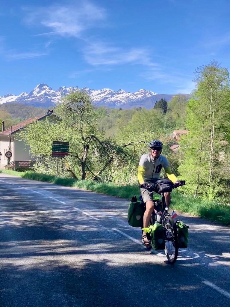
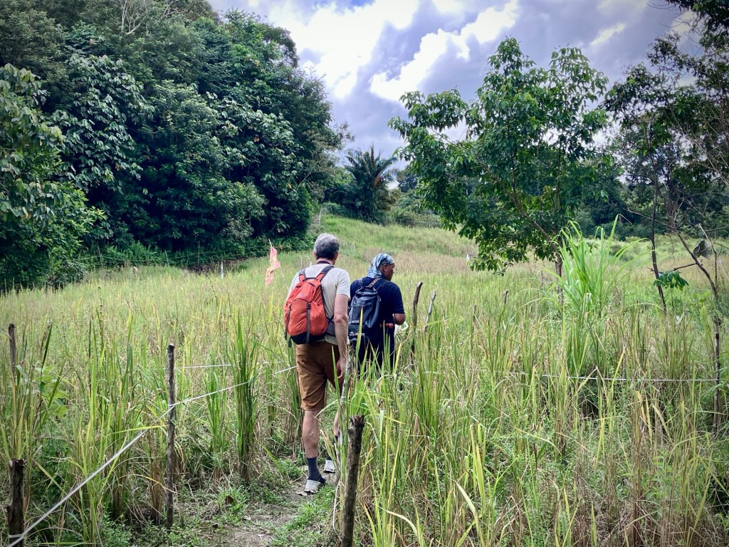
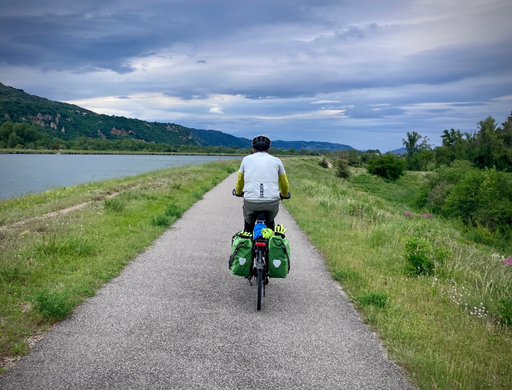
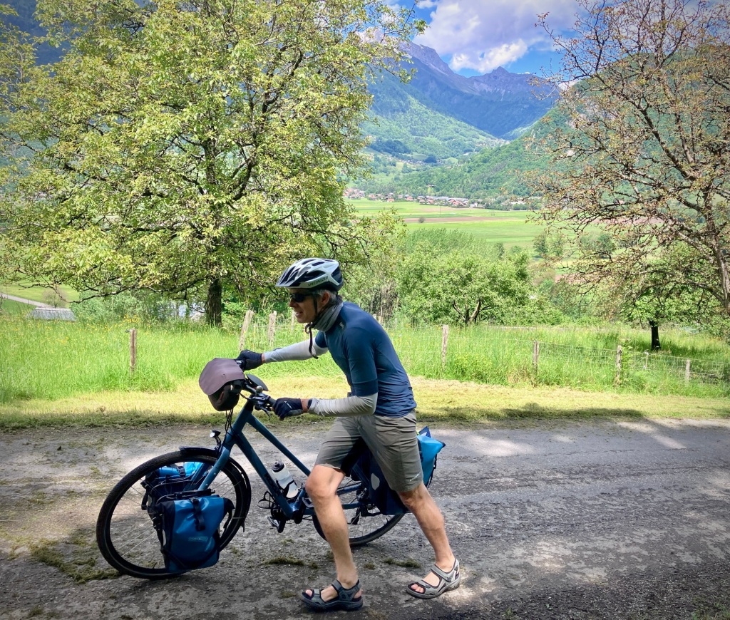
So we pivoted last minute and instead caught a train south to Valence via Lyon, and headed up the Isère River valley into the heart of the Alps. It was the route I had originally scoped for our return to the Vallée Verte. It has a lot more lodging options, lower elevations, and trains for backup. More importantly, we were excited by this new route, which is a key component of (nomadic) life. It’s good to suffer sometimes for the sake of a goal, but also ok to make sensible choices for yourself.

A perfect cafe to people watch in Dijon.
The Musée des Beux Arts permanent collections are free and it houses a wonderful collection of art, sculpture, and antiquities.
Paulus Potter’s “Head of a Sheep” at the Dijon Musée des Beaux-Arts.

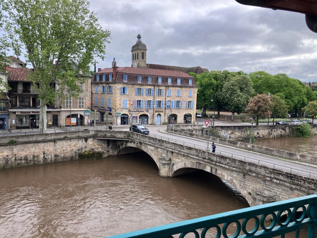
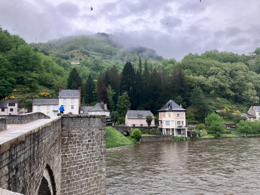
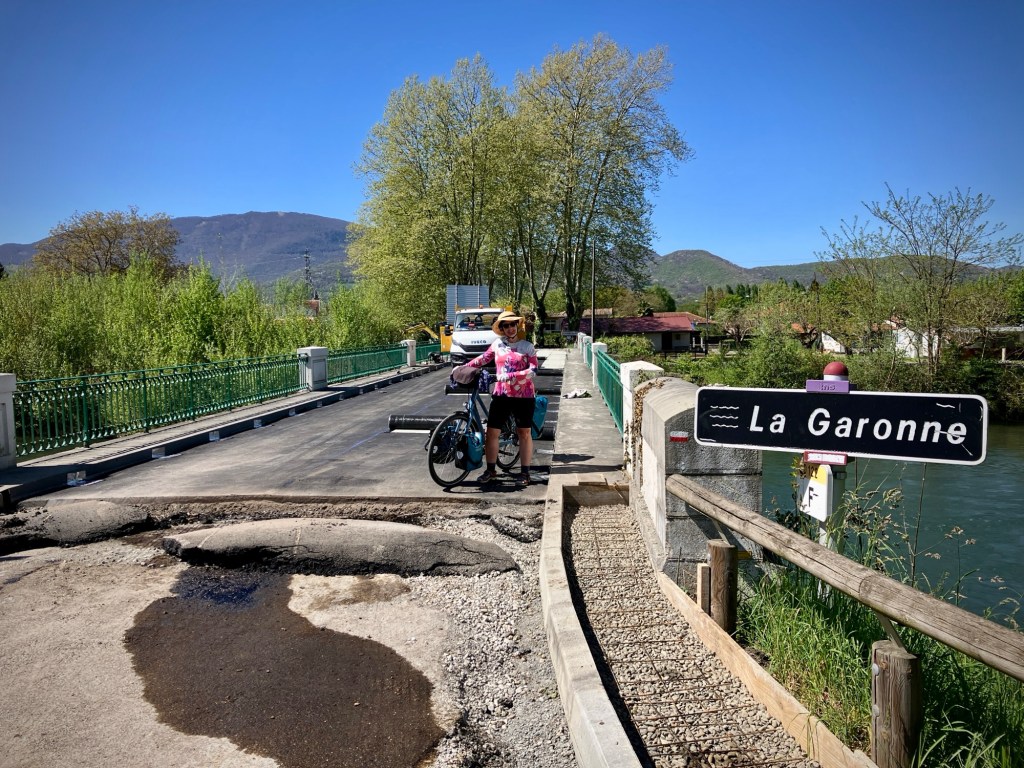
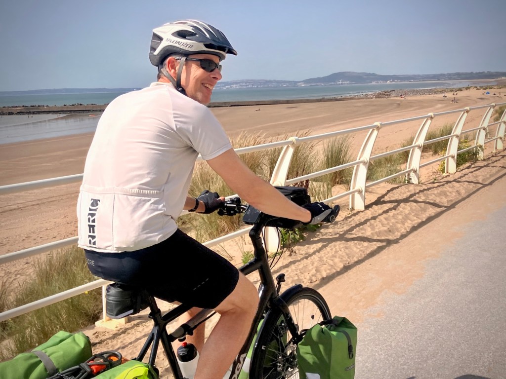
The Isère River enters the Rhône north of Valence and is the namesake of the Department that is a part of the region of Rhône-Alps. We had actually passed through Valence in March on the Via Rhôna, so had to retrace a bit of our route upstream this time. Strangely, the lower part of the Isère River is actually still in the department of the Drôme.

The skies are starting to look threatening as we head up the Rhône near Valence.
Spring really is here!
Great bike bridges on the Via Rhôna and Isère
An homage to our favorite woodland creature.

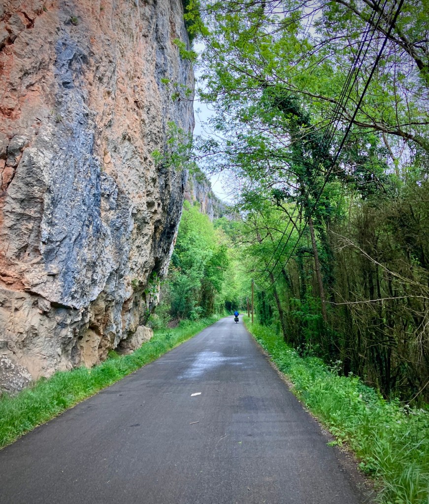
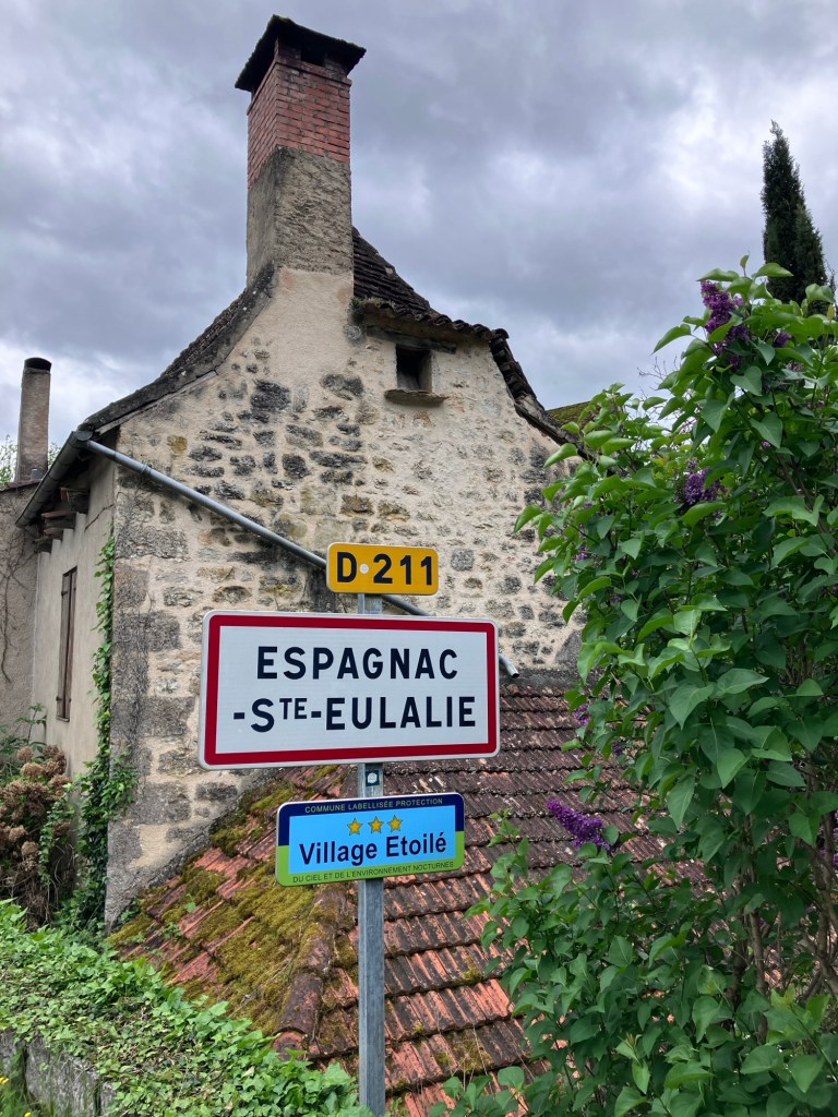
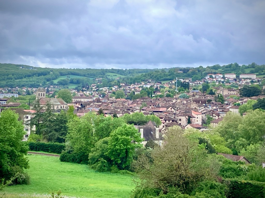
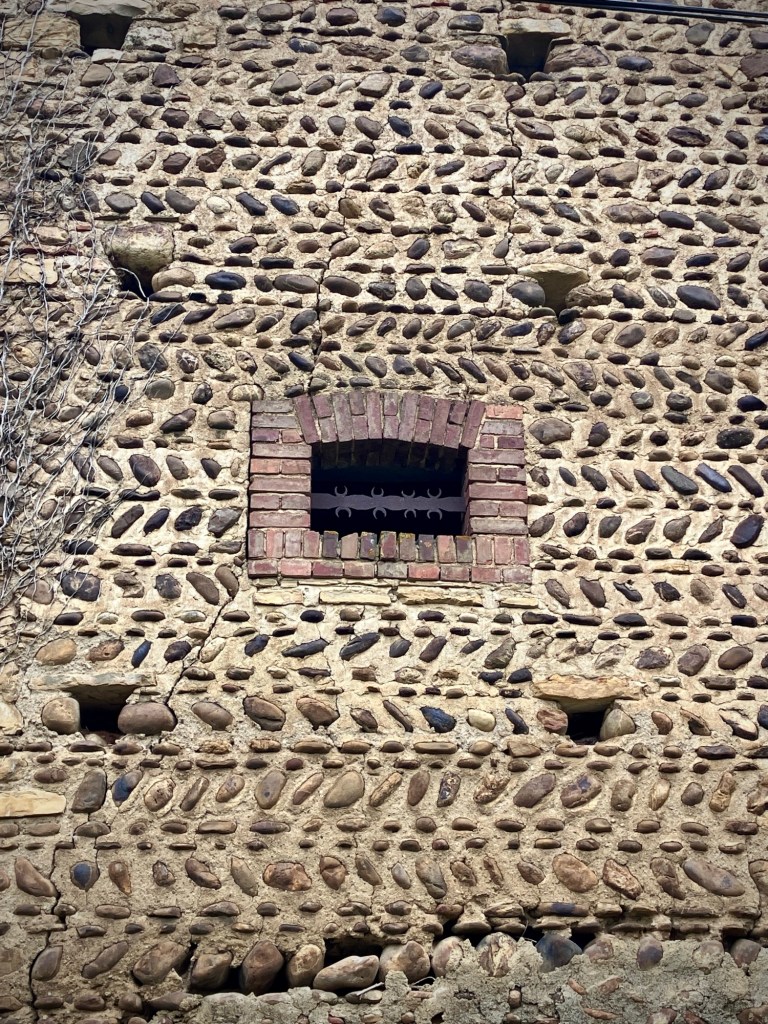
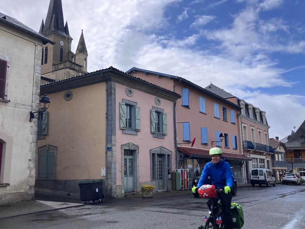
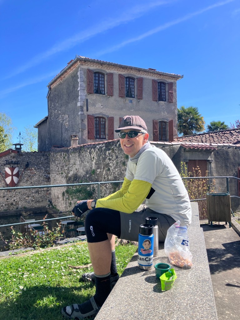
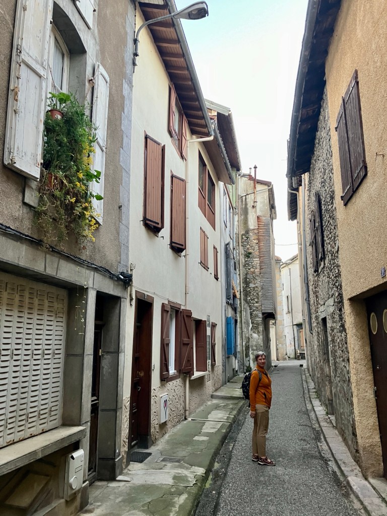
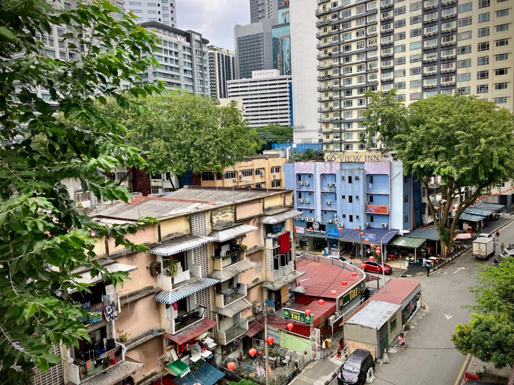
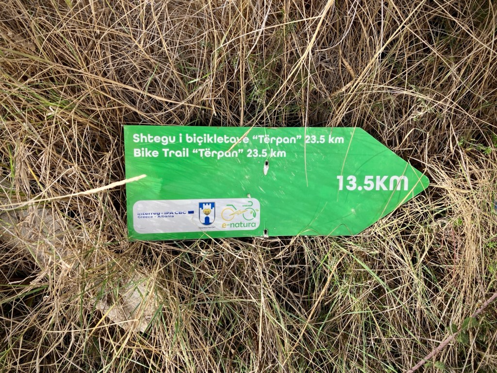
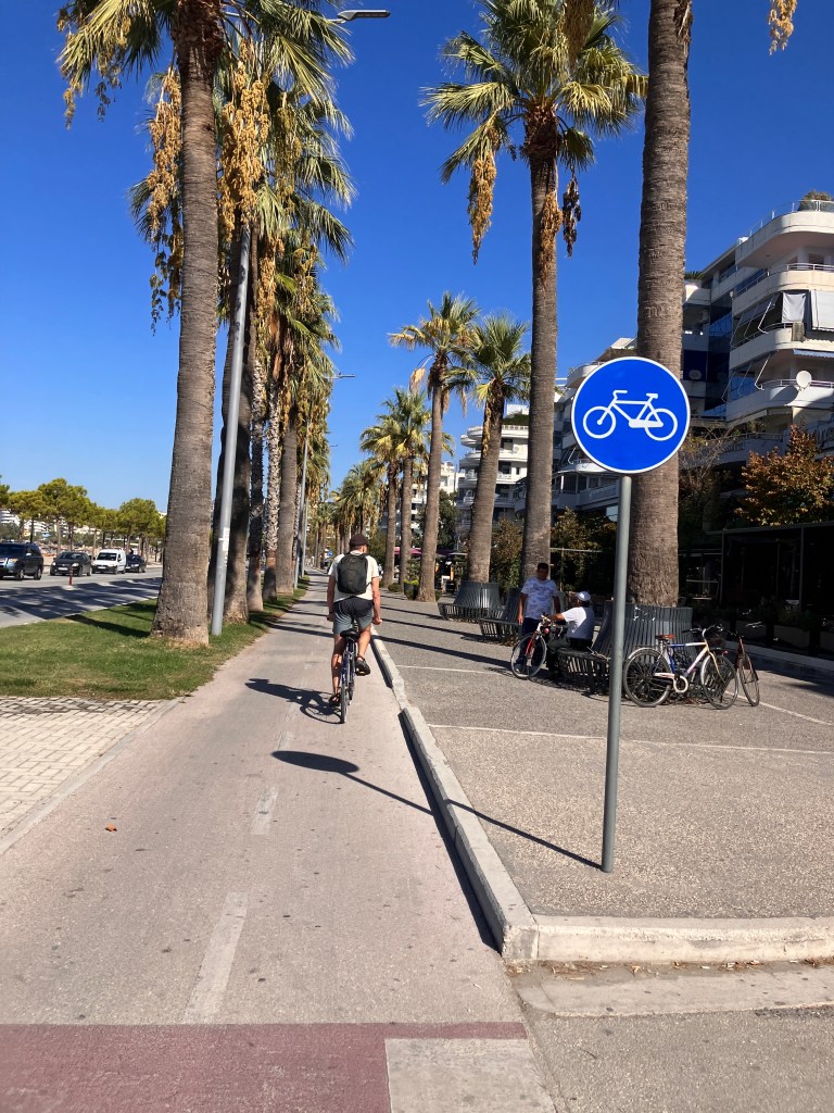
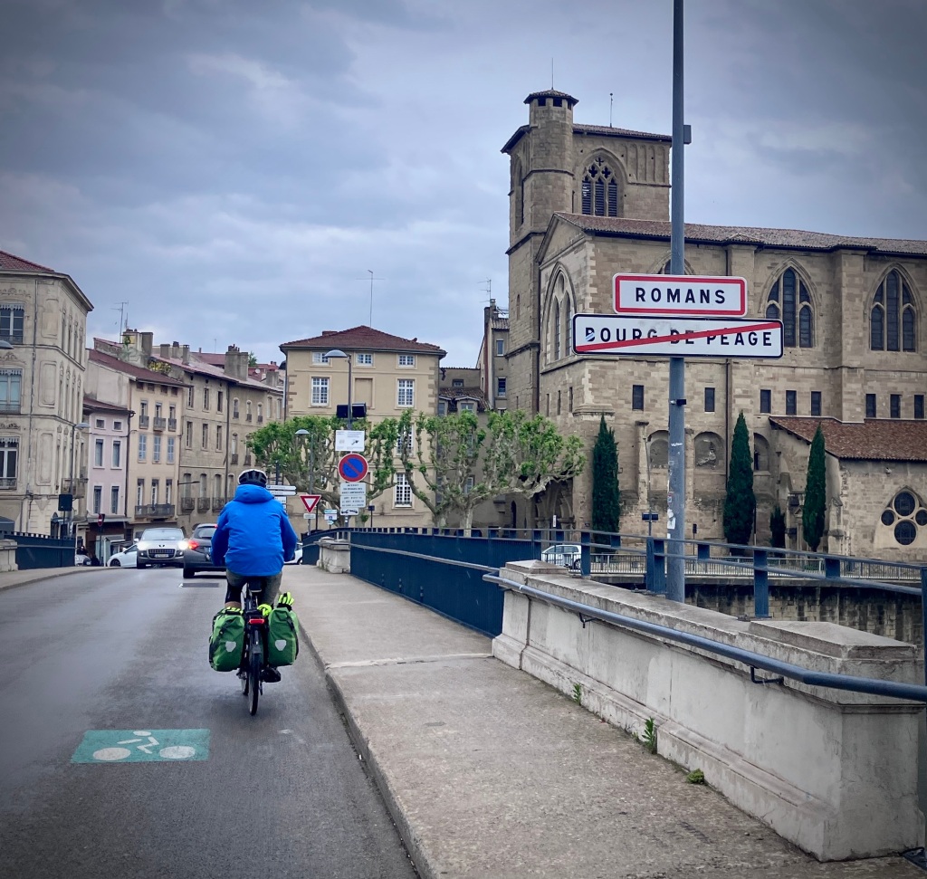
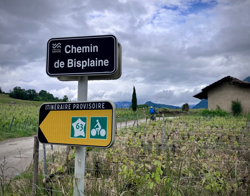
We just beat the forecast rain to our first night stay in Romans-sur-Isère, but were a bit stunned by the somewhat incessant and gridlocked traffic through this old riverside industrial city. We slogged through to get to our surprisingly charming lodging on the edge of the city, and walked back into the center of the town in the rain for dinner. We did find a (the?) fun and friendly place to get a drink and dinner and everyone was very nice to the two noticeable American cycle tourists. The town clearly gets few cycle tourists, although sits on the recently developed V63/V62 cycle route know collectively as “La Belle Via”.

Heading into Romans-sur-Isère. We hadn’t hit the traffic jams yet.
Heading out in the rain the next day from the very nice Hôtel L’Orée du Parc.
Full rain suit and a feigned smile during a slight rain break
We did manage a pastry rain break under a shop awning. Can’t let our French baked goods levels get too low.

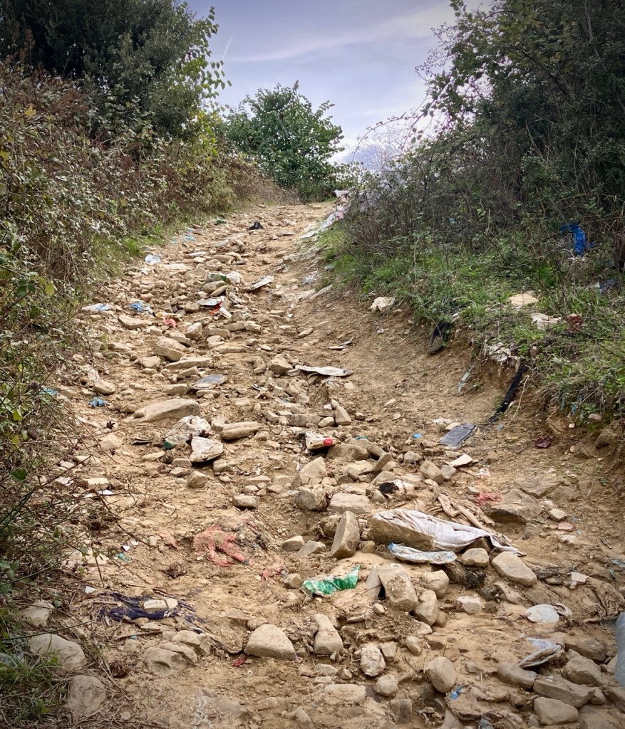
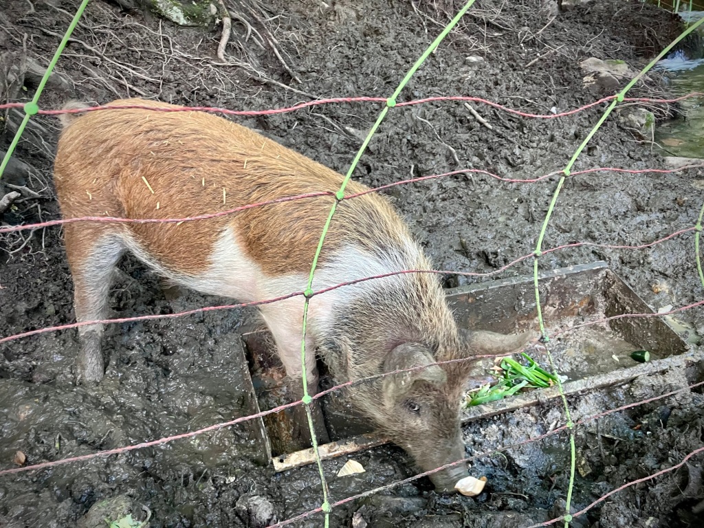
We love to learn about the history of places, even for a one night stay, and Romans has been influenced by its strategic location on trading routes and a major river. Shoe manufacturing is still a business and there is a small museum dedicated to the industry that was unfortunately closed by the time we rolled into town. Further down river are abundant walnut orchards. On the way out of town, we learned another source of major traffic was a nuclear fuel manufacturing facility. But Romans is not a bicycle city and the bike infrastructure was sad or non-existant. There was a renovation of part of the Main Street in progress which may help the pedestrian environnement, but otherwise it seemed to be a bit overrun by cars and parking.

We were following the V63 cycle route up (and down) the Isère which includes some dedicated path sections, but mostly quiet roads.
Hills, rain, and another forced smile.

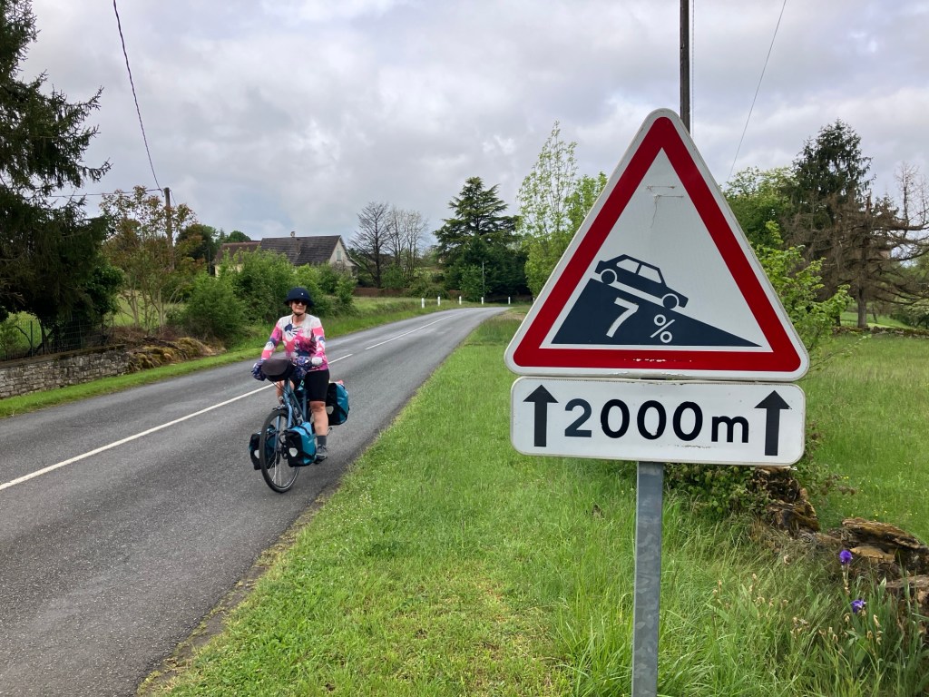
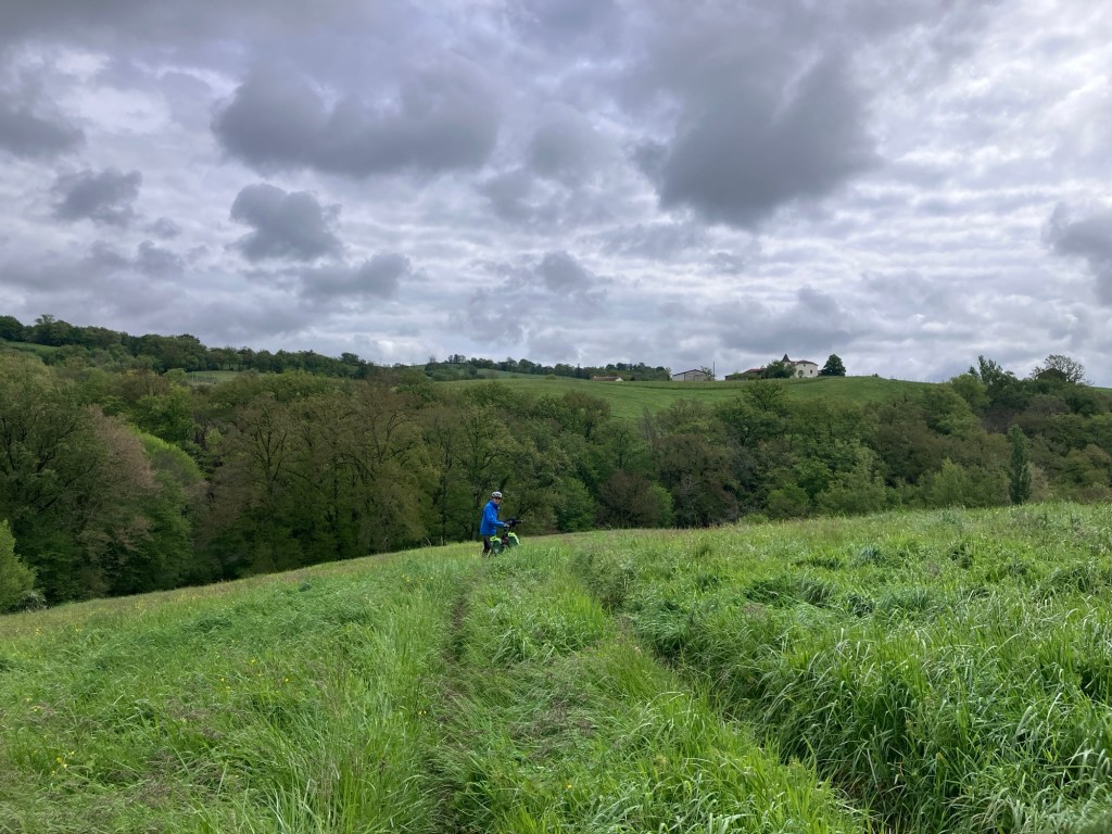
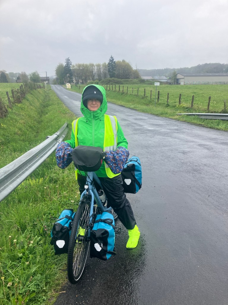
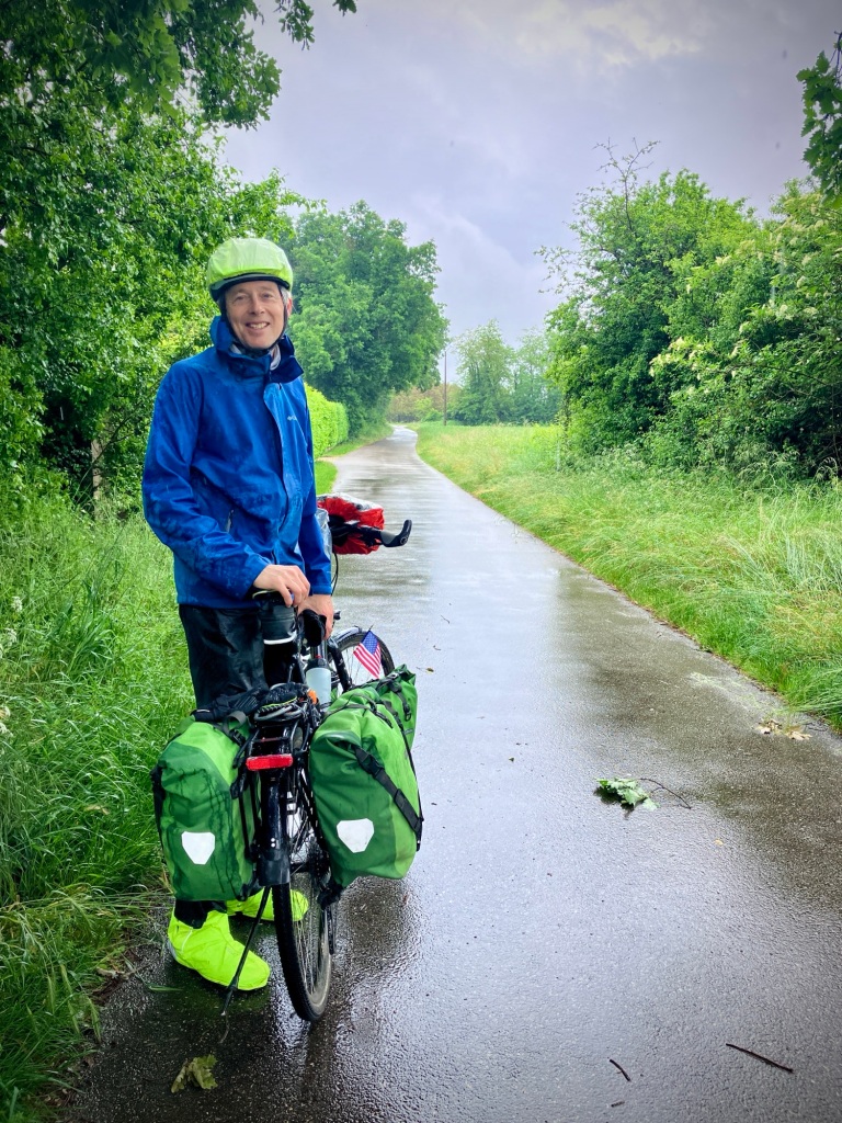
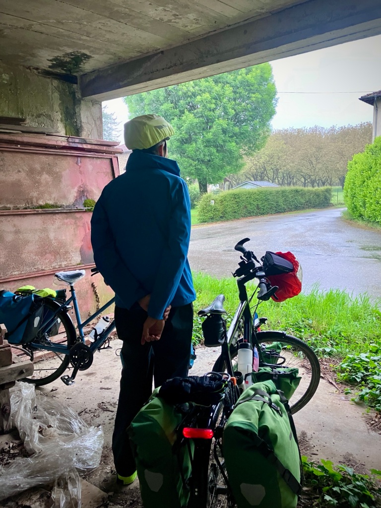
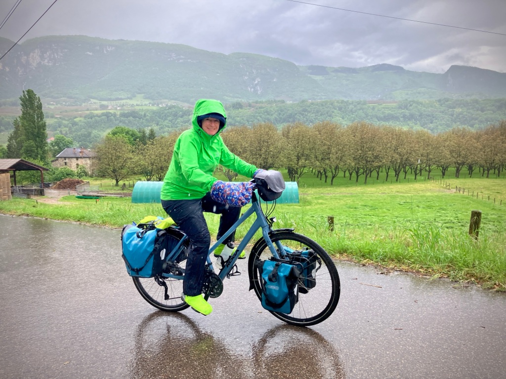
The challenge of the next day was 84km to Grenoble which would have been manageable except it was raining out the door and rarely stopped. We had a low point this day as the traffic getting out of Romans, steep hills, and incessant rain seemed to zap the energy and motivation of Cheryl, and I could sense it. We both have our bad days, but generally one of us keeps it mentally together. Today we were both just a bit over it. Travel, rain, eating out…all of it.

The Isère river valley was beautiful, even on this moody and stormy day
A lunch snack at a welcomed picnic area was cut short as we saw a massive thunderstorm front approaching. Ride fast!

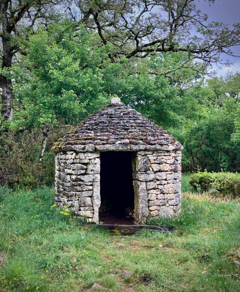
We did manage to miss the worst of an epic thunderstorm and hail in a farmers shed. Cheryl is a travel trooper and rarely complians, but the ups and downs of 10 weeks of cycle touring was weighing us both down. (I generally complain first -;) We had a train bailout option in the small town of Vinay, but arrived to just miss a train prior to a 2 hour gap in service. The days lack of progress sent me into a travel tailspin too, and let’s just say, that afternoon was one of the low points of our France sojourn.

Made it to a farmers shed just in time for the skies to open up.
The rain and hail let up a bit finally so we headed back out.
Rain booties on, trousers off. It’s a look.

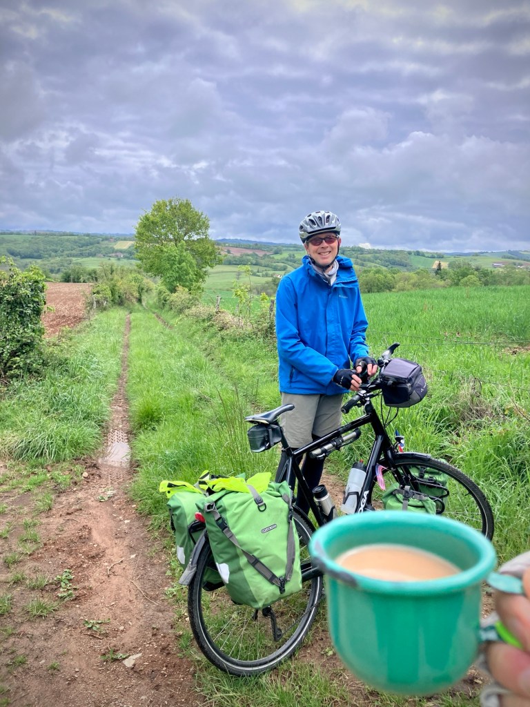
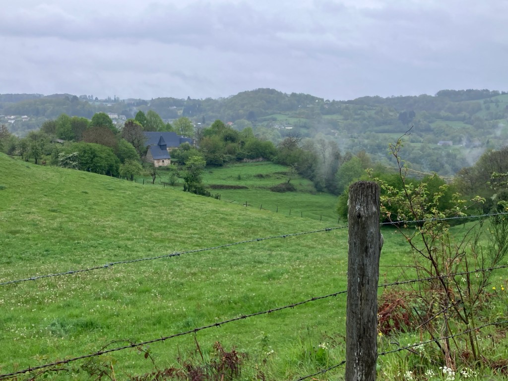
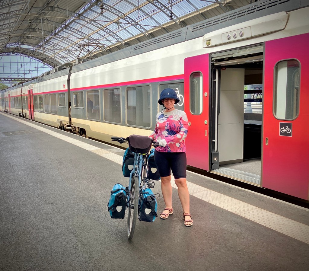
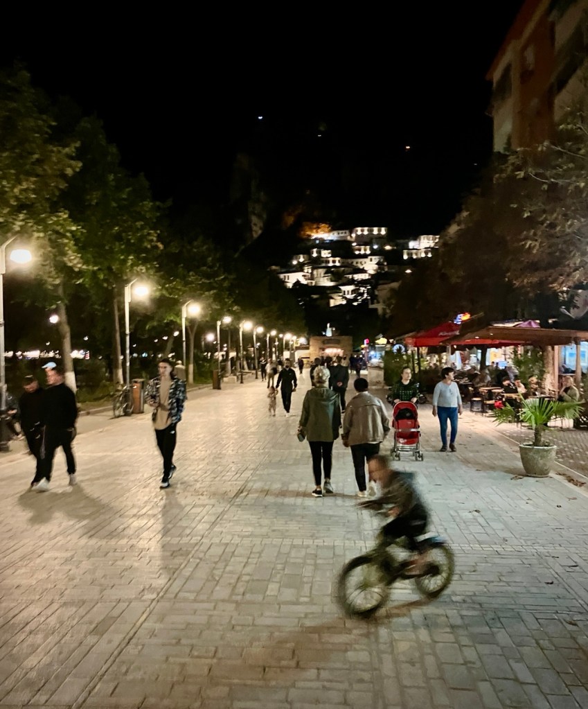
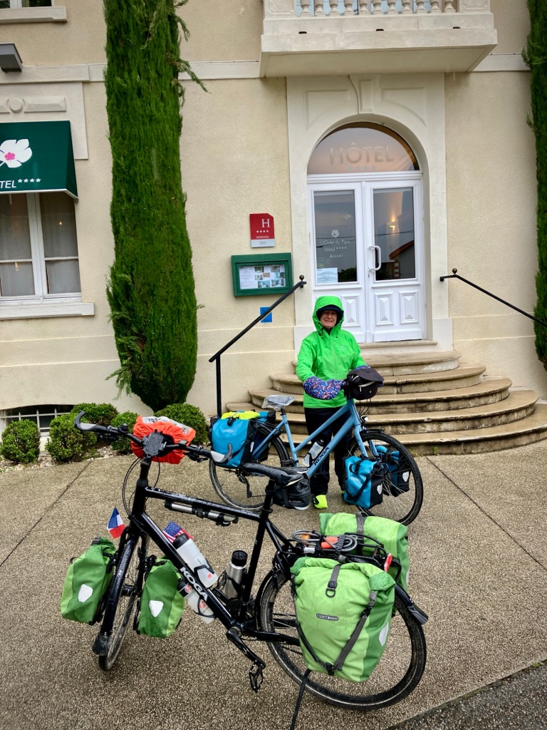
But the sun came out as we waited for our train. and the short train hop to Grenoble was fine. The city was lively and green, and the next day was beautiful. Travel and cycle touring can propel you on a rollercoaster of emotions, but that is why we continue on. The next day IS generally better -:) .

Grenoble was home to the 1968 Winter Olympics and now 700,000 people live in its region, making it the biggest metro region in the Alps.
Nope, not a cute animal, but the 2024 Paris Olympic mascot takes the shape and form of a Phrygian cap; a symbol of freedom and revolution! Love the theme and inclusion of a Paralympic prosthetic leg.
There was a surprising abundance of street art and murals in Grenoble.
Hey, Grenoble is cool!
Love the green tram tracks (but not all the rain).
Next level cargo bikes in a seriously green city.
Trams and bikes, what’s not to love?!
The cranky travelers recovering in Grenoble and ready to explore another day.

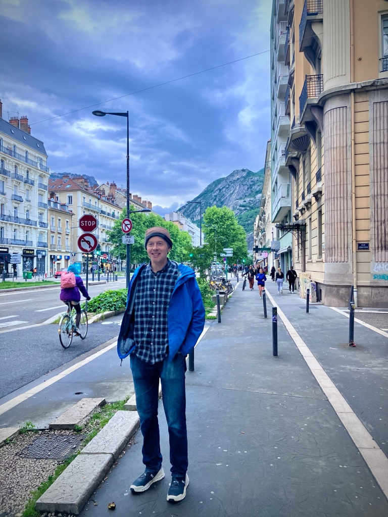
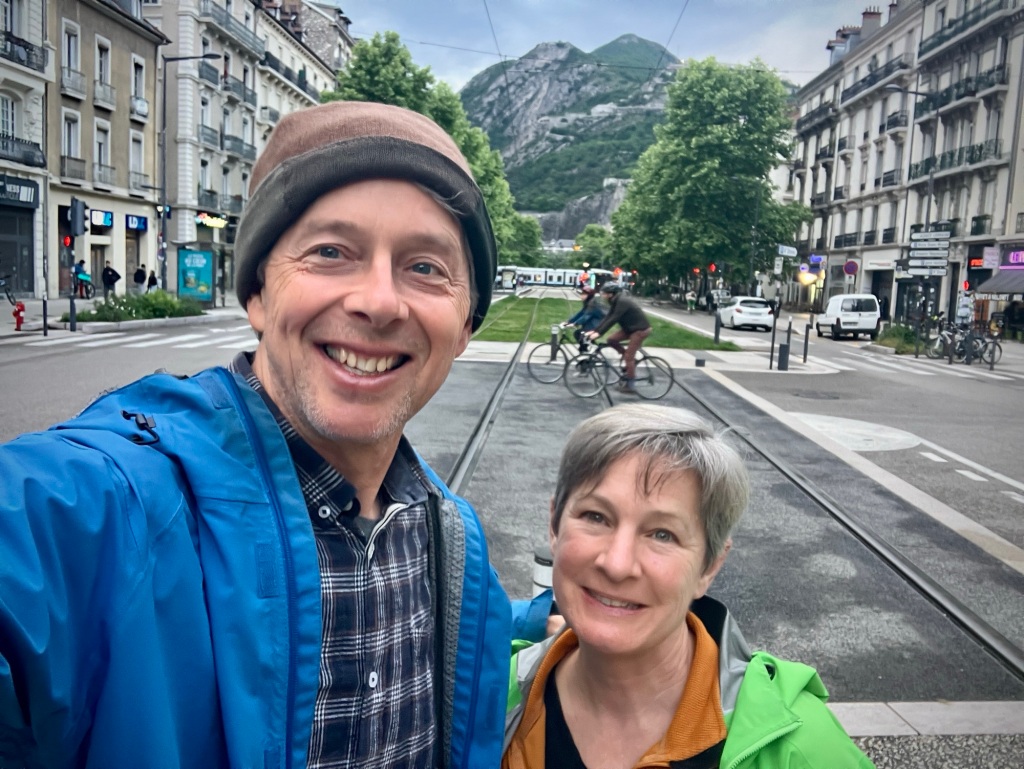
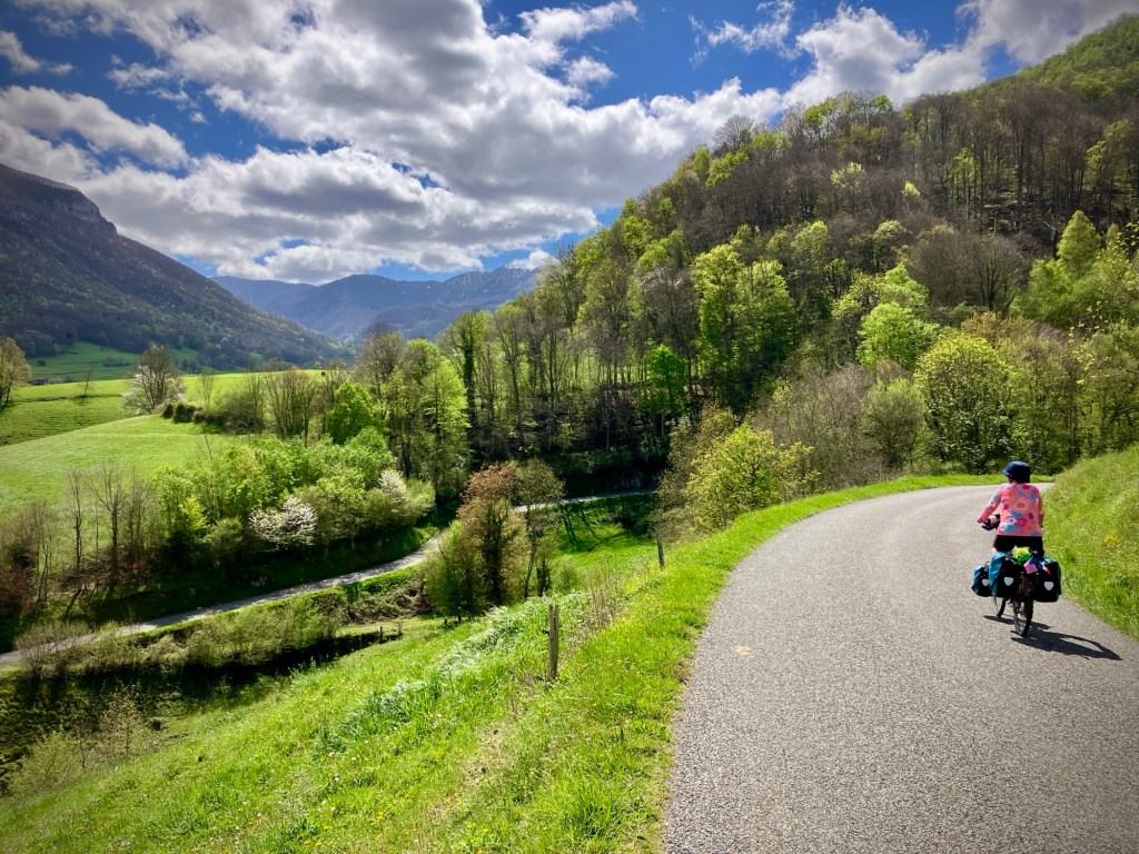
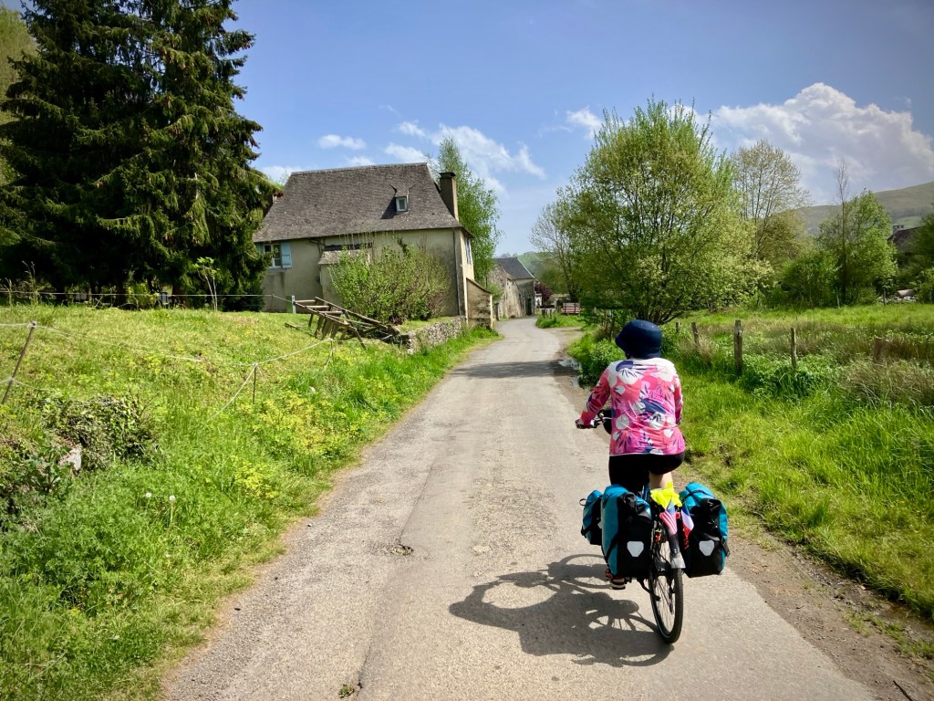
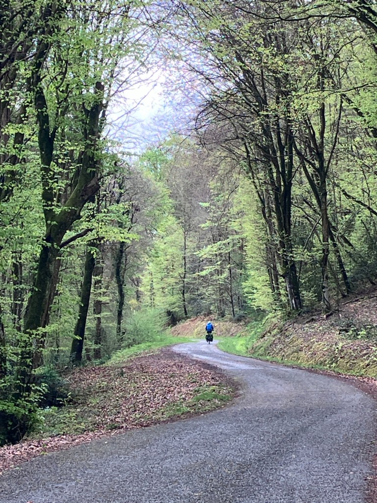
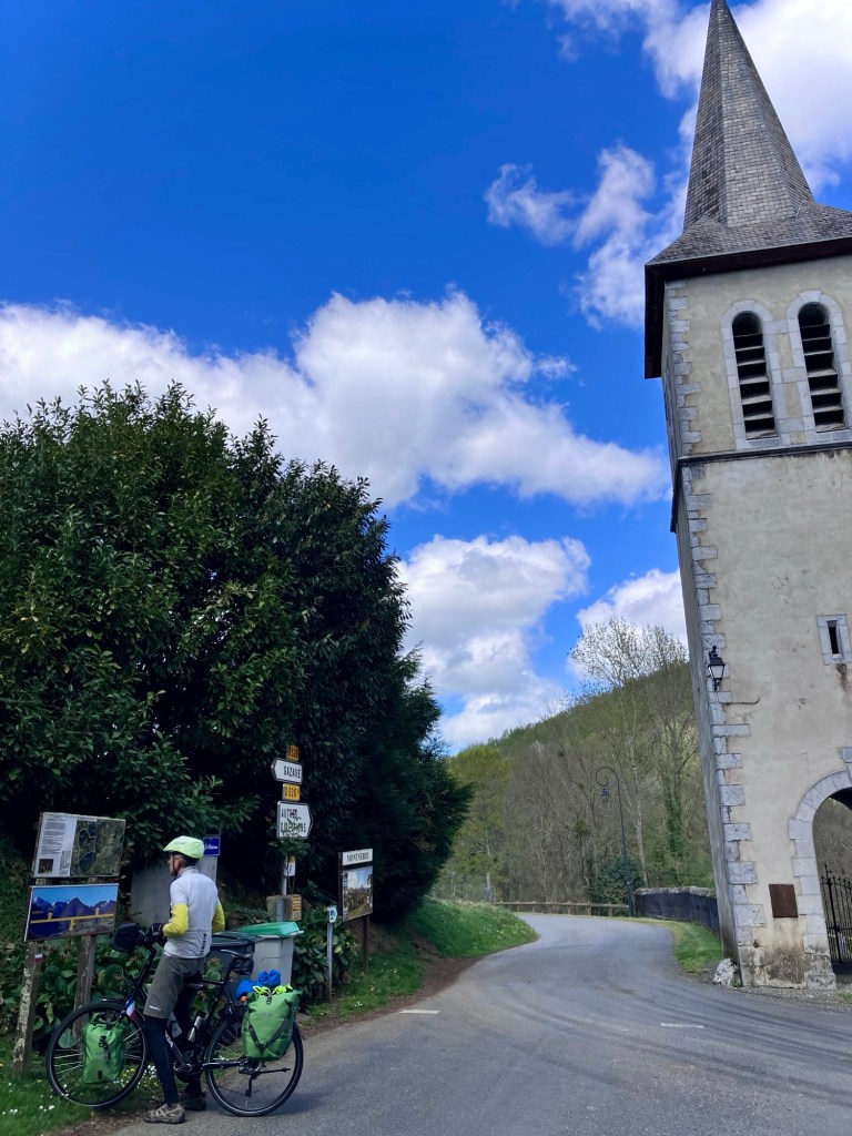
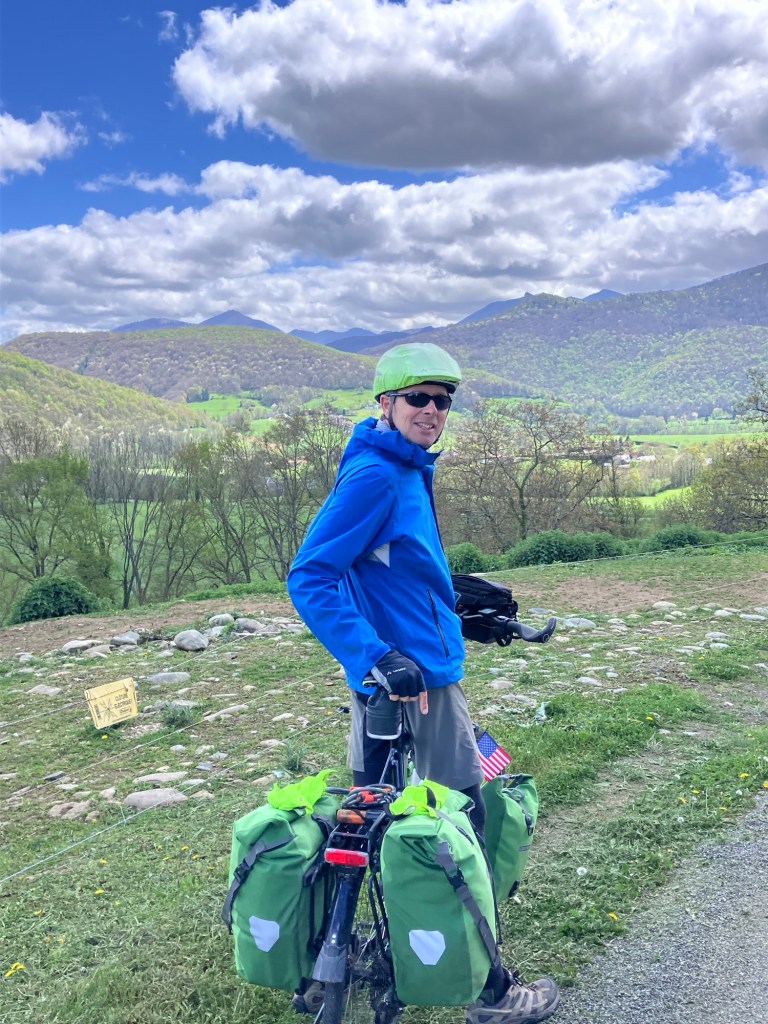
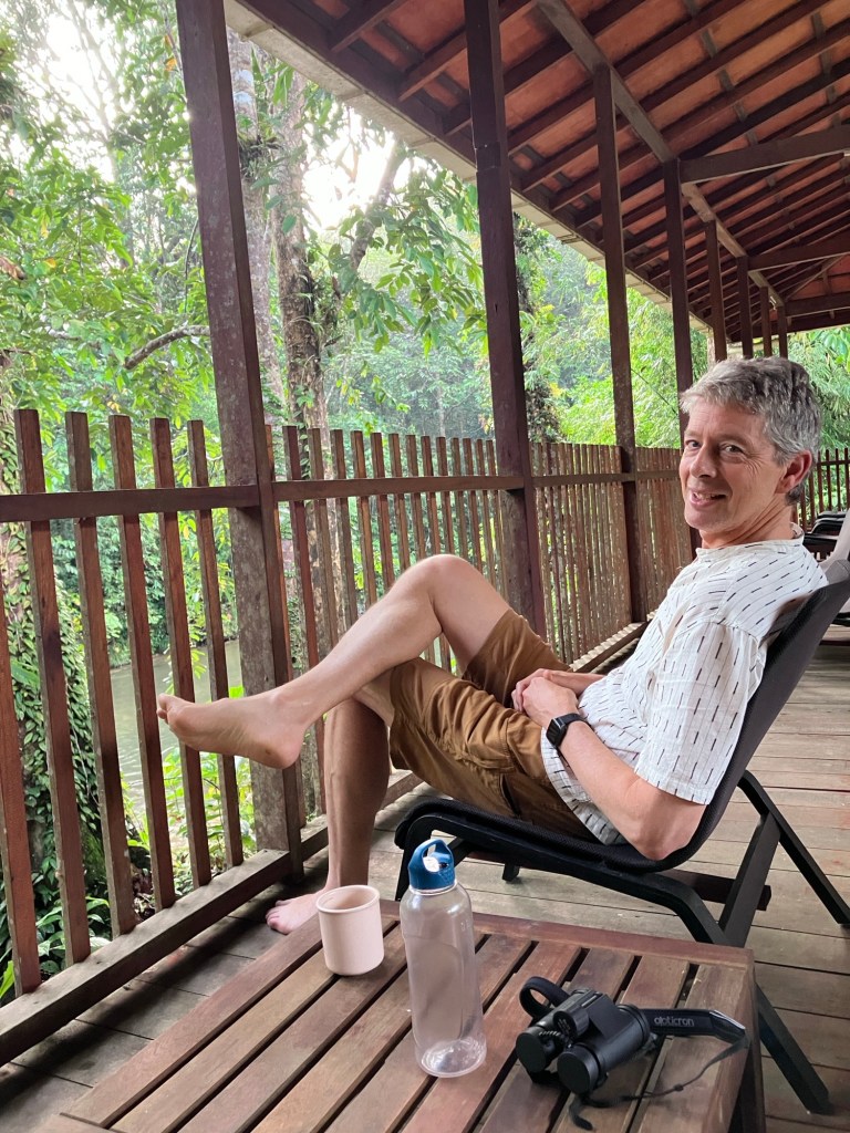
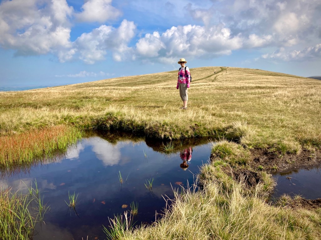
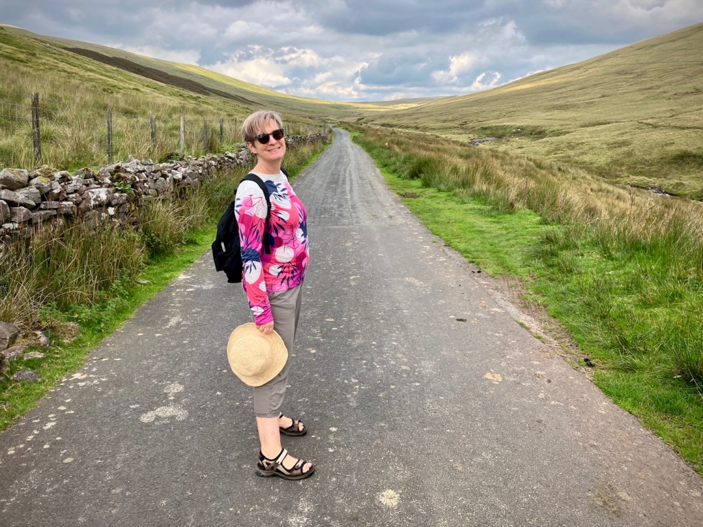
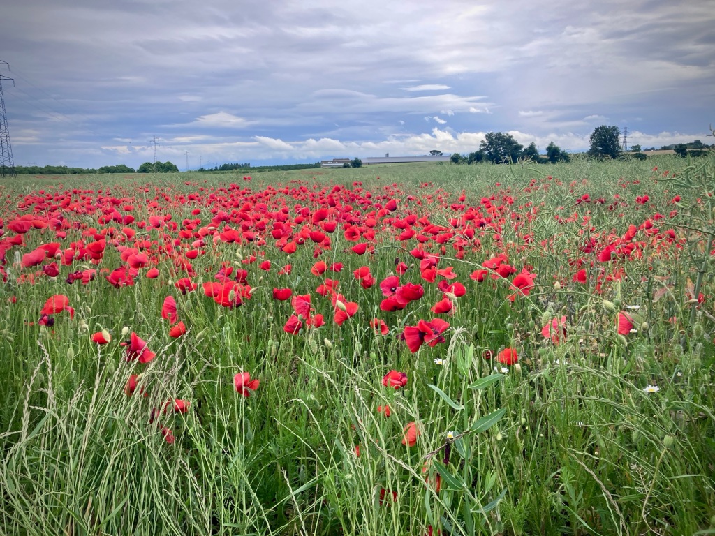
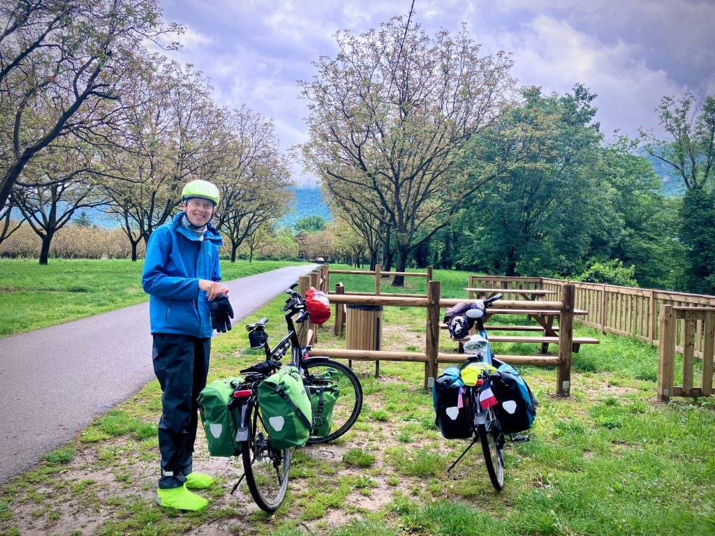
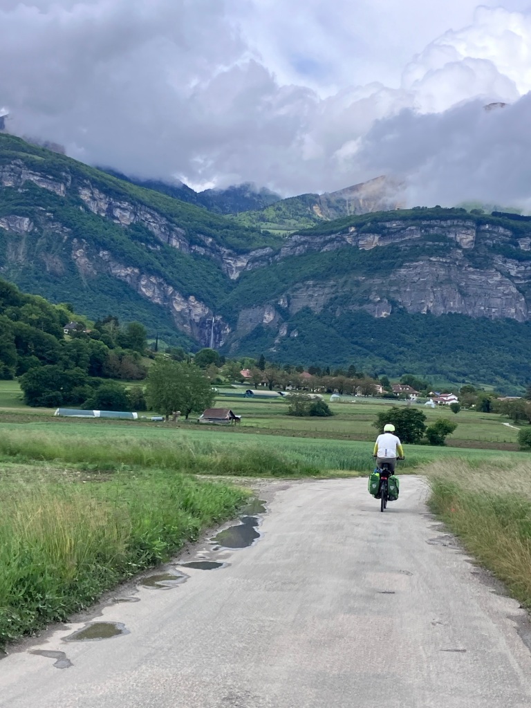
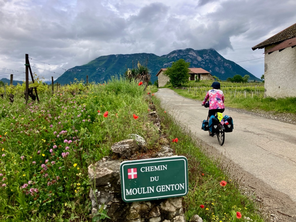
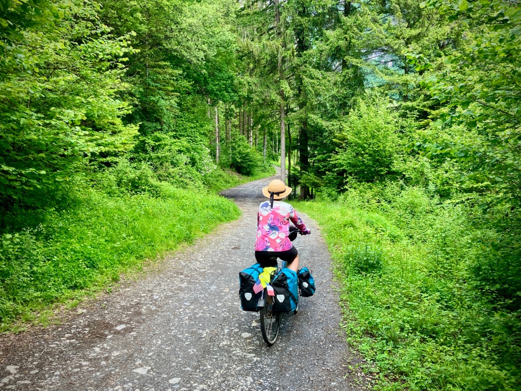
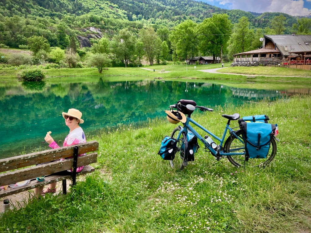
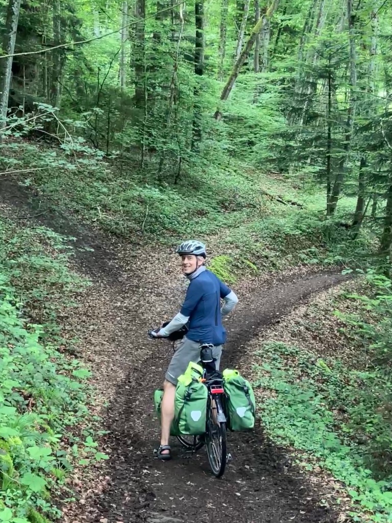
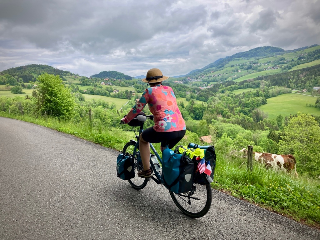
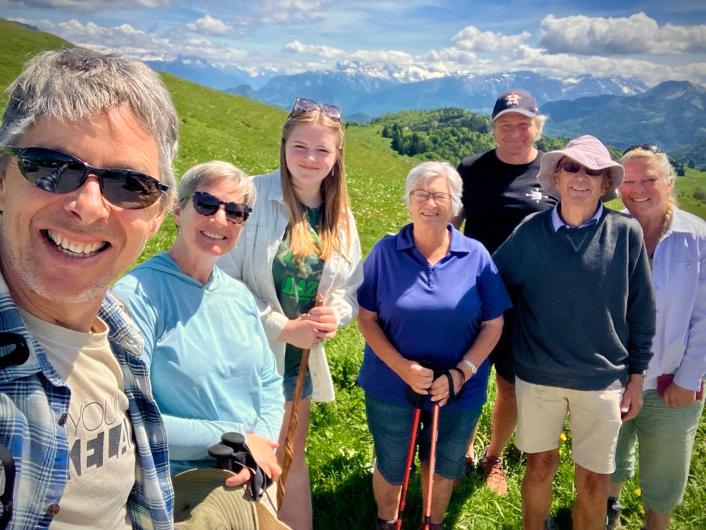
We loved Grenoble but only stayed a night as hotels were unusually expensive due to a conference. We vowed to come back and explore more there soon as it’s nearby the Vallée Verte and has a lot of top museums, not to mention outdoor adventure in every direction. The next two days cycling further up the valley were inspiring and relatively short, so allowed for plenty of time to stop at sights, take photos, and bask in our positive attitude!

The ride out of Grenoble was flat but pleasant along the Isère River and valley.
But soon heads up some small hills into the Coeur de Savoie.
The Savoie wine production region near Chingin.
Cheryl heading to the wine!
Views and history at Chateau LaViolette, a very friendly and lovingly restored B&B in the Porte-de-Savoie. This magnificent cypress tree was over 200 years old.
Views from LaViolette of vineyards famous for Mondeuse Noir and Jacquere. The infamous land sliding Mt Granier is obscured by clouds.
Our next day was greeted by spectacularly blue skies cycling the D201 road to Albertville. We passed on the steep climb to the historic Château de Miolans.
A wonderful day rolling through the tidy and historic villages of the Savoie.
Usually there is a great water source in these mountains…just need to make sure you see the “Eau Potable” sign.
The D201 road rolls up and down along the edge of the valley towards Albertville and is a great alternative to the flat V62 route in the bottom of the valley.

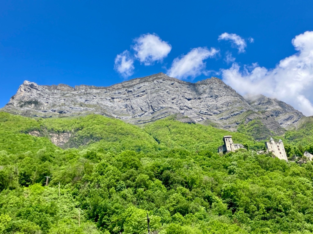
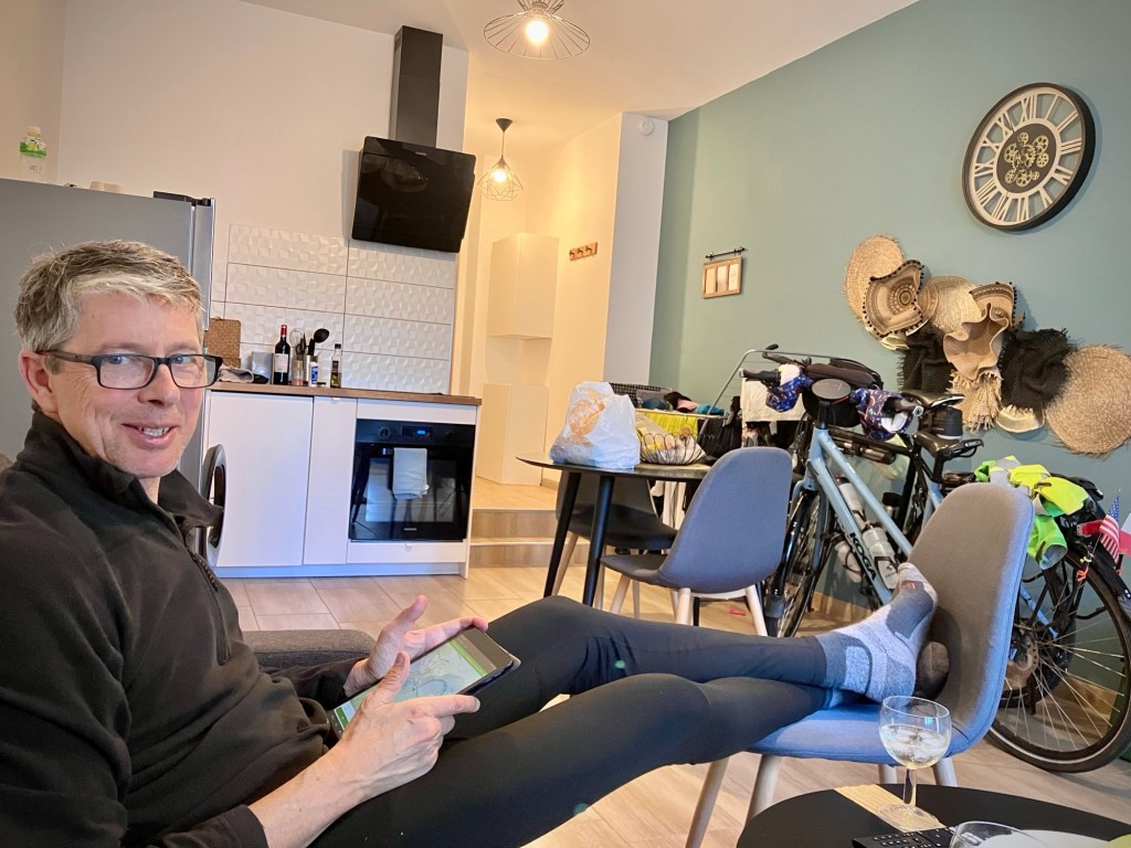
We found a nice little apartment in Albertville to spend the first two nights of the long Corpus Christi holiday weekend, as Albertville is actually not much of a tourist town, despite hosting the 1992 Winter Olympics. It’s pleasant enough and was a good place to relax, do laundry, and explore a bit, but otherwise would recommend other places in the Alps for scenery and charm. It has the old Olympic park and a small medieval town, Conflans, on an adjacent bluff. We realized all the charming Olympic shots you saw in 1992 were probably of Conflans, not Albertville per se.

Our cozy apartment in Albertville had convenient balcony drying
The medieval village of Conflans is just a short walk up the hill from downtown Albertville. We really enjoyed learning more about life and history of the Savoie at the small museum.
Spring fragrance in Conflans.
La Bicyclette in Albertville is a great bike themed bar with craft beers, a very pleasant garden, and of course, wine -:) .
Heading out of Albertville for a short day to Annecy. How can we make this longer and more fun?
Taking the rolling side gravel and dirt paths instead of the paved cycle path.
Happy to snag a lunch bench on this busy holiday weekend.
Another side excursion to get some views and hills.
Oops, too much hill and wicked steep in parts! A bike push assist.
Yup, the trail goes through this farmhouse. We’ve learned that France is quite liberal with protecting historic rights-of-way and unless there is a clear Privé sign, we press on.
Cheryl enjoying the side excursion downhill.
Fun descent in a bit of mud. First one to fall down buys the wine!

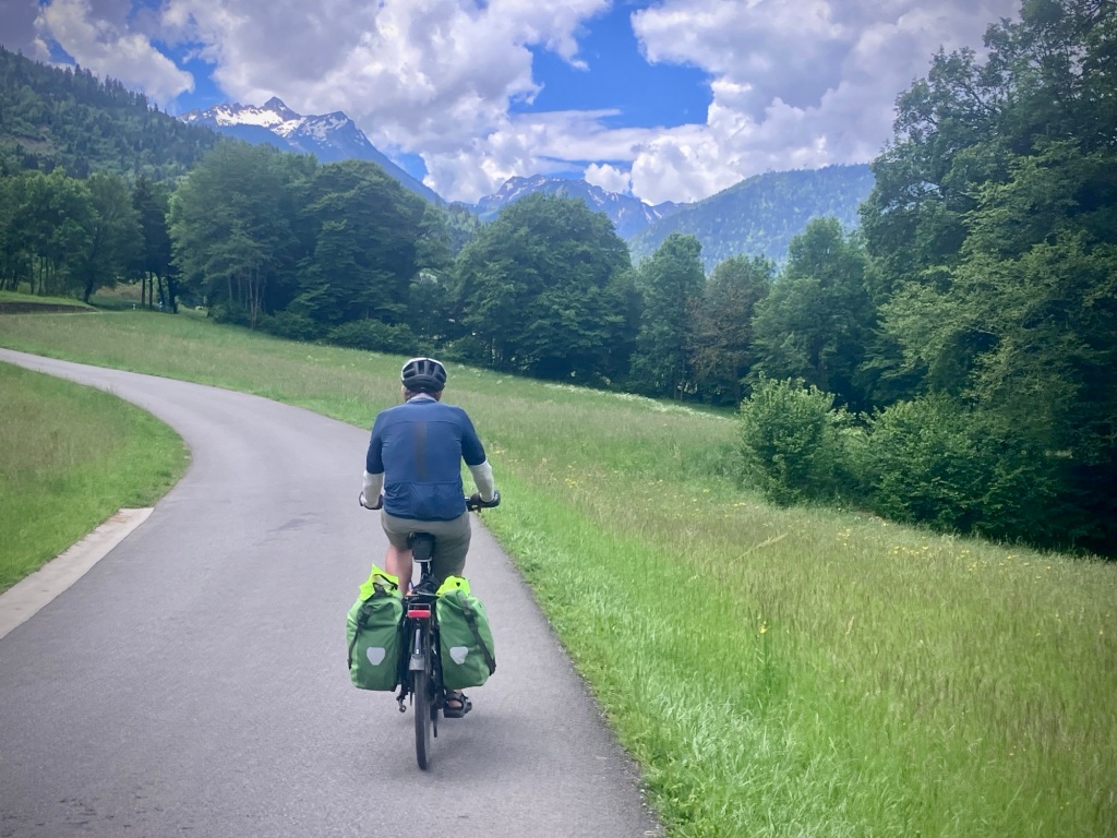
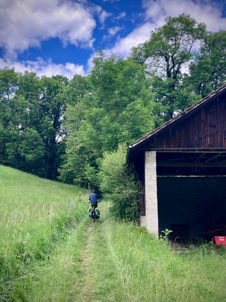
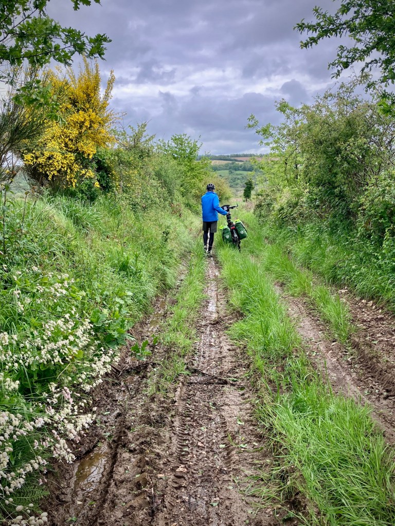
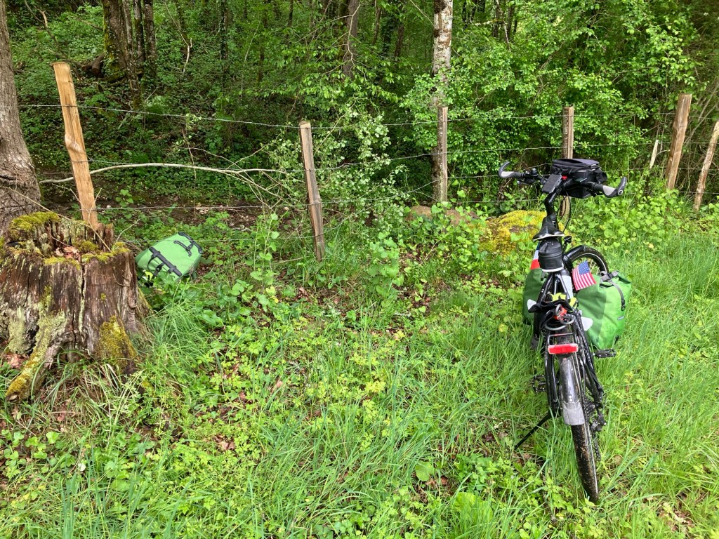
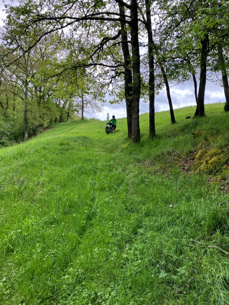
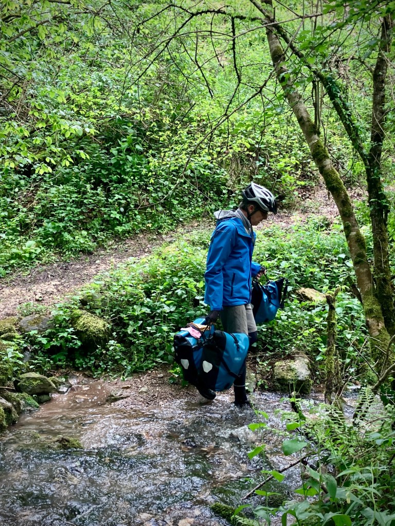
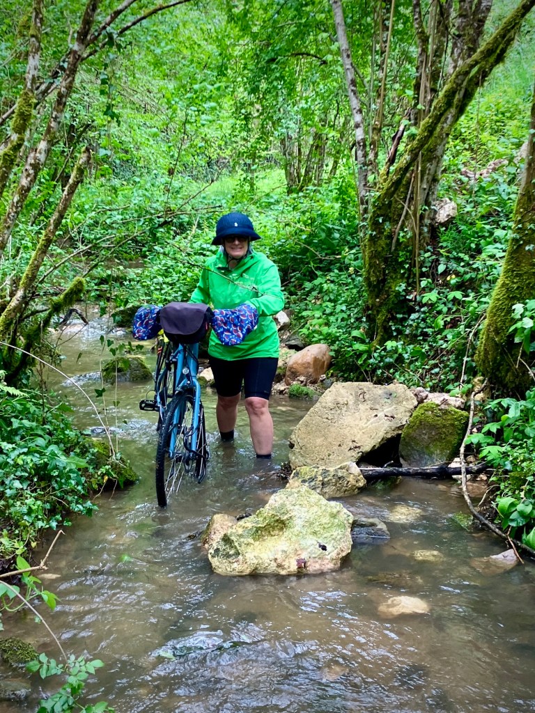
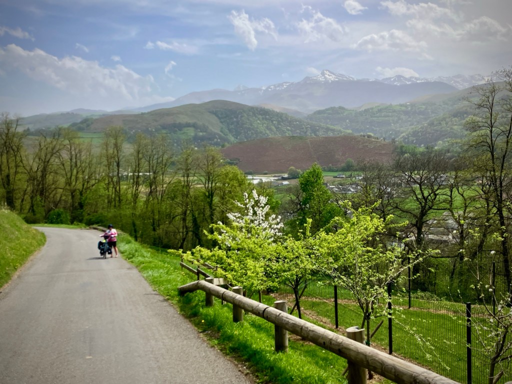
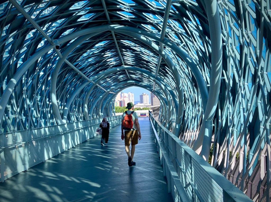
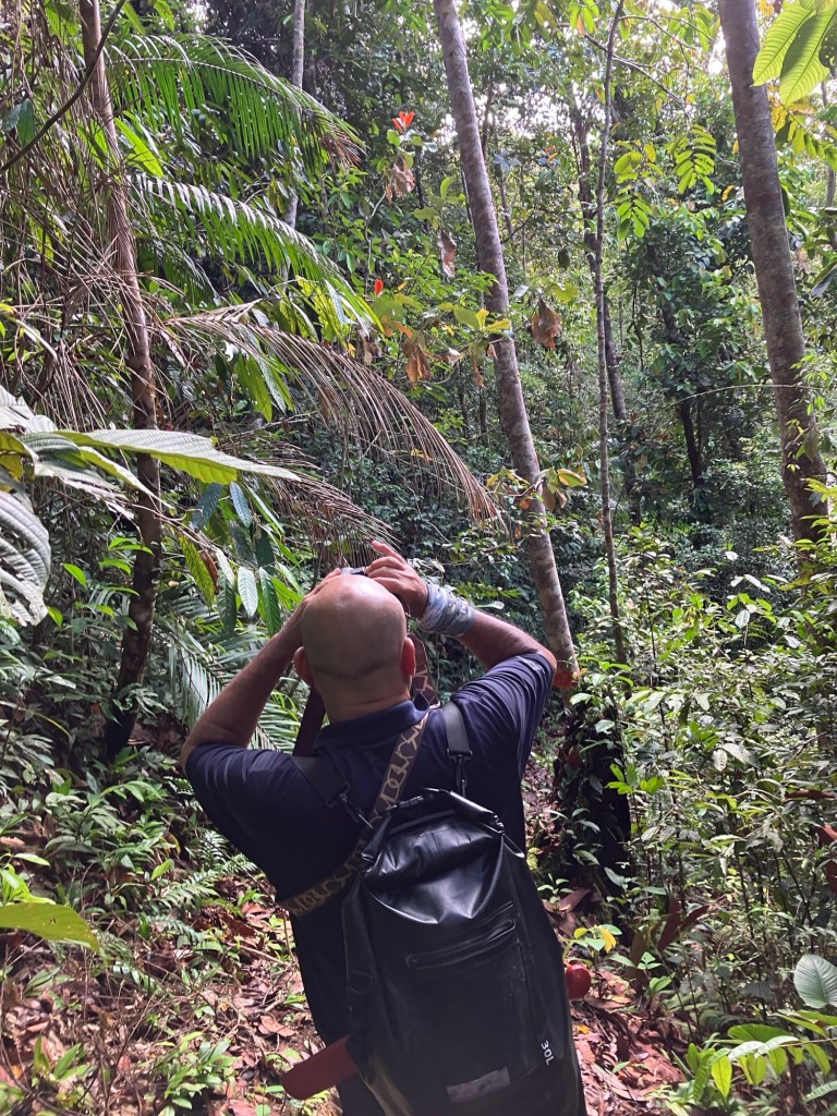
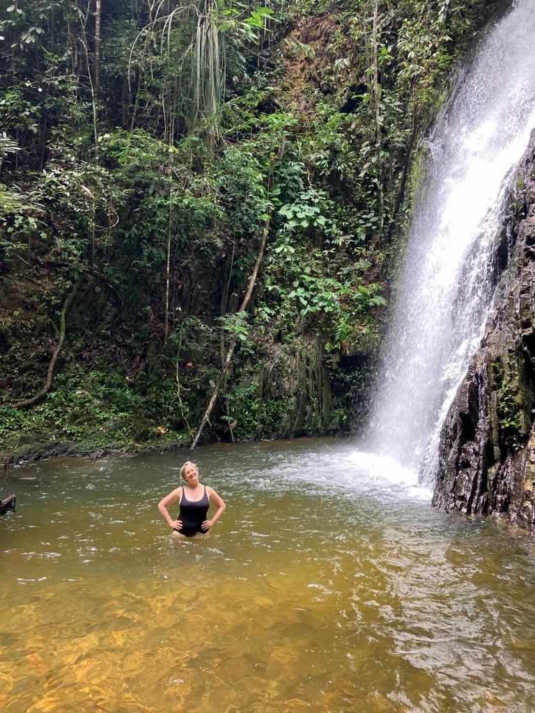
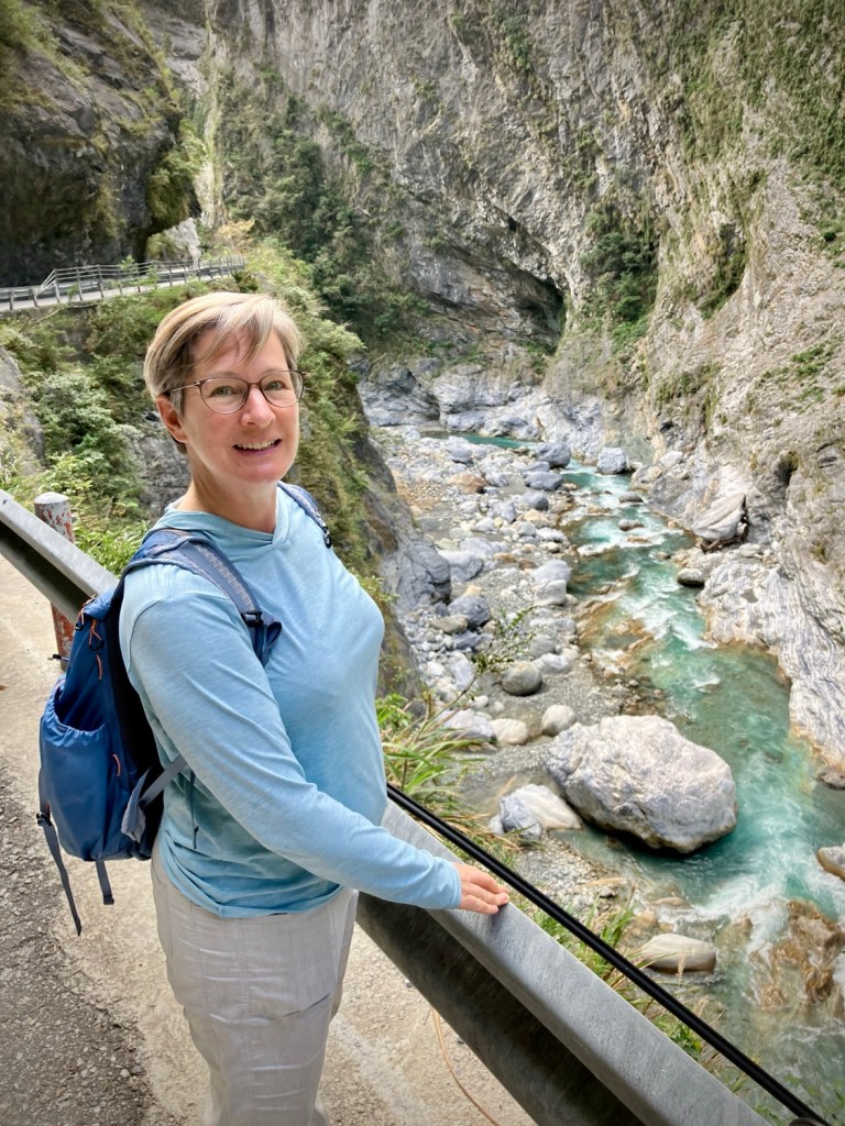
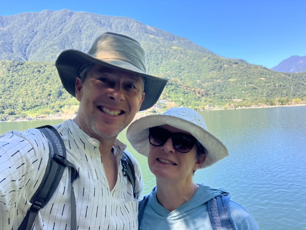
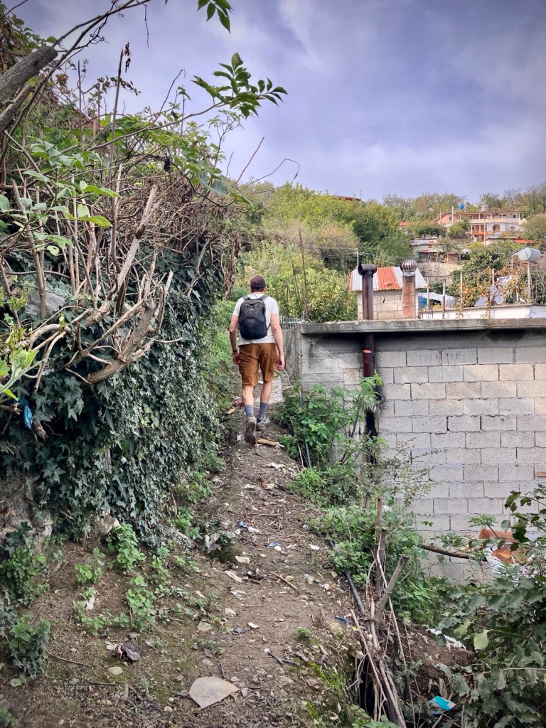
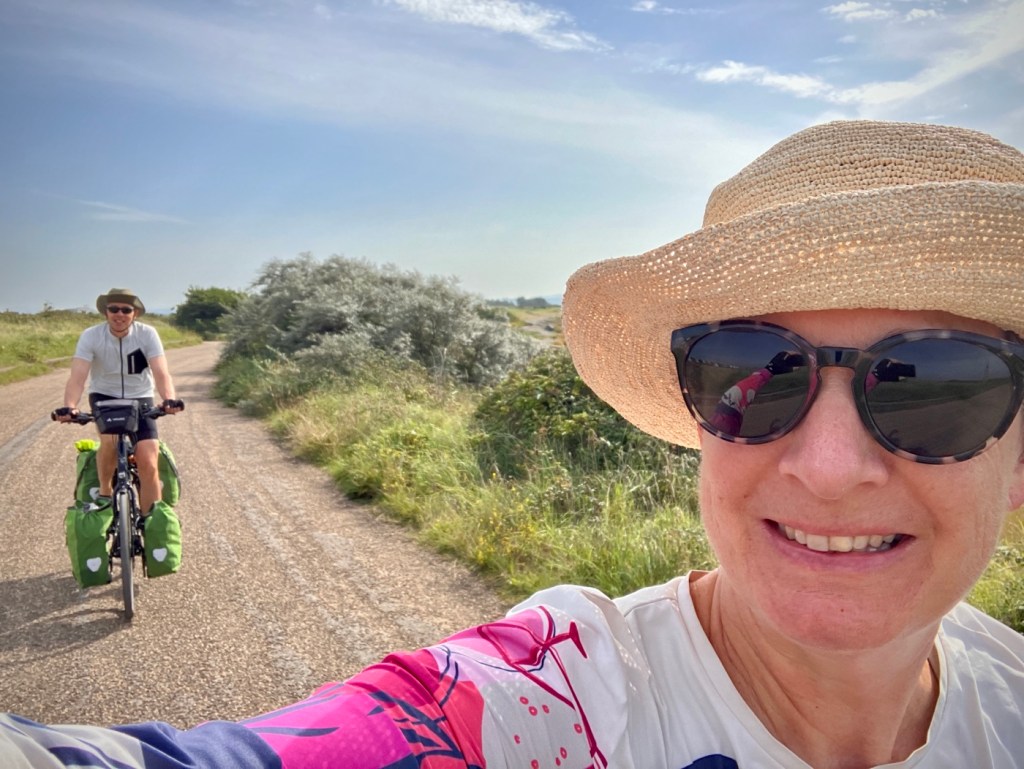
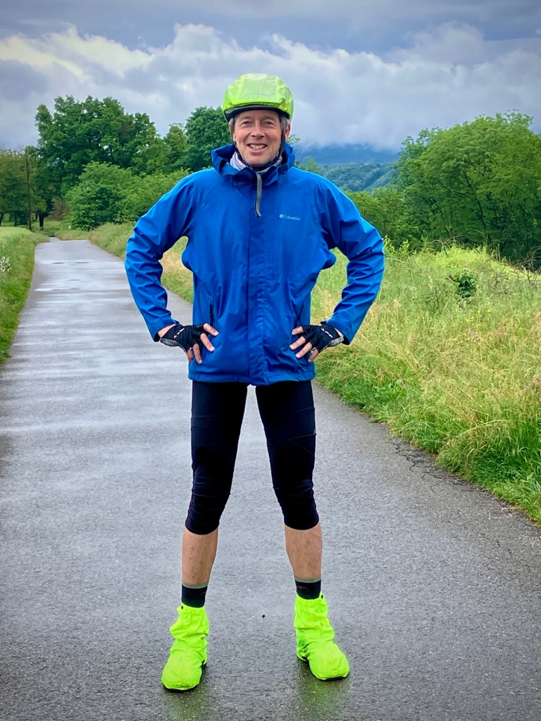
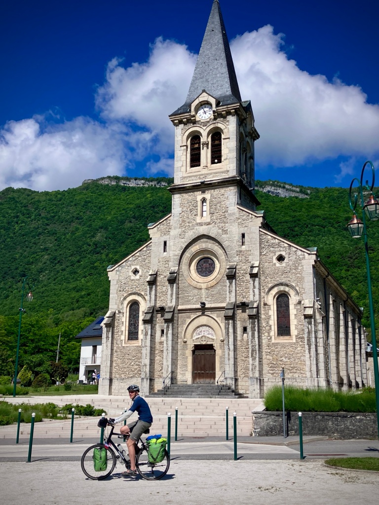
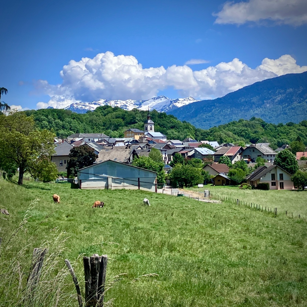
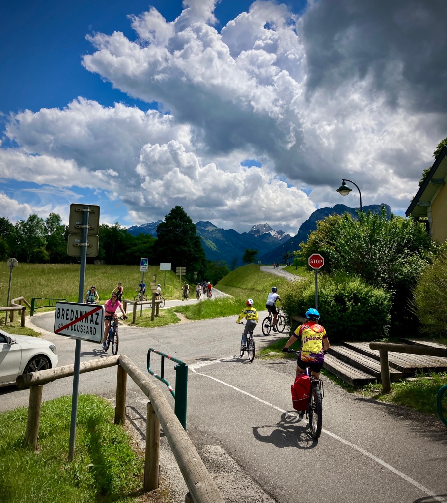
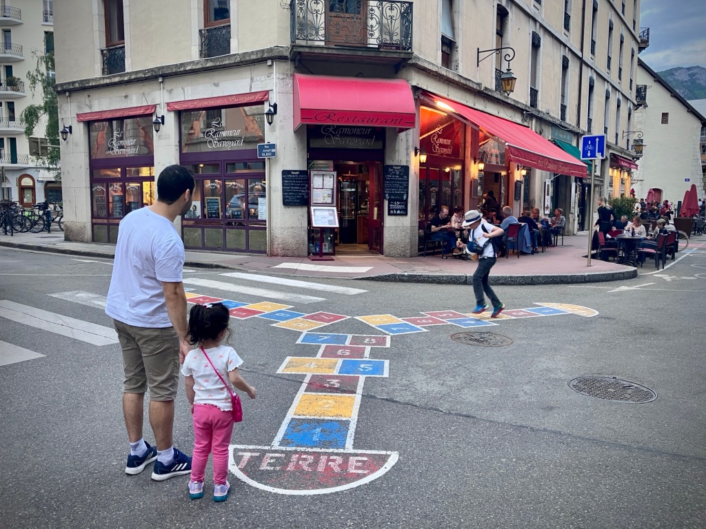
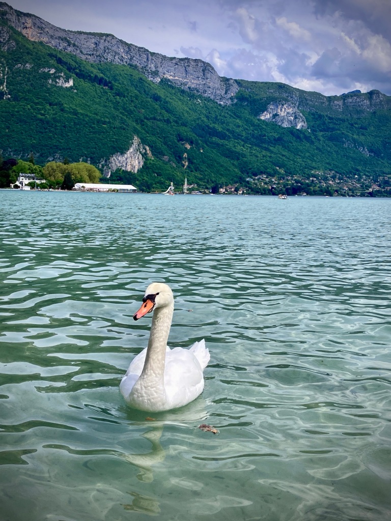
After Albertville, we had an easy day to Annecy planned, but I did my best to make it a bit more challenging as we couldn’t get into our apartment there until 5:30. But the weather was spectacular and the route a joy, minus a few rough patches off road. We got to the south end of Lake Annecy just after lunch, where our route joined the 40km lake loop. It seemed that most of France was outside that day as the weather was finally warm. We merged into the pathway mix of fast and slow, families and dogs, and racers kitted out still thinking they might achieve their personal Strava best weaving around thousands of people. It was fun and the scene was memorable as we got closer to the center of Annecy.

You can circle Lake Annecy on cycle routes which is a very popular day trip.
The lake path was full on France the Sunday of a long holiday weekend (Corpus Christi).
We were waiting for a mishap in the Sunday spring fever and lakeside chaos, but it all seemed to work out.
So this is what cycle touring in warm weather is like! We felt the joy of everyone as well, since we’d been experiencing the same wet and cold spring across France.
Chillin in the lake on the hottest day of our spring trip.
Postcard shot, Annecy.
Annecy’s lakefront has the historic aire of a long visited and cherished place for relaxation.
The enchanting crystal waters of Le Thiou, a short river that flows out of Lake Annecy and is one of the clearest in the world. It eventually flows into the Fier and Rhône.

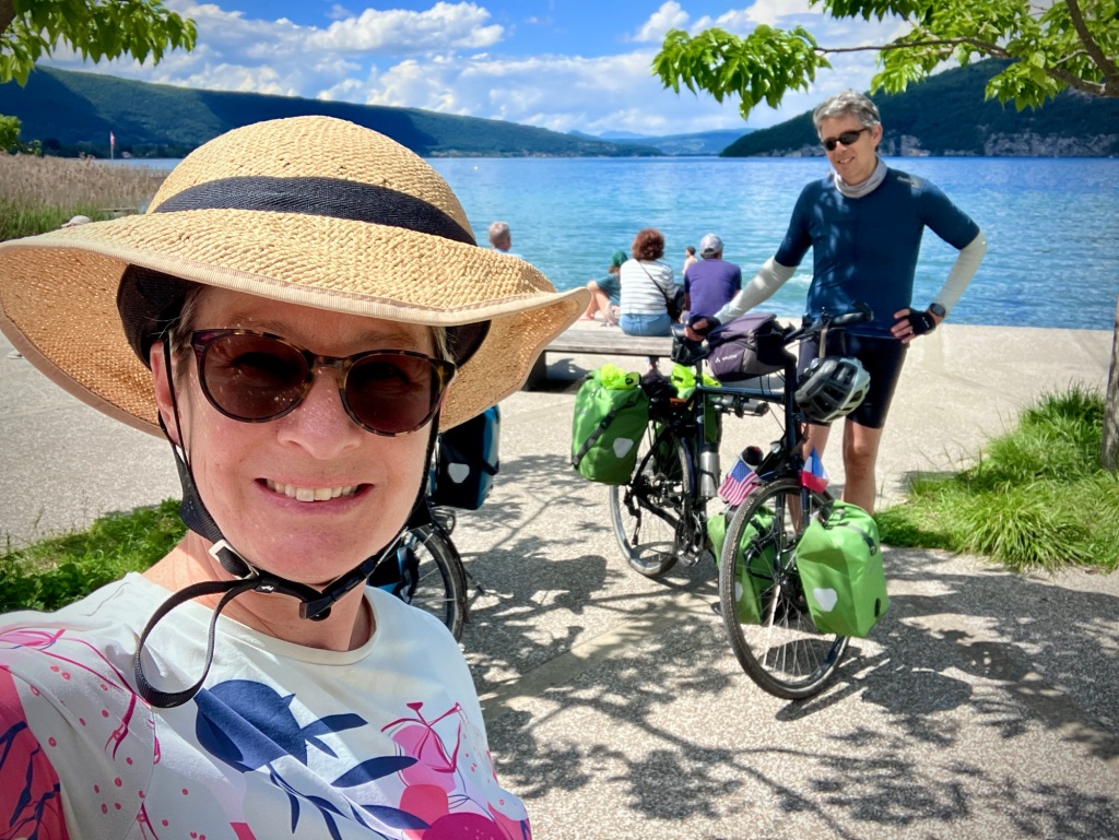
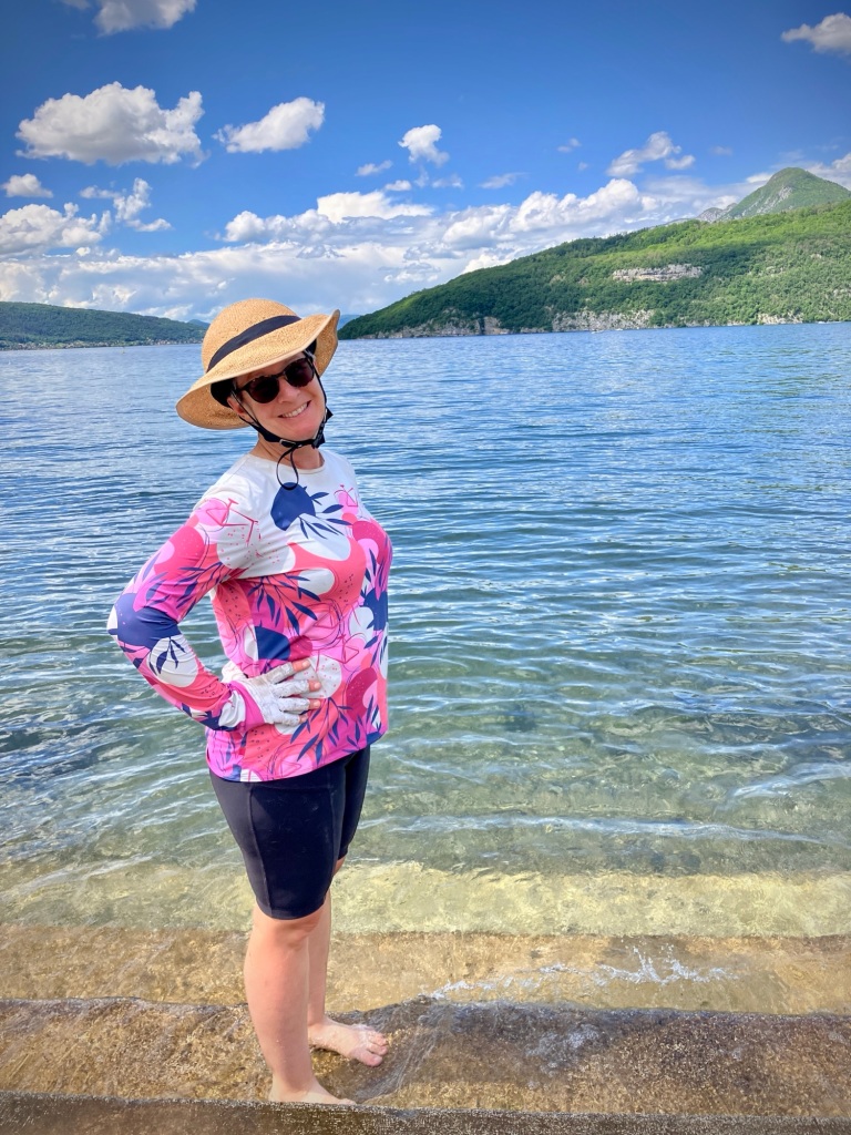
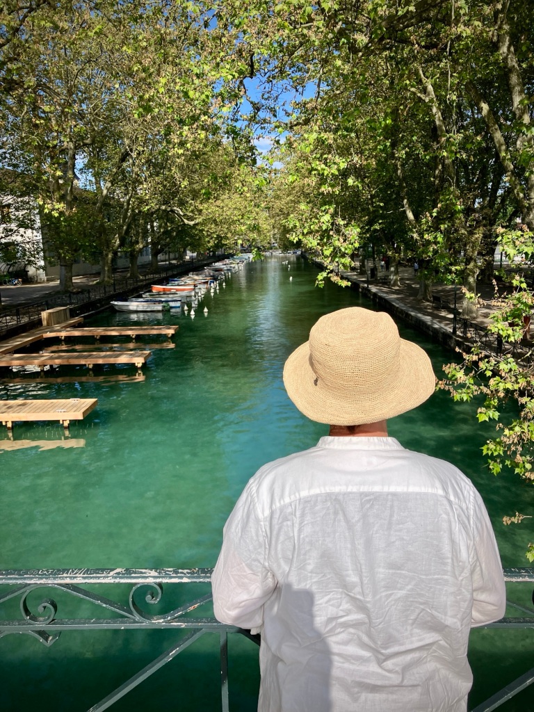
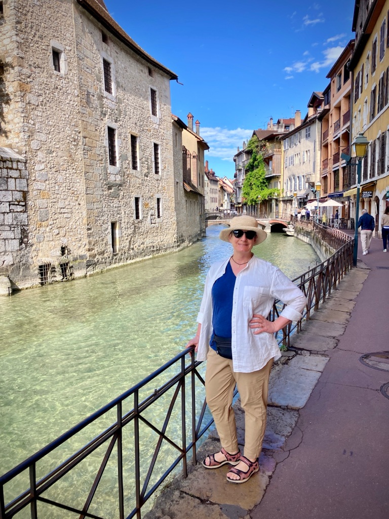
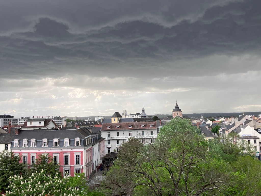
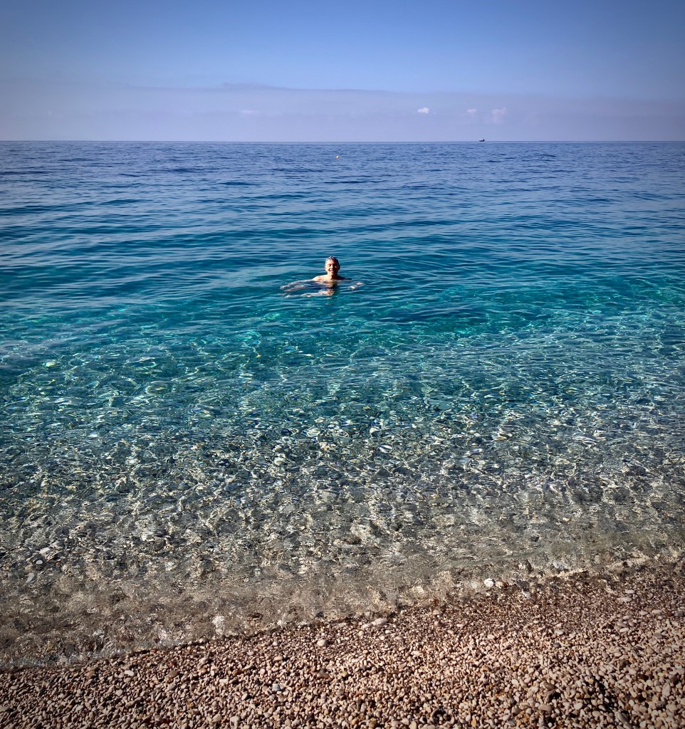
Annecy is a lovely French city with a great density, beautiful lake front, summer swimming, boating, and strolling. It benefits from easy access by train including daily direct TGVs to Paris. For our California friends…imagine a 2 hour train from San Francisco to North Lake Tahoe. We can only dream.

New play space for people as Annecy had recently expanded the car free core.
Bollard access again keeps the lakeside traffic out of old town core.
The lake and mountains are omnipresent.
We stayed another night in Annecy after the holiday rush to enjoy a more tranquil experience and more swimming!
Beers with friendly British cycle tourists we met on the path. Greetings Clive and Alan!
Swimming with the swans.
Big hair on Lake Annecy.

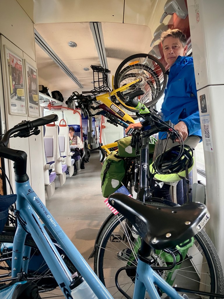
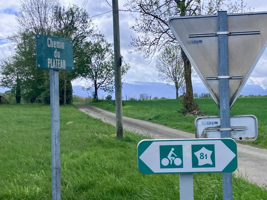
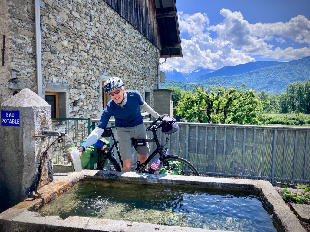
Our final route from Annecy to the Vallée Verte included a morning train hop as the V62 route is sadly incomplete and we’d been warned about the road near Cruseilles. The terrain is steep and rugged north of Annecy and it would be too long to do in one day as well. So we enjoyed a scenic hop on Line 2 of the recently upgraded and completed Léman Express system centered around Geneva. The trains are modern, frequent, and bike friendly. Bike space is somewhat limited, so we imagine at peak times it could be challenging, but we had a very peaceful ride on the 10am train which starts Annecy. Note that you need to buy a Swiss bike day pass if you stay on the system into Switzerland. (we did not.) The fixed price Swiss bike day pass (regardless of distance) is not a cycle friendly solution for short hops and really should be revised by SBB.

The final day push up the Col de Perret. Cheryl climbing with little effort and record speed; a testament to our almost 3 months on the bikes
France does fresh vending like no others. This wonderful 24/7 farm shop had artisan yogurt, cheeses, eggs, and a wide variety of vegetables.
Biggest farm vending ever near Reignier. We got fresh broccoli and some yogurt. A great solution for staffing costs while still providing access to fresh foods.
Vallée Verte welcome committee
Feeding our kitchen scraps to the neighbors pig; strangely they don’t like cabbage.
Reunited with our great friends and their visiting family for a spectacular day hike in the Alps.
Happy to be back in the Vallée Verte after another successful bike tour.

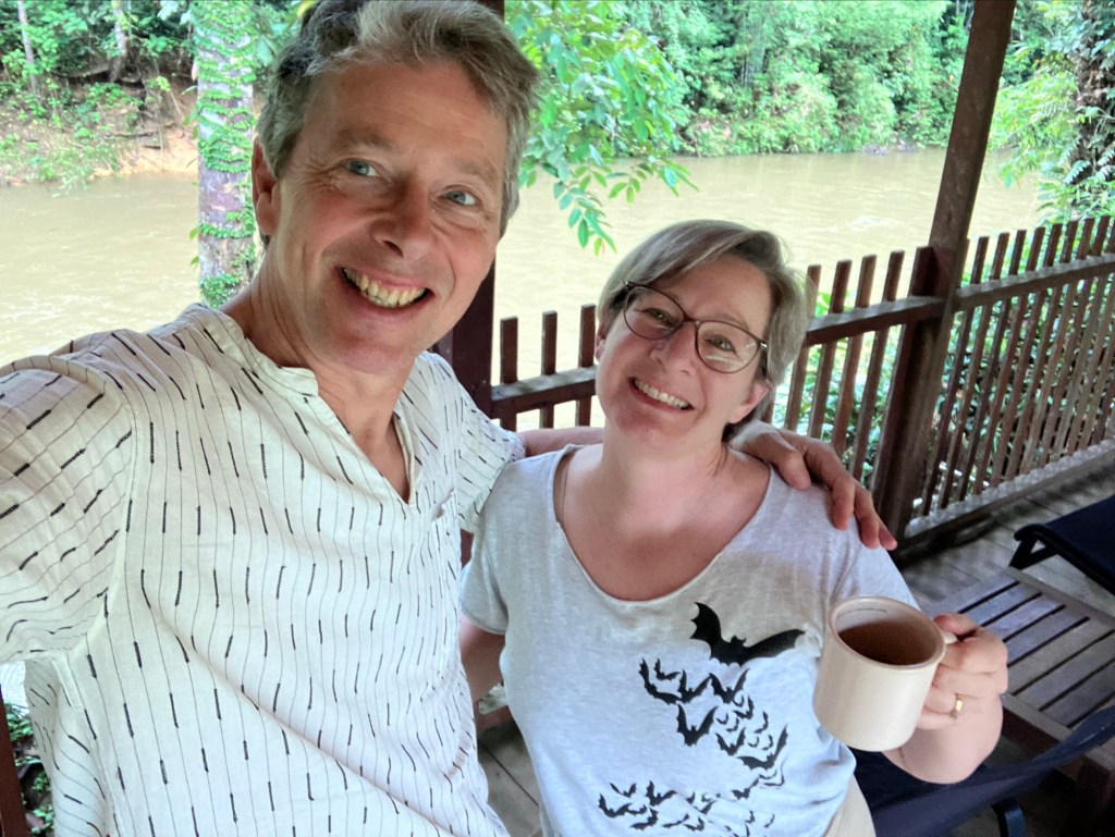
We shaved over an hour off our last time climbing up the high valley route and felt a strong sense of accomplishment as we rolled into our friend’s house again. We appreciate everyday of our freedom. Happy travels!

A few pickles between the Le Lot and Le Célé

After a nice rest day exploring Cahors, Cheryl and I continued our spring tour further up the valley of the Lot River. The middle Lot is a magical place of endless meandering and pretty villages with a variety of terrain to match.

Riding out of Cahors over the Devil’s Bridge
The Middle Lot is still navigable with occasional weirs and locks

The route out of Cahors immediately took us up a hearty 300m climb over a ridge, but the reward was a descent down to the beautiful Saint Cirq de Papopie. It’s a storybook medieval village perched on a rocky edge above the Lot. Our friend Dan had mentioned his time in this area and we thank him for the tip.

The route does not always hug the river and has some pretty decent climbs to connect the rugged and remote parts of the river
Apparently we were also on the Vagabond route…very appropriate.
Cheryl was fascinated with these mortarless stone buildings known as capitelles or cazelles, which are endemic to the region
And another one
And a wiff of wild mint for the descent

Apparently tourism exploded in the town after a popular French television shown voted it the most scenic place in France in 2012. We can’t disagree with that call. It was sparsely visited the weekday we passed through and is really a beautiful spot.

Our first view of Saint Cirq Lapopie
We couldn’t pass up this prime view spot to picnic on some yummy quiche and veggies
After lunch ussie
Sometimes I do some further exploration while Cheryl minds the bikes and maybe reads a bit. « Oh no, you go ahead »

The ride from Cahors to Cajarc spans the Parc Naturel des Causses du Quercy from west to east. The villages are extremely tidy, with some restored houses, cottages, and farm buildings. There are also nice sections along the cliff walls, and the roads are not busy. We made it to the scenic village of Cajarc and our Logis inn (with dinner!) after a rewarding day of cycling, and I began to plan our next day.

Saint Cirq feels like a movie set. Picture perfect and so tidy
What’s this? Fossils on the canyon walls?
We love interpretive fossil trails. This was a nautilus from the old sea bed.
Many piped water taps have still been off for the « season », but we found most of the hand pump and twist wells delivered.

But the weather was starting to get tough. The next day a front was coming through with winds of 25mph and gusts to 50, and if we headed up the Lot route it would be right into the headwind. Yuck. We could shorten the day to account for the wind, but instead decided to head over the big limestone ridge to the next valley of the river Célé and the small city of Figeac.

Another interesting Komoot trail choice from our grocery diversion out of Carjac. But one of our mottos is “never
go backwards!”. It usually works out.
Le Célé River.
Inside the ruins of the Abbey Saint Pierre, parts of which date back to the 9th-11th centuries.
The ruins are atmospheric and the adjoining church has been restored and is still active.
Carved stonework of the abbey.

I had picked a fairly direct route using my goto navigation App Komoot, and mentioned this to the friendly hotel host as I checked out. Good thing as he suggested an alternate route that turned out to be a gem. More climbing and longer, but it would take us deep into the scenic Célé river valley and keep us in the park longer.

The climb was quiet and the aspect of the huge limestone gorge that defines the Cele valley protected us from a lot of the wind, or at least made the ride alternate between headwind and freakish tailwinds off the canyon walls. But you can’t escape gale winds and the last 10k into Figeac were exposed and a bit hellacious, with grit blowing in our eyes and branches falling from trees. But we made it to town before the rain started to dump and salvaged a memorable day from a potentially mundane slog.

A power picnic lunch in Marchihac-sur-Célé. PB and banana on Wassa crisps
Cheryl demonstrating how to spread the peanut butter with the back of the wooden spoon, so it’s easier to clean -:)
We are always impressed with the French dedication to a proper and social lunch. Despite the increasing cold and winds, we watched behind us as they set up tables and laid out a spread of food.

Figeac is a pleasant river town with enough of a buzz on Saturday night for us to get rejected at our first Creperie restaurant pick, so we settled on a fast and casual burger place and a beer before we had a meltdown. We were very hungry and a worn out from the wind.

Canyon walls for wind protection, yeah!
House built into canyon walls.
Onwards along the Célé.
A 3 star village is always worth a stop.
Riding through the old town gate to find our second break stop.
Et voilà, a sheltered picnic spot.
This route is along one of the French Camino routes and we were surprised by the number of pilgrims/walkers we saw in this region. Almost no other cycle tourists.
Another restored mill house.
And accompanying millstone. Our friend Nancy says you can tell what kind of grain was processed by the groove pattern.
Getting closer to Figeac, and the wind picking up.
Wind filtered Wisteria pedals in old town Figeac.
Hotel view of the Célé in Figeac.

We wanted to get back to the Lot valley, so that meant going back up over the plateau of the river canyons on Sunday morning. But we are pretty strong now and Cheryl powered up over the two fairly steep climbs. Here’s the thing with loaded touring bikes, they are actually surprising easy on flats a gentle grades, even carrying 20 kilos or more. A 4 or 5% grade is pretty sustainable for longer climbs, but each percentage increase after that really makes a difference. Physics, gravity, and vectors. Over 8-10% and you may need to start serpentine S tracks across the road to keep on the saddle for a longer climb. You can even stay in the bike for short bursts of 12-15% grade, but it’s tough to sustain.

Heading out of Figeac along the Célé.
This climb indicates an average grade of 7%, fairly manageable.

Touring bikes are so much more sensitive to headwind and grade than a lightweight road or mountain bike. They fly downhills with the extra weight and often act as sails with a hefty tailwind. As we continued to push up some of the steeper hills, you can’t help but think about the extra junk in your bags; the two kryptonite locks, cable, tools, 4 spare tubes (really?), ground coffee, binoculars, a small backpack, a yoga mat…extra socks and shirts, and my biggest luxury, 3 pairs of footwear. The thing is we are living on our bikes for three months and really appreciate the extra gear at times and when we are off the bikes for house sits or city stays. So we press on with twice as much weight as we could manage for a short tour.

Goodbye Figeac. Very green and lush in this wet European spring.
Banana recharge, a reliable favorite.
A horse intrigued by the two bright things on wheels.
This is a popular hiking area with its limestone cliffs and jagged valleys.
And pilgrims are sometimes sharing the road with us.
Initial hazards of our descent back to the Lot.

Once over the climb we followed a Komoot route that took us down the side of a mountain on a rutted farm track that turned into a rocky debris blocked ravine and creek bed with steep edges. It turned a “10 minutes flying down to the river for our coffee/tea break” into an epic reconnaissance and stream forge that ranks up as our most memorable.

Hmm, Komoot is routing us down this muddy farm track. Better have some tea now as we discuss options.
It looks like only a kilometer or so down to the valley bottom and a paved road, and the alternative was way back and up, so we decide to go for it.
Hmm, the gps trail drops left down a rutted gorge blocked by tree so we decide to try to the farm field.
After a reconnaissance mission to the creek gorge on foot, we found a spot where we could maneuver the barb wire and get the bikes and gear underneath.
Cheryl followed determined not to turn back!
A muddy mess.
Resigned to walking the gear down the creek to a spot we could get up the embankment. That trail you see was blocked by a large tree fall and landslide.
Yup, the water is cold.
Worst Komoot routing ever!
Out of this pickle. A sense of accomplishment and amazingly no torn gear or flat tires as the area was littered with thorns and briars.

So we wiped off our bags and bikes, changed into our sandals, and put our soaked shoes and socks on our racks. Luckily, we were cheered up quickly as the remaining 35km up the Lot to Entraygues-sur-Truyère was peaceful and scenic. Our room for the night in Entraygues was up a big steep hill from town, which meant a bit of pushing. But the kind host was waiting for us at the door and offered to dry our shoes by the fireplace and gave us some fresh juice and cake. We would survive. And better yet, one proper restaurant in town was indeed open Sunday night, so that meant a bit of wine to warm us up.

Back on the Lot!
Riding up the Upper Lot, wet shoes getting some air on the rack
Sant Partèm is the Occitan name for Saint Parthem. Occitan is still spoken in southern France, and bits of Spain and Italy
Saint Parthem had a bit of a hippy (baba cool!) vibe, including 60s and 70s music on a dozen mounted speakers from village end to end. We assumed it didn’t play all night?!
We entered another national park briefly.
We noticed the houses getting even fancier and were very well kept.
And more wisteria.

But that night set me (the travel planner) into a bit of a panic. I had planned that we would continue East on the V86 Lot route another 100k through the hilly Parc Naturel de L’Aubrac and then catch a local train north to get us closer to our booked train link to Paris. But I discovered part of that local train line was shut with replacement buses that don’t take bikes.

And the weather forecast was grim. Rain and lots of it the next day. No trains and no alternate routes out of this immensely rugged junction of mountains and river valleys. I explained this to Cheryl and she said, “Yup, we’re in a bit of a pickle.”

Le Lot route V86 continues and a somewhat mysterious sign about communities with burlesque names? Anyone?
Entraygues is dramatically located at the confluence of the Lot and the Truyère rivers. The Truyère is the muddy one.

Instead I decided that heading north to Aurillac was our best option, as from there we could catch a train over the highest parts of the Massif Central. But the routes would be tough, especially in a cold rain. We could try to wait the rain out a day, but that put our train travel on May 1st, a French holiday and the trains were very limited out of Aurillac. And there were flood warnings.

So we decided to ride.

Leaving the lovely and cozy Le Clos St. George. Its verandas and views would be even more stunning in better weather.
The rain was light as we started up the Truyère
The first tiny shelter for a yogurt and pastry. The cold rain had already soaked us.

How do I manage difficult days for my favorite (and only) client. First off, I try to note some of the difficulties of the day, especially climbing. But the key is to not overdo it. Don’t talk about too much. I knew this day was going to be extremely challenging, both mentally and physically. Our route climbed up and down short steep climbs up the Truyere and Goal rivers, up a steep ridge climb and finally up to the huge rolling plateau that separated us from Aurilliac. We are now better at eating something every hour and staying hydrated, but it’s hard in a constant and cool rain. And there were no real towns or villages for the entire route.

It was remote and a bit creepy as we headed further off the main routes and up the Gaul River. The hills and walls were flooded with oozing water and we didn’t see a car or person for quite awhile.
This tiny hamlet had a welcome little shelter and even a person who I was able to ask about our route onwards, gunshy from our Komoot mud and river adventure the day before.
Not a soul outside all day, even to hike the GR65 route. Hmm, maybe it was the relentless rain, cold, or flood warnings?
Finally up on the plateau after 3,000 feet of climbing, and the cows are in awe. Or dumbfounded.
The rain lightened up a bit, but never stopped.

Perhaps the worst part of the route was the main road we had to join for our plateau and descent. There was an option on quieter roads, but that added another 15k and 300m of climbing, and we decided that was even worse as we were cold and a bit shattered. So we decided to grit out our teeth for the direct route. It had speeds of 80-100km and was fairly busy with fast traffic and some big trucks, with no real shoulder. But sometimes you need to take some chances and we had some pretty bright clothes and lights. Thankfully the drivers were all pretty good, and the pavement was very smooth, so it was manageable but certainly not a segment we’d relish.

At the end of 30km of wet cold and steep climbs. Cheryl was a trooper but not loving this day. This is where we got on the busy D920 main road to Aurillac. No photos.
Boarding the train to Issoire the following day

But when we did finally roll into town and dripped our way through the lobby of hotel, there was not just relief, but a sense of accomplishment. We did it. It was over 1000m of relentless and occasionally steep climbing. And we could catch the train the next morning over the Massif Central to continue our tour. We were out of our little pickle. Happy travels!

Enjoying it all, even the challenges

Into the Pyrenees (and out of Carcasonne!).

People frequently ask Cheryl and I how we plan our travel filled trips and lives and it’s sometimes hard to explain. But let me try. Basically we start with a rough 6 month plan defined by our major goals and travel legs to and from continents (i.e SFO-Asia, Europe-America) We adjust these plans as needed for any Visa issues and always work around a desire to see family and friends for holidays or special occasions like weddings.

The broad and jagged Pyrenees are a stunning sight in early Spring.

For example, last fall, we blocked out a 3 month spring window in Europe that would be dedicated to bike touring before returning to the US again for a wedding in June. We also wanted to spend more time in Asia. We had no visa issues for Malaysia or Taiwan, but on the European continent, we are subject to the visa-free rules limiting us to no more than than 90 days in the Schengen zone. (Most of the EU – Ireland + Norway and Switzerland)

Cheryl descending one of the many climbs in the foothills of the French Pyrenees.

Then we factor the weather. So for a bit more warmth, we headed south first from Geneva to chase the European Spring. And winter in Asia is generally a bit cooler, as it was in the rainier season of Borneo. Add to that my desire to work on my French and we further refined our cycle touring itinerary. France, and lots of it!

The citadel of Carcassonne is stunning and constantly appears wherever you at in town.

The next ingredient in the travel planning mix is some house sits. We love house sitting and wanted to work a few breaks in during our spring bike tour. Cheryl had been dilligently looking for sits while we were still in Asia but we didn’t find good matches until we had already set off down the Rhône. But due to Cheryl’s excellent filtering and immediate responsiveness to opportunities, we finally found good matches, and now have two one-week house sits in April. These sits formed the basis of our plans in Southwestern France.

Our beautiful house sitting companion.
The magnificent view of La Cité in Carcassonne from our house sit veranda
Château Comtal, a 12th-century castle within La Cité.
Cheryl inside the Citadel
La Cité has some charming streets and cafes, but is pretty touristy with the requisite splash of tackiness.

The first sit was in Carcassonne; famous for its massive UNESCO world heritage medieval city and citadel that overlays a site dating back to Greco-Roman times. It’s one of the most picturesque scenes in France. We were both excited as neither of us had been there before. We were also very glad to be over our pesky colds by the time we rolled in to meet our American Ex-pat hosts.

The sit was in a large house ca. 1930 with a beautiful indoor/outdoor cat and we had a nice dinner out with our hosts at the base of the nearby La Cité. We almost always meet our hosts and often spend the evening prior to learn the ropes of the house, pets, and area. It’s one of our favorite parts of housesitting.

Cute draft horses, complete with adorable fly guards, can take you around the Citadel.
Sizing up the fortress in La Cité.

They had mentioned in our video chat that the area was not very bike friendly, but to be honest, we often hear that from folks, but then find it later to be ok. But as we departed the pleasant Canal Du Midi path from Castelnaudary for local roads outside the city, it became apparent that they were right. Where were the nice bikeways and lanes popping up all over other French cities in the past 10 years?!

This rather sad buffered bike lane ran exactly one block near the train station.
Not an inspiring walking environment on many of the newer roads around Carcassonne.
Cars on the sidewalks always tells us a lot about the priorities of a place. This was typical of many neighborhoods in Carcasonne.

As we made our way around the “new” city (La Bastide), our Komoot bike directions had us on a 3 lane traffic filled perimeter road.”“Seriously Komoot, this is the best route!!?“ Not a bike lane or facility in sight. We did eventually find a few sad and neglected stretches of bikeways on side roads, but indeed, Carcasonne is not a bike town. Not at all. It amazed us how the vibe of transportation varies in cities by the priorities set by planners, culture, and of course, the infrastructure. We’ve especially noticed stark differences in SW France, as some places seem stuck back in the 1970’s. It especially struck us on our day trip into Toulouse. Toulouse has controlled access to the city core, wide sidewalks, abundant transit, and lots of bikes. We liked it so much that we are going to spend a few nights there as we head back north.

Toulouse had a car problem too in the 1950s, but now Place du Capitole is a vibrant pedestrian space. (With a garage underneath.)
We expected to see some of the nicer streetscapes of France in Carcasonne, like this Dutch style intersection in Toulouse.
The Pont Neuf in Toulouse only one has one lane for car traffic, wide bikeways and pedestrian space, and a dedicated bus lane.

Perhaps the city administrators in Carcasonne didn’t apply for federal or regional money. But most likely here, the overwhelming presence and management of 3 to 4 million annual visitors to the star attraction dominated the transportation planning. Get the traffic and tour buses through. It’s also very windy, including the week we were there. It was not pleasant and to be honest, didn’t make you want to be outdoors at all. Perhaps the allure of the automobile is explained a bit.

Lovely outdoor spaces in charming Toulouse where cars are kept at bay. It was also windy in Toulouse, but more protected by its sinuous old grid.

Again, for some, Carcasonne could be magical, and it does have some nice areas along the Canal du Midi and river. But as car-free walkers and bikers, it was not as enjoyable as so many other places we’ve been in France. It didn’t have a village feel, and cars seemed to be everywhere, and the core of the “new city”, Bastide Saint Louis had almost all roads open to fast moving and aggressive cars with narrow sidewalks. Certainly, we enjoyed our time relaxing in the spacious house with the cute cat, but the City itself did not make our top travel lists.

Carcasonne train station is undergoing a much needed renovation to add accessibly between platforms, but it’s not always easy to squeeze in elevator shafts in old stations. We planned for extra time when we left to transfer our bikes and bags up and down the stairs to access the platforms.

You should come to Carcassone, but probably just to visit the ancient La Cité. And since it gets millions of visitors, perhaps an early morning or late afternoon/evening would be best. (Rick Stevees concurs -:) As I noted, our visit to was also influenced by the near constant presence of winds, often blowing 20-30mph+; so cafes and outdoor dining options were less while we were there. We were starting to hypothesize that the La Cité fortress was not really built for defense from marauders, but for the incessant winds! It was nice inside the walls -:)

The first TER train from Carcassonne to Toulouse made about 10 stops and had 6 bike hooks. Crowds varied but we just held onto our bikes and leaned or used door jump seats.
Changing trains in Toulouse was easy with low boarding TER trains and elevators to platforms
The IC train (14143) to Lourdes had reservable spaces under a luggage rack. Perfect to store our bikes without panniers. Our assigned seats were automatically in same car with view of bikes. Nice work SNCF!
Millions visit and make pilgrimages to Lourdes every year and the city has streets lined with places to buy religious goods and dozens (and dozens!) of big hotels. It felt a little like Catholic Disneyland to us.
As soon as we left the station in Lourdes, we were struck by the sight of the immense basilica, Our Lady of the Rosary.
But soon we were rewarded with our first views of the high Pyrenees and the endless backroads in the foothills.
But the first climb reminded us both that the Pyrenees are quite rugged and the roads steep in places, like this 12-15% grade outside Lourdes. These are not the Alps.

Based on our second sit, I looked for a good route from Carcassonne in the central Pyrenees. I started from the intriguing V81 regional route which shows up on Komoot when you select bicycle touring mode. Since we only had a week, I had TER train plans to Perpignan and daily cycling routes mapped from the Mediterranean side on the East. But a few days prior, I noted massive headwinds were predicted in that area (like 20-50 mph) which make the thousands of feet of climbing and valleys even more miserable. So I revised last minute and we headed west by train to Lourdes, where more favorable (and less) wind would likely greet us for the week. And that it did. We are blessed with our freedom right now and do appreciate it every day, but you need to be flexible in plans and comfortable that it will all work out. We always learn as we go.

Dramatic skies in Tarbes, just minutes before an epic lighting and hail storm! We had made it to our hotel for the evening just in time -:).
Typical small church in the Haute Pyrénées.
We always love to see nice signage reminding drivers to give cyclists at least 1.5m when passing. And French drivers are pretty good at honoring the law. Mostly.
A break in the weather at Lac de la Arrêt Darré

So wet set off by train from Carcassonne with a good transfer in Toulouse. We had to squeeze a bit on the first TER train and leaned with our loaded bikes near the door as the bike hooks were virtually full and impossible to use with our gear and the modest crowds. But the French are pretty easy going and helpful, so it was fine. Our second train from Toulouse to Lourdes was an Intercity and we actually had reservations for two of the three bike spaces. It was a modern train set with low boarding and leaning space for bikes and straps to secure them. Heavenly! We actually got to sit in our seats and enjoy our lunch and coffee/tea -:).

Mesmerizing layers of stone and mortar walls.
Further up into the forest.
Route 81 from Tarbes did indeed take us up on a huge plateau with very dramatic views and weather.
Before a cold rain descended on us at the end of Day 2 to Galan.
Few services out here, but wait, what’s this?! An automated boulangerie!
Success, tapped my credit card and et voila, a Pain Au Chocolat, even in a tiny Pyrenean village. Vive La France!
Full rain gear drying out a bit as we rode onto our Chambre D’Hote.
A nice warm homemade dinner at the friendly Le Clos de la Bastide in Galan.

Lourdes is a huge pilgrimage site for Catholics and Our Lady of Lourdes is a title of the Blessed Virgin Mary recalling her apparitions in 1858 in the grotto to Saint Bernadette Soubirous, a fourteen-year-old peasant girl. The spring at the grotto is said to have healing powers, so millions come every year to seek its healing properties, often near the end of their lives. Although we didn’t go inside or see anything up close due to all our gear, the scene around the Basilica is quite unique and you can’t help but be touched by people’s faith.

Galan was a sweet little village in which to spend the night.
Exploring little Galan at sunset.
And a touring cyclists constant risk!

The cycling from Lourdes was immediately spectacular and sensually rewarding on a balmy spring day. And unlike some of the busier Eurovelos, the regional routes tend to have fewer cycle tourists, especially this early in the season. I like to compare the Eurovelos to National parks and local routes to State parks; Often just as spectacular with way fewer crowds. A big front came through late in the first day and it went from 77f/25c to 40f/4c in about two hours with hail the size of marbles. It coated the ground and changed the mood dramatically as we set out the next day back in a late winter feel. The storm continued a bit the next day and we battled a bit of cold rain, but it also cleared enough to see freshly coated mountains across the horizon. A memorable day of cycle touring, as so many are.

Our third day in greeted us with sunshine and spectacular views of the Haute Pyrenees. The V81 bobs and weaves in and out of valleys and over smaller ridges toward the bigger peaks across the entire French side of the range. It’s a great route.
Although the V81 route was well signed and Komoot kept us on track (mostly), we’re constantly looking for a good picnic lunch spot in the next village.
Abandoned chateau? Nope, no benches.
We settled on this bench behind a church and a bit out of the wind. ok in a pinch.
Endless rural valleys, and a lot of up and down. Almost no one in sight.
Quirkyness abounds in the Pyrenees.
An homage to the squirrel?!

After Tarbes, lodging along this route is pretty sparse as you only go through a few major towns/villages, but this is where Chambre D’hôtes come to the rescue as you can find lodging, dinner, and breakfast along with a great local experience and family hosts. Many of the apartment rentals in this region are more seasonal for summer or larger places with 2 or more bedrooms, which make them unpractical and poor value for an overnight stay. Another option is to duck off the route a bit to find lodging as we did near Montrejeau. In summer, more people certainly camp as well.

Lodging on this stretch of the V81 is limited this time of year, but we found a great little apartment (€55) for the night in Montréjeau. Laundry, cooking in, and bike storage!
The impressive Saint-Bertrand-de-Comminges Cathedral. A site with layers of history dating back to a Roman Colony of 30,000 people. It later became a pilgrimage stop on the way to Santiago de Compostela.
Up the hill and through one of the three old city gates. Car access is limited and most people park down in the valley.
The ornate organ inside the basilica is considered onw of the best classical organs in Europe.
Sun and coffee break outside the Basilica. We fill our stainless steel thermoses every day with coffee (me) and tea (Cheryl) as cafes and stops are few and far between in this rural region.
A lending library and artistic bench. Even the smallest villages have charm and peacefulness.
We lucked out when it was lunch break on this bridge construction project over the Garonne as the resting workers were fine with us passing and saved us 10km of extra peddling!
After successfully charming the construction workers, we continued on in warming temperatures that gave us a taste of summer here.
Cheryl thrilled to sample more artisan chocolates at 9 am from Aztek at the recently opened Halle Gourmande in Saint Gaudens.
My new favorite from the same food hall, a “Jésuite” pastry.

But our six days of cycling was magical, especially as we are stronger now and the climbing is a bit more rewarding, not just painful. We both feel great after being sick for a bit. And Cheryl is now back to her champion climber status, although one or both of us still have to hike-a bike a few relentlessly steep sections. No shame in pushing a 30 kilo bike load. We are indeed carrying a lot of weight for three months of activities, and three seasons. (often all in one day). We keep discussing what winter gear we can mail back to the Haute Savoie, but then winter rears its head again and we’re glad for all the gear.

The Pyrenees have a good craft beer scene and I was thrilled to chat and taste at the friendly Brasserie Artisanale D’Ariege-Pyrénées in Saint Girons. Opened since 2005, it’s still fairly small, but excellent.
More rolling hills and mountain vistas to explore.
Saint-Girons was our final stop before our next house sit and is a lively and friendly market town on the Salat River.
The old town of Saint Girons.
The weekly Saturday market in Saint Girons is not to be missed. A huge sprawling market of fresh foods, music, crafts, and anything else you might need.
Up the valley to our house sit during another unusually warm spring day in the mountains.
Another day, another UNESCO world heritage site!
Getting excited to reach our next adventure in Massat, but more on that next post!

So we are now at our second house sit near the small village of Massat, where we are experiencing the magic of spring in the Pyrenees and plotting our further adventure on our bikes. More on that from Cheryl soon. Happy Spring!

Is Kuala Lumpur Walkable?

Although we’ve spent a lot more time in the peaceful countryside over the past three years, we still love cities. We know the potential benefits of proximity and convenience. We love efficient transit and the embedded health gains offered by traveling on foot to a myriad of urban destinations.

Petronas towers in KLCC. Where can we walk from here?

So after our Borneo adventure, we decided to return to Kuala Lumpur (KL) after 10 years and spend a week soaking up its multiethnic mix, food, and smattering of sights. It’s changed and grown a lot, and mostly for the better on the transit and walking front.

Indeed, KL has developed rapidly

So this post is about our brief experience getting around only by foot and metro for a week. First. we choose to stay in a centrally located high rise apartment complex in the KLCC (city center) that had pools, gym and was close to two major transit lines. The amenities at KL apartments and hotels are nice, and relatively affordable. And pools and a gym can be an effective way to avoid the heat of the day.

Fenced and hemmed in on a major street. It’s often single file and one way jockeying. The newer sidewalks are better.
Sidewalks are often used for other uses than walking.
But the food in KL is awesome, such as this curry laksa, and great food courts hidden away in shopping centers and office buildings

It’s key to note that as KL has proudly developed from a swampy tin mining village over the past 100 years into a city of over 2 million, in a region known as the the Klang valley that has over 7 million people. Its human scaled grid of walkable Kampungs has mostly been replaced and overlain by a network of developments, asphalt and slip ramps and arterials designed to move people around (almost) solely by automobile. This is a very different trajectory than some other Asian cities such as Hong Kong or Tokyo that have had layers of transit systems functioning for over a hundred years and never lost their core walkability. It’s much smaller than Bangkok and has developed much later when the automobile has been king.

The 57th floor sky pool at the Ascott Star was an experience and great way to beat the heat. We were not suffering this week.
Buildings are often wrapped in one or two additional asphalt lanes for “local circulation”
Masses of people fighting for measly sidewalk space near the Petronas Towers.
Did I mention the food? Old school KL open air Indian Food at the Sai Hills Corner
Pedestrian pain by design. A ridiculous 15 second crossing at the major intersection of Jin Sultan Ismail and Jalan P Ranlee in KLCC.

This continued mega development has been masterminded by leaders, designers, and developers that see a vision of auto-only travel. But there are changes afoot as the realization that moving EVERYONE in a car is not possible with the sort of real density being built in much of KL, and especially the KLCC. We noted at least a dozen new high rise buildings under construction in the core. And they are big and tall, and often have a mall or retail.

As somewhat overwhelming and dystopian it feels at times, I think it’s really an amazing city center as the lack of a grid makes a random, somewhat circular pattern of buildings swirling around the hub of the city at KLCC Park and the beautiful Petronas twin towers. And you can walk on most streets and get between sites via transit and foot. But it’s not always easy. Cars are always first priority.

But to be fair about walking, we have to talk about the heat. My god the heat! It’s hot most of the time and only mildly dips in the evenings and early mornings. The lowest temperature EVER recorded in KL is 64F (18C), a temperature our native San Francisco barely exceeds on average day! March starts to get hotter in KL and it topped out at 95 (35C)for much for our stay. It did cool off the last few days and some rain and cloud cover kept it to 32C/89F which makes waking more bearable from midday onwards. With full sun, the vast stretches of asphalt and concrete heat up and limit the cooling possible at street level, even into late evening. But anywhere with trees is pleasant and notably cooler.

Cars blocking both ends of a bus stop in KLCC.
Crossing the Saloma Link pedestrian bridge, a beautiful and critical link between KLCC and Kampung Baru that opened in 2018.
Crossing the highways and Klang River to Kampung Baru.
Walking through Kampung Baru makes you appreciate the immense urbanization that has occurred in the rest of KL.
Old school Malaysian life in Kampung Baru.
More people walking and biking in this human scaled and gridded neighborhood.

And other issues wear you down. The ubiquitous forecourts, now even more essential for ride hailing trips, dominate the streetscape. You must cross or share the space with moving cars, And slip, frontage, and garage access ways define the pedestrian environment. As a lifelong advocate (and sometimes designer) for better walking environments, KL offers a huge opportunity. Sidewalks come and go, curb heights are massive (perhaps for storm drainage?) and pedestrian crossings few and far between.

But from what we’ve experienced in our brief week, you CAN walk in a lot of KL, especially in the city center (KLCC) and adjacent dense neighborhoods.

What else do you do in KL for a week? Get a haircut at the mall!

Mass rail transit started late here, but is now starting to change the center of gravity of movement. We especially loved the new Yellow line which opened in 2022, and has excellent design standards for comfort and station access. The older lines (such as red and blue) are have lower capacity and get packed at rush hour; even requiring guards to monitor and control platform crowding from the mezzanine or concourse levels. Clearly, people want to take transit or are choosing it over the congestion and cost of car ownership. But capacity and design have not matched road building to date; but with two more metro lines being built and set to open in the next 10 years, things may get even better.

There is some tropical randomness and greenery at street level which keeps things interesting and cooler. This is Ficus racemosa, the cluster fig. Edible. Macaques eat this and humans make it into chutneys.

The City leaders are now recognizing that walking trips are essential in the core and in station areas. But outside the center neighborhood, most areas are still designed as disconnected nodes of business or residential developments with masses of parking.

Bikes are decorations only in most of KL.
Bukit Bintang is another refreshingly human scaled neighborhood.
The 1km pedestrian skyway links a few malls and buildings south of Petronas Towers. It’s nice to have a somewhat cooler walkway, but not a great overall solution to lousy streets.

The inefficiency adds cost to everything and may be an extra reason why KL is such the labor draw. It’s one of the few places in Malaysia where you can live and work without a car. Car ownership is a huge burden on a striving lower and middle class. All of the Borneo cities we spent time in had virtually no public transit and were fairly spread out. With modest wages; car transport and maintenance is a huge part of the monthly budget.

Some riverside amenities- like the mist cloud- make taking a walk more appealing.
The boardwalk was fun to explore.

Interestingly enough, scooter culture is small in Malaysia. It’s hot, distances are far, and there is a long rainy season. It’s also further along the development scale than its neighbors like Thailand and Indonesia, where scooters are still huge. But an average car costs 5-10x more than a scooter.

This is a disease all over the developing and developed world. Many cities and suburbs in the United States lack a good walking environment and culture, so I’m not singling out KL or Malaysia, for a unique deficiency, just noting that it could be so much better with some real focus on pedestrian access, comfort, and connectivity. Wider sidewalks, more crosswalks, and more trees and canopies. New buildings need proper pedestrian access. Pedestrian signage and more dignity for pedestrians. It won’t be easy as most of the built environment of KL was really (and sometimes comically) built 100% for cars.

The colorful steps to Batu Caves – part natural wonder, part Hindu temple
Sure, it’s really touristy, but at least we could take the metro here!

But we enjoyed our time in KL and managed to do everything we wanted by walking and metro, except our airport Grab trips (you can take a train from KL Central to the airport!). You need to be patient, plan your walking as early in the morning as possible, and navigate on the shady sides of major streets. KL is not going to crack any top ten walkable cities list soon, but we hope when we return again in 10 years that it has realized even more of the promise we saw on this trip.

Perhaps a Taylor Swift Fan on the MRT in Singapore?
This super friendly superfan from Bangkok was ready with smiles and friendship bracelets!

After leaving KL, we got to spend part of a day in Singapore as we connected late back to Europe out of Changi Airport. We had originally planned to spend a few days in Singapore, but the Taylor Swift effect was strong and hotel prices crazy surrounding her 6 sold out shows. The only shows in SE Asia.

The beautiful Park Royal Hotel in Singapore doubles the green growing potential of its site with vertical gardens.

Singapore is a testament to dense, but livable urbanism. It’s eminently walkable and pedestrian friendly, with very little traffic. It’s achieved this by famous green design and a transit first policy. KL should strive for some of the success of its tiny neighbor.

Enough tine for a fix of delicious Chicken Rice at the Maxwell Street Hawker Center.
The Singapore National Gallery is worthy of a half day exploration and made these layover travelers very happy -:)

So it’s goodbye to Asia for now. We’re now back in Europe and have started our late winter bicycle adventure…more on that soon…

Three Days of Discovery in the Rainforest of Ulu Ai

Although we are fiercely independent travelers, there are times and opportunities that can be missed without an organized tour. And we really wanted to learn a bit more about the indigenous cultures of Borneo and get deeper into the jungle.

Cruising the Delok River about 5 miles from the Indonesian Border
It was about a 4 hour drive from Kuching to the Batang Ai Lake Boat Dock

Cheryl and I both have degrees in Anthropology (+my engineering and her creative writing) which fuels an endless desire to dissect and understand what we can about local cultures and customs in a rapidly changing world. So we picked the Batang Ai 3 Day Experience led by the award winning agency out of Kuching, Borneo Adventure. It was a great choice.

A chance for coffee and tea while our guide bought much of the supplies for our trip at the large Serian Daily Market

We awoke early on our departure day with a sense of excitement as we really didn’t know what to expect of this tour, and it required some thoughtful repacking, drybags, and consolidation of our gear, with the excess being left at our hotel in Kuching. It was also still the rainy season here, so rain was likely, and tons of rain a possibility. The drive was nicely broken up by a market stop and early lunches, but we were definitely ready to board the longboat for the nearly 2 hour trip to the community and lodge. Despite some steady rain as we drove, the boat trip was mostly dry.

Across the massive 24sq km Batang Ai Lake
After an hour crossing the Resevoir in some light rain we hit this massive log jam! It seemed impassible to us?!
The front boatman was impressively strong moving logs aside as the driver in the back worked magic with the outboard motor to get us through. This logjam is almost always here and a result of currents and erosion around the reservoir basin.
Arriving at Nanga Sumpa Lodge, which had recently been renovated and reopened.
Settling in on the great open veranda above the river, always ready with my binoculars.
The river was raging and mud colored the first day up but had magically cleared up and dropped enough to swim by the next morning.

The arms of the massive Batang Ai lake seemed to stretch forever and it was a dramatic shift in terrain and ambiance as we transitioned to the original Delok River. Although the lake/reservoir was pleasant and scenic in its own right, I couldn’t escape the artificial feel and haunting thoughts of the wild rivers that used to flow below. Thousands of Iban people were displaced by the construction of the dams and inundation of the valleys in the 1980s. On the upside, the reservoir provides a good amount of local clean hydropower. But it is what it is and we were here to support and get a glimpse of modern Iban life that still exists in the rivers above the lake. And it’s still a fascinating and unique community.

Life is only on the river here, our boatmen dropped a local downstream.
Our room was pleasant, airy and did cool down at night. There is electricity only from 6:30pm to about 10:30p to charge devices. Headlamps and charging blocks really help.
The “Ruai” or common area of the long house at Ulu Ai at a very quiet time. It was often full of families and kids socializing and playing games, and we later joined the kind chief and his wife for some rice wine and conversation.
Many handmade items are for sale outside each families personal space. We bought a few beautifully woven baskets and decorations. It’s appreciated but not required. The lodge and tours also provide many local jobs.
This bridge over the Sumpa confluence connected the lodge to the local community. This little guy wanted to come over and visit.
Nanga Sumpa Lodge.

The lodge is located at a small confluence, of the larger Delok, with a calm side creek, the Sumpa, which can be used to safely store longboats in time of high water or floods. All the remaining dozen or so longhouse communities in the remote Ulu Ai are located similarly. The lodge itself is rustic with three forest rooms with bathrooms, and a few more rooms sharing a bath. It was nice to be barefoot in the lodge for three days, and felt natural. Meals are simple but tasty communal affairs, although Cheryl and I had the lodge to ourselves the second night, after four young Germans had departed.

Many longboats are still paddled/pushed for local trips and fishing, but motors are key for longer trips, especially to the primary school and health clinic downstream.
Our first short trek introduced us to the long house community as well as the layout of the village above the river. Good birding too along the way despite a local teenager cranking some afternoon music -:).
Wooden long boats have flat bottoms to handle very shallow water sections on the river. It’s magical to cruise through the jungle.
This larger solar array had been installed just a few years ago for more constant electricity to the community. The pandemic accelerated the solar installation and arrival of satellite internet for remote learning for the kids.

After a nice trek around the community and then dinner, we headed back over to the bridge to the longhouse and meet the chief and his wife. This was a genuinely enjoyable experience and the chief was very down to earth and friendly, understanding a bit of English and facilitated by our guides native Iban and local dialect.

Our jungle trek was remarkably dry despite lots of rain the days prior. These forests are made to handle rain.
Paul, our fantastic guide for three days. His community relationships and understanding of the flora and fauna were impressive.
Each family has a local farming plot to grow rice and other crops, as the government and conservation efforts have mandated the transition from the traditional swidden (or slash and burn) agriculture to protect critical habitat.

We are very conscious of the voyeuristic aspects of this type of tourism, but felt Borneo Adventure’s unique and 35+ year relationship at Nanga Sumpa is positive and synergistic for all involved. It’s also very small scale. Their jungle tours are not for the faint of heart, but perfectly blend adventure with enough comfort for most travelers looking for a unique experience. So we didn’t take any photos of our interactions or the community as we walked around. Google the Nanga Sumpa longhouse if you want to see more photos to get an idea. And read this excellent article (thank you Gisela!) on the reconstruction of the long house after the 2014 fire: article here.

A farm shed in a jungle clearing
A Nanga Sumpa resident heading to her farm plot. Farming here is not easy.
Beautiful young bamboo shoots.
Rainforest fungi.
A bit of rubber is still extracted by the locals for use.
A local chief’s burial jar in the jungle with tributes of coins and cigarette butts. The grave is a way to protect and retain the land.

The second day began with a river crossing to trek for a few hours through the jungle and the hope to spot an Orangutan. There are over a thousand Orangutans in the Batang Ai National Park and adjacent preserves, but this buffer area of living Iban communities is outside the parks. However, a census/review done by WWF and other agencies in 2016 estimated about 250 Apes call this area home. This resulted in increased conservation efforts and even more desire to have the local communities coexist with this population. We were pleased to see some of our significant regular donations to WWF at work and having an impact on policy and life on the ground. It has seemed to push back the logging and palm plantation encroachment as well. At least for now.

And everything is flowing.
The waterfall swimming spot deep in the jungle was a place of exotic travel dreams.
Cheryl enjoying the cool waters.
The friendly boatmen double as talented jungle chefs and prepared a delicious local meal over a wood fire for us to enjoy.
Chicken, bamboo sticky rice and assorted veggies hit the spot with a giant kettle of tea.
I couldn’t believe we were here.
Cut plastic chairs serve double duty in the longboats and on the beach -:).
Heading back down the river: cool, full, and refreshed. Everything is on the river.

Many tourists want to see ancient cultures as they imagine them to be and seem to expect wildlife steaming out of the forest in all directions. Our brief experience brought to life the fact that life in the modern Borneo jungle is a delicate balance between preserving wild habitat, traditional cultures, and providing adequate economic and educational opportunities to thrive. It’s not an easy life. But the communal ways and semi-subsistence living was real, as were the dozen of kids joyously playing in their river paradise every afternoon (it was a school holiday week). But there is a constant mix between residents and the « outside world » After primary school, kids now go off to secondary school in cities and villages hours away (And board there). And others go off to work opportunities for years, some retuning later and some not.

A final search for Orangutans yielded some fresh nests, but alas, no viewings. We saw dozens of nests in our treks as Orangutans move constantly and build a new tree nest daily. An amazing adaptation that requires a lot of intact habitat.
Cooling off back at Nanga Sumpa.

If you want to have the opportunity to see more wildlife, including deeper into Orangutan habitat, Borneo Adventures offers 4 and 6 day trips. The four young Germans we met our first night had done the extended 4 day trip and did see an Orangutan and a Civet. Wildlife viewing is a crapshoot. But no worries, we did see Orangutans a few days later outside Kuching at the Semenggoh wildlife Reserve, a 1600 acre rainforest with about 28 orangutans. It was amazing to piece together the wild jungle experience with actual viewings.

Three of the four semi-wild orangutans we saw at the Semenggoh Wildlife Reserve. There is a small baby clinging to momma.
Posing next to Ritchie, the massive 145kg dominate male in the Semenggoh community.

Nanga Sumpa in 2024 was fascinating. But travel is a snapshot in time. It was undoubtably very different in 2014, before the old longhouse burned down and internet. And what about 2034? Will cell service reach here? Will the young come back and continue to support the community and longhouse way of life? Will wildlife be thriving or will there be more encroachment by logging companies?

Morning life on the River as two women head upstream.
Great memories (and great coffee and tea).

This was an amazing and memorable experience for us and we will cherish the glimpse we got into a completely foreign way of life. We only hope we left some positive vibrations in return. And although we didn’t see any orangutans in the wild, we saw lots of other unique flora and fauna, including some beautiful birds. And just knowing these amazing human-like cousins are still thriving in these jungles will bring a smile to my face for a long time to come.

Borneo, It’s a Jungle Out There!

Ah Borneo, the name for me summons visions of exotic jungles, wildlife, beaches or mountains. And who knew Borneo was the third largest island in the world, somewhat bizarrely split between Indonesia, Malaysia, and the tiny sultanate of Brunei. We have decided to focus on the Malaysian side of Borneo as it’s a bit more tourist friendly and jumping between both sides actually involves a lot more travel and flights. Seeing more of less is still our favorite way.

The 13,500 foot Mount Kinabalu shows itself only briefly most mornings
Our first sunset view in Kota Kinabalu or KK as the the locals refer to it.

We also vividly recall our great three week trip to peninsular Malaysia about 10 years ago. So as we touched down in Kota Kinabalu, the capital of the state of Sabah, we were both very excited. Not quite a new country for us, but a very new place. And there is so much to see and experience here.

Kota Kinabalu greeted us with multiple street celebrations and night markets; including the excellent Api Api food market Friday and Saturday Nights on Gaya Street.

The multi cultural melting pot is striking here with an intoxicating mix of customs, manners, religion, and of course, food. Malay (Muslim), Chinese, Indian, and a mix of indigenous and intermixed cultures means that you’ll always be guessing where someone is from.

So many choices and I was very tempted by whatever this spicy beef rib meat was going into, possibly a version of beef Rendang?
But we soon saw a modest line at this stall. This was the man responsible for some magic Mee Goring…we called him grandpa, as he made each batch one (or two) at a time at a very mesmerizing pace. Luckily we got in line early as it grew to near an hour behind us!
And finally perfect Penang Style Mee Goring

To add to the excitement and challenges, our travels have coincided with the lunar new year celebrations in Asia. A month long celebration of the year of the (Wooden) Dragon, with the actual lunar new year on February 10th. So my challenge as the travel planner was to figure out how to work around the potential high lodging costs and travel bottlenecks of the peak of the holiday from about the 9th to 14th. More on the success of our strategy in our next post.

Visiting Asia during the Lunar New Year period means surprise festivals and celebrations pop up everywhere
Very friendly locals in KK. Cheryl was thrilled to see these young ladies lion dancing.
Do not miss lunch at the Sri Latha Curry House in KK. The veggie and chicken curry sets were both colorful and flavorful.
The KK Wetland Ramsar Site is close on the edge of the city and has about 2km of boardwalk walkways and viewing platforms. We visited during low tide so mudskipper and crab viewing was prime. More birds at high tide.
Mud boots available if you want to wade through a short muddy section off boardwalk. We passed as nothing my size (US 14!) anyway, and the walkways were sufficient.
So, since India last year, I’m now a nacent birder and Borneo has an dizzying array of species. I only spotted a few of the 80 species reported just at this wetland center.
Cheryl slightly bemused at my intensity on spotting the White-Collared Kingfisher from a bird blind at the wetlands center.

We like Malaysia, but it it’s always tough for us to have to rely on cars so much to get around as there is no real public transit in Sabah. Grab is the dominant ride hail App here and it works pretty well and is cheap. So we have been using it and make sure we tip well as all ride hail and delivery drivers of the world often seem to be underpaid and under appreciated.

The Sabah museum complex has two separate museums and a dozen or so outdoor buildings from various cultures of Sabah.
The outdoor cultural building area of the Sabah grounds was quite nice, and we had it to ourselves. It could use a little more curation and text on each building.
The Sabah Museum Complex in KK.
It is hot in Borneo. So hot and so humid, but this raised indigenous house was surprisingly cool late morning…so we sat still and appreciated the wisdom of pre a/c design.
There were only a few people at the small and mildly engaging Islamic Civilization Museum, but there was a sweet cat.
Athée Islamic Cultural Museum, a beduk drum from Indonesia made with palm wood, cowhide, and tied with rattan …. (SF note: this would be SO cool on Hippie Hill!).
Even I couldn’t resist this sweet kitty while waiting for our return Grab ride. Grab is a ride hail App that is essential in Malaysia if you are not on a tour or renting a car.

Mount Kinabalu dominates this corner of Sabah and occasionally in clear weather, mostly the mornings, you can even see it from KK. It’s also a popular summit climb and epic if it’s clear; but we decided for a number of reasons to skip it. First off; February is still the rainy season here and climbs can be rained out or miserable. I also opted to travel light for 2+ months of travel with just my trusty Ecco sandals and very light running shoes/trainers. An additional pair of size 14 hiking boots takes half my Osprey pack. Oh, and it’s a slog up and down 8,000 feet in 36 hours with a 2am wake up.

At 4,095 meters (13,500 feet) Mount Kinabalu is impressive from a sea level sunrise in KK

There are lodging options outside the park if you have a car but keeping to our blog mantra, we just used a Grab to get to the Park HQ and stayed for 2 nights at the lodging run by Santera. It’s all a bit pricy for what you get; but you are paying for a great location next to the trails, forest and park utilty road. As well as spectacular views of the mountain when clear.

We did a loop our first afternoon up the Pandanus to the Kiau View trail…probably best in the morning when you are likely to get more views.
Happy on the trail in Borneo.
Fungi and spores everywhere in the slightly more temperate rain forest at 1,600m.
One of the many beautiful orchids in the botanical gardens.

The hiking trails were interesting, but except for the main Silau Silau Trail, not too well maintained. The small botanical gardens boardwalk loop walk is worth doing with a guide (free at 9am or 3pm) as otherwise you’ll miss a lot.

Ok; it’s a bit muddy, steep, but all is ok on our first foray into the NP forest…then it started to rain, and with rain comes leeches.
We made it to the end of the trail but Cheryl was not thrilled with her two leach discoveries… we’ll spare you photo of the welt on the bottom of her foot.
And then Cheryl had to remove this from between my toes…a credit card comes in handy , but this guy had his fill of my blood.

It dumped rain for hours the second afternoon and evening, making the forest and creeks rage with water. We felt bad for the climbers that had set out that morning, but perhaps they missed the worst of it by getting to the first shelter by late afternoon.

This mini Raffesia flower startled us when pointed out by some fellow hikers.
The rainforest around Mount Kinabalu is stunning in some sunlight.
The Medinila were one of the delightful things blooming in February
A fungus city just above the forest floor.
All this mushroom needs is a gnome.
No leeches on Day 2 with pants tucked into socks and no rain in the morning.
We were surprised to learn of the tragic death of 18 climbers on the mountain in the large 2015 earthquake. A huge rock pinnacle let go and also trapped some 100+ climbers.
The lodging in the park ranges from hostel to suites, and there is a decent and pleasant restaurant open for all meals.
Pitcher plants awaiting lunch.

Getting back to KK 2 days later was a bit more challenging as no Grab drivers would respond out on the remote location (not surprisingly) and we ended up booking a car back through the park HQ. It all worked out fine; but was about double the Grab rate; even with our generous App tipping.

Back in KK for two nights, we took an early boat to Mamutik Island and were able to snag the end of a picnic table in the shade and have some time to swim with some fish in peace.
Our early boat out to the island. Lots of families travelling during the peak Lunar New Year holiday. Fun to let go and be part of the celebrations.
Our boat captain was definitely racing the adjacent competition to the island. We won as he kicked in large twin engines…ha!

We opted for an apartment near Jettleson Quay in a giant new high rise complex as hotels had already doubled in cost with the run up to the New Year. It was conveniently just a few minutes walk to the boat docks to the islands, but was loud with concrete block echoes, and music and road noise about due to pre-holiday festivities.

Mamutik Island and Mount Kinabalu before the rest of the daytrippers arrived. Those sole footprints are mine.
Monitor Lizards roam all the islands of Tunku Abdul Rahman National Park.

I had hesitations in visiting one or more of the Islands off the coast of KK after reading about overcrowding and trash issues. We didn’t want to add to the problem, but it did seem that trash issue were more discussed pre-pandemic. We also opted for just one island, as you can visit one, two, or three islands in semi scheduled service from one of many boat/tour operators. The crowds did show up later morning but it was not bad, as trash disposal was good and the water seemed clean. Kudos to the park management for this, but they still should revamp and consolidate the many competing boat services, and work on the supply side of plastic, which is everywhere and in everything in Malaysia.

We were pleasantly surprised to see good garbage control on the island and almost no trash on the beach or in the water.
Lunar New Year Instagramming was part of the attraction at these busy islands.
Lots of shade as the midday sun is fierce here. Only the Westerners sat on the beach in full sun, and swim costumes are modest both for cultural norms and sun protection.
Very pleasant in the shade with a breeze.
Happy Travellers enjoying the Lunar New Year vibe in Borneo.
At Kota Kinabalu Airport heading to our next adventure in Sarawak.

Our first week in Borneo was intense. And all peak travel has its ups and downs, but the blessing of having time is to be able to smooth out the bumps and go with the flow a bit more. Sure, Lunar New Year partying meant getting less sleep a few nights in KK, but the festivals, food, and people make up for it. We’re here now and savoring every moment. Happy New Year!

A Rift in Our Travels

After three days of romping around Taipei and getting over our jet lag, we set off from the city on a big clockwise loop of Taiwan.

Rail is in my heart at the Hualien Railway Culture Park

We were excited to head out of Taipei Central to Hualien City, at the north end of the East Rift Valley. Hualien is a city reinventing itself with culture and art, and is now more than a gateway to the immensely popular Taroko Gorge.

A bit too early on the platform at Taipei Central; Cheryl’s trendy TJs bag at my side
Ocean view from the TzeChiang Express train. Plenty of room in the standard seats

But first, a few train tips for the wonky planners out there. In addition to local and high speed rail on the west coast, the east is served by modern Tze Chiang limited express trains travelling up to 125mph. They are spotless, spacious, and punctual. And although we tried the business class on one segment, regular cars and seats are plenty roomy. If anything, we found the new trains a bit too clean and sterile, but certainly a pleasant and very low stress way to go.

You can pre-order a train bento on the TRA App for less than $3 and it’s delivered to your seat

Taipei Central’s local platforms are not wide or particularly pleasant and there are not really any services beyond the pay gates, so I’d recommend getting to the platform no more than 10 minutes prior to departure as it’s easy to find the platforms and coach number sign. Hang out or get food in the adjacent shopping mezzanine. At some stations; they don’t let you onto the platforms until 10 minutes prior.

The regular meat bento was pretty good considering, although maybe not up to the hype of its somewhat cult following. Cheryl got the veggie version -:).
Happy arrival at Hualien Station.

You can buy tickets on the TRA App or at the stations, but I found the app pretty convenient for booking tickets once you get the hang of it. One person can buy tickets using their passport number for up to 5 people and pay by Credit card or Apple Pay. You then collect your ticket on your mobile and have the other passenger (s) download their ticket on their phone (in the App) as you provide the reservation # and a 3 digit collection code.

Back at the railway park
The charms of many smaller Taiwanese cities take awhile to reveal themselves in back alleys, converted old buildings and lots of plants.
Red lanterns ready to be deployed in Hualien for the month+ long Lunar New Year celebrations.

Note that as soon as you click on a specific train after searching time and destination, a reservation and seats will be made immediately. You have a reservation and specific deadline shown to pay via credit card or Apple Pay (very convenient) or at the station. You can delay paying for tickets for a day or two (it gives you the deadline). This gives you an easy option to change or cancel tickets, but a word of warning, I did this a few too many times as I was learning the system and it locked my passport number for a month! I’m guessing the limit was about 4-5 incomplete/unpaid reservations. I could have called customer service and perhaps begged for tourist mercy, but we got around this by reversing our process and buying the tickets on Cheryl’s TRA app (and her passport number) and then I downloaded second ticket to my phone. You only need one ID to buy tickets via the App.

The hipster guide to Hualien

It also is smart to wait to collect the tickets on the App (or at the station) until you are sure that you want to take that specific train, as this allows you to change a ticket on the App, not just at the station. Apparently locals don’t “collect” tickets until the last minute for this reason.

Funky and green charm in Hualien.
Hip coffee shops abound and are generally only open after 11am or even later as the coffee cafe culture is an afternoon thing in Taiwan.

By the way, there are also local trains that you can see on the App timetables but you can’t buy reserved tickets. For those, you just show up and use your IC tap card to enter and exit the station and take any seat on those trains. They are also the easiest option with bikes.

Ready to scan my QR ticket at the turnstiles.
Taiwan is really promoting cycle tourism and these helpful signs are everywhere around cities, transfer areas, and stations.

Besides trains, I love to study the geography and geology of the very place we visit. It always shapes the history; culture, and economy. The geography of Taiwan is dominated by a central ridge of mountains, the remnants of the formation of the island from magma rising up between the junction of the Eurasian’s and Philippine tectonic plates. The central range reaches heights of over 3000m (10,000ft) and it does snow sometimes in the higher elevations in winter. So only 30% of the country is flat, and much of that is highly developed.

The coast north of Hualien.

A second smaller coastal mountain range hugs the east coast. These ranges are both actually rising as the Philippine plate continues to push against and under the Eurasian plate. The valley where the plates meet, the East Rift, is one of the only flat areas on the east side of the country. It’s also fertile for growing things year round and attractive for cycling. Most of the industry and population of Taiwan is concentrated on the north (Taipei valley) and west sides, so the east has always been considered a more wild and remote place.

We loaded up on veggies at the Azure Hotel’s amazing vegetarian breakfast buffet for three days and used it as an excuse for street food, night markets and other less healthy options the rest of the day -:).

Ok, so onto our travels. We spent three days in Hualien and used it as a base to visit the famous Taroroko gorge and Taroko National Park for a full day by train, bus, and foot. The geography of the mountains is dramatic and consequently there are a lot of issues with rockfall, slides and road/trail closures. There are very limited bus services up and down the gorge now due to construction around a massive landslide that occurred in October 2023. There is single lane traffic controls and you can wait for up to an hour to get through each way, even if you hire a scooter or taxi for the day.

Ready to go to Taroko Gorge!

But we love buses and challenges, so decided that we would catch the earliest #302 bus from Xincheng Taroko station at 9am (the #310 bus is not currently running into the gorge) and ride it all the way to its end at Tianxiang. You can drive (or bike!) further than that and apparently it is much less visited beyond the reach of the buses.

Oops, our electric bus broke down half way to our destination in the park.

Our short train hop from Hualien arrived Xianming about 8:30 and there were about 30 tourists waiting for the bus, including some other Americans from Utah. After we boarded, the driver made a long speech in Mandarin that didn’t sound encouraging but somewhat surprisingly, our young pale Utah friend spoke Mandarin and translated for us. It turns out he was half Taiwanese! The driver was just preparing everyone for what we already knew, that there would be significant delays at the construction. So the half of us who were still on the bus at the construction were all patient for the 40 minute delay.

So we started walking
And enjoying the views
Light traffic due to the road closures

We were finally rolling again through the closure and spectacular gorge scenery, when suddenly the electric bus started to stall and sputter. The driver mumbled, stopped, and fixed (rebooted?) the batteries in the back, and we rolled on again slowly. But alas 500m onwards the bus finally died for good. So the remaining dozen or so of us got off and walked on the road. But we soon figured how nice it actually was walking the road, as the normal continuous two way traffic didn’t exist due to the long road closures all day. Roll with it and we’ll see what we see.

Happy travelers rolling with the bends in the road today
Plan B, walk the Lushui trail for a few kms
Oops; trail closed midway so back to the road
Cheryl resigned to wait for the next bus…at least she had some books on her phone…

It was peaceful and beautiful, and we walked to a campground area with bathrooms a few kilometers up the road. We then decided that we’d hike some of the Lushui trail which branched off the road above and then try to catch the next bus as it rolled by in about an hour. Well, the geologic gods had also closed that trail in its middle, so after a pleasant 30 minute out and back, we returned to the campground bus stop and resigned ourselves to wait up to an hour for the next bus. It was too far to walk (15km) and there were dark tunnels with no shoulders. But after about 10 minutes, a nice young Dutch couple in a little white car came by and offered us a ride to the end! Very nice and put our day back on track -:). They also were going to the Bayiang Trail, so we avoided another km+ of road walking.

Made it to Baiyang Trail with time to review the rules of monkey engagement -;)
A mysterious start to the trail takes you through a mountain to another side gorge
We were lucky that the Baiyang trail had just reopened after its own landslide closures. We could see why.
Beauty is everywhere in Taroko.
After walking back to Tianxiang, we got some tasty food at one of the small cafes there.
This crazy territorial macaque grabbed food from unsuspecting people coming out of the only 7-11 in the national park and was hilariously peeling off the warning signs!

Taroko is a special place and we’re glad we made the effort, but can imagine with normal traffic and tour buses it may be a bit much. We also noticed that cycling is possible, as the lower climb is spread out over 30km or so. You would be rewarded with continuous views but do need to mind the many narrow tunnels.

Exploring the East Rift valley on rental bikes (Giant of course).
A surprise stop at an old Japanese temple. There is a strong Japanese cultural legacy on Taiwan due to its 50 years of occupation.

Next up was a short train ride to Yuli, where we spent two nights in a small hotel. This allowed us a full day cycling up to and exploring YuShan National Park. Much less visited than Taroko and the jumping off point for the Walami trail.

Oh how nice to be out of the cities.
Destination reached at the pleasant Liyu Lake.
A delicious indigenous influenced meal at the Liyutan Tree House near the lake. The preservation of indigenous culture is a priority on the East Coast where it survived longer due to its isolation.
Cycling in Hualien was fun since we were really the only foreign tourists about.

We’ve been eating well, but the food customs and timing can sometimes pose a problem. We have loaded up at some our breakfast buffets, which generally have many savory and healthy options. Lunch is a small restaurant/shophouse stand. Street and night markets are always an option but you need to be up for crowds and eating small things standing up at the edge of the road or against a building. We actually prefer food oriented streets to night markets. Oh, and good pizza is popular here, and a trusty traveler break from a lot of (excellent) Taiwanese food.

About our fifth beef noodle try, this one with the works of tripe and knuckle…mmmm!
Even the dogs know that scooters are the way to go in Taiwan.
This giant fried chicken vat amazed us at the most popular stand at the Yuli Night Market (Fridays Only!) .

Yuli is a bit drab to be honest but the area around it is peaceful to cycle. Many of the Tawainese cities are spread out and walking not always the most pleasant as most locals use scooters to get from point A to B, they don’t consider long walking practical. We found it to be much better to bike from place to place and walk locally, especially when looking for restaurants. Small places on Google are often hard to locate, closed, or don’t seem to exist. But you’ll always find something and just need to stay flexible or pick a well established place with lots of reviews (including recent ones).

The area SW of Yuli is pleasant for cycling and a good way to get to YuShan.
Uphill, 5 speeds, AND falling rocks?’
Yea! we made it the official park boundary at El 1500 ft.
Suspension Bridge Number 1 and my number one travel companion -:).
Dizzying but stable.
I hiked in to this beautiful waterfall complex and suspension bridge number two while Cheryl enjoyed promised reading time!
The dramatic sea near Taitung.

From Yuli, we had another short train ride to Taitung, where we spent another two nights. Taitung has a great museum of Prehistory on its outskirts that was worth a stop on its own. Although Taitung has a bit of an art scene by the old train station, if you are short of days, you might consider a stop at Taitung train station and storing your bags in the train station lockers to visit the museum (10-15 mins by taxi or bus, cafe or picnic on site) and then roll on to your next destination. Of course if you have your own wheels, then the areas north and south have lots of natural beauty and are certainly worth it exploring.

Taitung’s old railway station has been turned into a pleasant cultural area.

And alas that’s one of our limitations without a car or cycle touring here. We do miss a lot of the places in between, but we’ve balanced that by getting out of each region by bus or bike and seeing quite a bit. It really depends on what you like, and we do like cities. And we’re seeing enough, as experiences can be had anywhere.

Bye for now from Taiwan.

So we’re now on the west coast and heading back towards Taipei. The lunar new year buzz has started and we look forward to sharing more about our experiences soon. Happy travels!

Albania-America

Cheryl and I are finally back in America now experiencing a bit of culture shock after 5 1/2 months in Europe. But after a jarring first few days where I felt both dizzy from the jet lag and the immersion into abundance, everything is feeling familiar again. There is a nice sense of relief that comes from being in a culture we understand. Well, mostly understand.

Off the tourist track in Elbasan, Albania.
Walking up Rhuga Thoma Kalefi, the busy market street of Elbasan.

And coming to America directly after a month in Albania has given us a real sense of contrast and the imbalance of opportunity. The GDP per capita of America is over 10x Albania’s. After 45 years of a repressive and closed dictatorship, no one takes their opportunity for granted in Albania. Young Albanians are globally aware with media and the internet, and emigration is still seen as the primary path to success, whether it be legal emigration to the US, UK, France, or Germany or a more desperate journey to Italy across the Adriatic. 10% of Albania’s GDP is in the form or remittances from abroad, a very high number for what now is technically considered a middle income country.

Ohrid, North Macedonia had a proper bus station which already differentiated it from our experiences in Albania.

But as always, I digress and obsess about geo and socio-economic issues. It’s one of the main reasons I love to travel…a fuller understanding of the world. A chance to talk to people at the source. Read, learn, and experience at the same time.

Trying to remember that we were still in Europe at the Elbasan Bus “Station”.

So when we have an opportunity to stop at a small city off the tourist track, especially if it’s on the way to another destination, we almost always say yes. Sometimes these hidden gems are some of your favorite places. Untouristed cities offer the opportunity to get off the guidebook and instagram track. Elbasan, Albania is the fourth largest city in Albania and only about 45 minutes south of Tirana. A few people had mentioned Elbasan, but I didn’t really have a “recommendation”. I figured out that the one international bus from Lake Ohrid to Tirana went right through Elbasan on the way. The challenge was that Elbasan wasn’t an official stop and this was a large coach bus run by the international Bus company, Eurobus. It would also save us going back into busy Tirana to transfer to Berat later.

Crossing the Gorica Bridge in Berat. The hostel was close enough to just carry our (~10kg) bags and not go to backpack mode.
14th-16th century frescoes in the Kisha e Shën Kollit, one of the many churches inside the sprawling Berat Castle.

So we decided we’d buy bus tickets online to Tirana (as this was the only option) and then hope the bus could drop us on the way. I held off booking any accommodation until we confirmed on the bus. We asked the driver as we boarded and they put our luggage in a separate compartment underneath. Cool, we’re doing this. As it turned out, we were the only two getting off anywhere else on this run. Hmm, why isn’t anyone else getting off in Elbasan?

The pleasant streetscape view from our apartment in Berat with the nearly 8,000 foot Mt. Tomorri in the clouds.
Our apartment in Berat was accessed off this side street under construction. A bit noisy for us, but happy they were creating more pedestrian space and plazas.

The bus was a complete mix of passengers from other Balkan countries and further afield, so the border crossing between North Macedonia and Albania was slow. We all handed our passports to a young (unmarked) guy who walked down the aisle of the bus and then disappeared. He finally returned 45 minutes later and then tried to make his way down the aisle with 50 passports. He tried to call out many challenging names as the bus swerved and swayed in sweeping corners descending over a thousand feet from the pass that separates North Macedonia from Albania. As he balanced all the passports in two hands, a particularly sharp corner sent dozens of them scattered across the floor of the bus. Oh great. And then it happened again a few minutes later. It was simultaneously comical and concerning (our passports!), but we mostly felt for the guy as we figured it must be his first day on passport duty.

Traditional clay tile roofs are constantly being patched and repaired.

As it turns out, he was just a random college student sitting up front who was selected/volunteered. I chatted with him at the rest break 20 minutes east of Elbasan. He was ethnic Albanian, but living just over the border in North Macedonia, and attending medical school in Tirana. He said the region near Lake Ohrid was mostly ethnic Albanian. He was likely headed abroad after training as Germany and other countries with staffing shortages are recruiting educated Albanians aggressively.

Cheryl posing with our only full size coach ride Ohrid to Tirana (Elbasan). Just hang on to your passport!

I hope he got a free bus fare or something for his effort. By the way, we did all get our passports back eventually as the travel gods made it all work out just fine.

Climbing to the high ridge towards the village of Drobonik above Berat. Look for the trail that heads SW out of Gorica.
Our 6 mile loop took us past grapes ready for harvest, possibly Pulës for white wine or Raki.
Old school still rules in much of Albania.
A hayrick (haystack).
Trying to get back on course after a lively conversation with school kids in Drobonik.
A mountain/rural cycle route program above Berat was slightly aspirational here, but there are real opportunities for robust outdoor and green tourism in the future.

Elbasan itself has a nice Main Street lined with buzzy cafes, wide sidewalks, and ending at a large car free promenade space in front of its historic castle walls. It’s a busy market city too and has lots of young people and a university. The castle is unique as it’s on the flats of a valley, and is integrated into the fabric of the city with a few cafes and lodging options, mixed with regular city residents. It’s not the most picturesque castle or old town, and there are not really any other major sities of interest in Elbasan, but it does have a pleasant park, and we enjoyed our 24 hours there. People were friendly and genuinely pleased to see us tourists, and we were happy to see them. We did spot a cycle tourist from Germany at a cafe, but it turns out he was going to camp in the nice river valley west of town, so it did seem to be just Cheryl and I as far as tourists in this small city of 140,000. Our reward was really friendly locals at lunch and dinner, with a clear excitement to have Americans visiting. Albanians really are nice once you get through their guarded facade. The old adage that the fewer tourists a place gets, the more friendly and genuine the engagements resonated here.

How old is this olive tree? Older than me?
A sad reality of Albania is ubiquitous garbage and a lack of proper sanitation, especially at the edges of towns and villages
Slightly off course hiking but we now had a visual on Berat so just had to let gravity do its thing.

But our real goal after Ohrid was the historic city of Berat, so we took another stab at minibus roulette and had a hotel taxi take us to the bus station of Elbasan. It was both a lively and grungy spot, and once again, we were the ONLY obvious foreign tourists hanging out there. And thanks to the random minibus schedules, we were there for almost two hours. There is a decent cafe with a rustic bathroom (squat loos) on its edge, so it was ok. And as always, people were super friendly and leave you be as desired. Albania is chill.

The lively main promenade of Berat was a delight to stroll in early evening

The nice thing about our minibus from Elbasan to Berat (besides the cool music) was that it dropped us near the center of Berat and we could walk to our first nights’ lodging at a popular hostel in Gorica. (Double room, no bunks for these 50 somethings -:) The buses from Tirana to Berat generally only stop at the bus station outside of town, so you need to taxi or take the public bus.

The classic Ottoman style wood and stone architecture of Berat, a UNESCO world heritage site since 2008
Berat has a few different historic subvillages to explore on both sides of the river.

Berat is in located in an atmospheric location the Osum River valley and is a fascinating place to explore with rapidly developing tourism. It’s been a tourist star for a long time, but civic improvements and more restorations of crumbling buildings and ancient sites is making it even more appealing. After our night in the friendly (but young) Maya Hostel, we found a nice apartment in the center of town to settle into for three days. A number of apartments in older (non historic) buildings have surprisingly nice interiors in a rough shell and exterior. I had to block my inner civil engineer concerns as lightly reinforced concrete buildings with clay blocks are the standard construction style. Most would probably ok in a smaller earthquakes but would be no match for a big one. A moderate earthquake in Northern Albania in 2019 did kill and injure a lot of people, so hopefully more investment will bring more modern buildings and retrofits.

Back to a more standard minibus in Berat…departure TBD.
Legroom varied on the minibuses, but I usually straddled two seats or an aisle no problem.

We then caught our final minibus back to Tirana, with half hourly departures posted everywhere online…. but our (small bus/large minibus) still left randomly off of any schedule. We were excited to head back to Tirana for our final 5 nights, as we found it so surprisingly pleasant and green in our first touch down.

The Grand Park of Tirana was busy on a Sunday morning with walking, cycling, exercise areas, and a few cafes to enjoy.
Choices are nice.
Tirana’s Skanderberg Square shines at night.
Gyro style lunch is a “fast food” staple in Albania. I opted for the plate.

Plus, we knew we could now explore Tirana knowing a lot more about Albania after going full circle for nearly a month. Wow, a month in Albania. It was not even on our travel radar until this summer. It’s geographically diverse, but has less than three million people. But our slower tour of the country rewarded us with perspective. Pieces of history and cultural knowledge layered in our minds and gave us a clear understanding of how the complex and recent past has deeply influenced the character of the people. Oh, and the swimming on the coast was divine.

The access tunnel to the BunkArt 1 complex at the edge of Tirana sets the mood.
No person, chemical, or radioactive material was going to get in this massive bunker complex designed to protect Enver Hoxha and his government.
Living quarters for the leaders and basic operational services in the event of an attack from the imperialist forces. Hoxha created an isolated world based on fear most similar today to North Korea.
BunkArt uses many of the unique underground spaces to house art installations.
Lots of new construction on the fringes of Tirana, this with both city and mountain views.

Most Albanians in the world now live outside of Albania. They live all over Europe and the energetic youth clearly have their sights on opportunities abroad, especially Germany, France, and America. But it felt like we were experiencing a tipping point in the fall of 2023. More new and exciting things were happening in Tirana and that energy and prosperity seems to be starting to radiate out. But the reality is much more complex than our optimistic lens from two enthusiastic visitors.

This memorial across the street from the German Embassy commemorates the storming of the embassies by youth seeking asylum in June 1990.
An ad at the French Embassy. Countries are competing for the best and brightest Albanians.

The brain drain is continuing as the youth don’t have the time to wait around for their country to to triple their GDP. (Such as fellow Balkan Croatia) or an order of magnitude of economic opportunity as in Germany. But time and time again, our conversations with locals brought out their pride for their country, but a much more negative view of many aspects of daily life (drivers, corruption, pollution, etc).

A beautiful center running bikeway on Kavaja Street in Tirana. The mayor is progressive and dedicated to greening the City.
Fleets of all-electric taxis were a common sight.
Livable side streets and pedestrian space abounds in central Tirana.
Historic buildings and architecture are now being preserved in Tirana, even if there is not yet money to renovate.
Tirana is green on the inside now, but there is still work to do around the edges.

But this was one of my favorite places to experience now, because of the innocence of the people, and complex and overwhelming history. This innocence will (and is) changing as Albania integrates into the world fully, but for now, you can still experience a bit of the past overlaid by hope for a brighter future.

Ready to go “home” at Tirana International Airport.
Atop the newly renovated and reopened Pyramid of Tirana in a city that will surely be popping up in more travel sections in the coming years.

Happy Thanksgiving to all our American friends and peace to all!

Albania – A Snapshot in Time

It’s a travel cliche; you can read all you like, but until you touch the ground and meet the people, you’ll never get a true sense of a place. And some places feel particularly dynamic with extreme drama in their recent history or a promising future dawning. Albania is smack dab in the middle of a multi generational transformation. And we are here now.

A greener future for Albania and new opportunities to join the EU.
This was NOT how I pictured “chaotic and congested” Tirana.
Bikeways now connect a lot of central Tirana. Some double as walkways…
We were lucky to enjoy the recent renovation of the Pyramid of Tirana by MVRDV Architects and Arup. You can now climb the stairs on all sides and enjoy a variety of public spaces and views of central Tirana. It’s cool.
It’s become quite a hang out space. Took some waiting to get a photo without young people climbing the stairs.
The stunning renovation of the Pyramid includes TUMO, an educational organization focused on teaching youth innovation skills such as software, robotics, and animation.

Albania’s history gives it a very unique character. It came out of the gates slowly from the years of a repressive and isolationist government with continued troubles in the 90’s and modest economic growth until recently. But now it’s now on a faster rise and you can sense the optimism here. But it still has a GDP per capita about 1/3 that of Croatia and Greece, and challenges remain.

A delicious first dinner at Era restaurant in Tirana, which does creative takes of Albanian classics like this meatballs with pistachio
Of course I had to try one of the signature micro brews of Albania, Birra e Gjyshit, in the name of global research. It’s good.

But why are people so chill? Why is car ownership so low and why are the drivers surprisingly considerate of pedestrians and bikes? We started observing the character of the people in line for our flight from Geneva. Pretty chill. The Tirana customs and immigration was chill. Getting a SIM card? Chill. Taxi? Fixed fare and you guessed it, chill! In fact, adapting to just how chill people can be here takes some adjustment. (Especially my Type A personality!) It’s clearly a legacy of the past, but defines the present here. The young people do have a more energetic and engaged vibe.

Many things are a work in progress, especially in the coastal areas; the view from a cafe where we stopped briefly for lunch and a swim after Buntrint.
Tirana’s underground BunkArt2 Museum was a good overview of Albania’s communist era.
Bike culture had been here a lot longer than the recent car culture, and Albania still has one of the lowest car ownership rates in Europe.

One thing travellers often refer to when describing a country is the “hassle factor”. How difficult is it to get around, complete transactions, order food, get money, etc? Albania scores well on this front as interactions tend to be straightforward and prices are generally clear. (Exception: some taxis…which really is a global problem!) It can also be little things like making change for large bills spit out by ATMs. No problem in Albania. Credit cards are also taken at some places, especially in bigger cities and everywhere in trendy neighborhoods of Tirana (like Blokku).

Heading to the “North-South Bus Station” in Tirana. Cracking the code for the bus and minibus system is one of the bigger challenges for travelers in Albania.
That look says; ok, where the heck is the bus to Vlorë?! But no worries as we just walked around a bit and were quickly pointed to the right bus. Take a seat and pay on board. Generally.

I would recommend bringing a healthy supply of Euros as this can make it easier and cheaper to pay at places priced in Euros (most lodging). And note that all ATMs charge $5-$8 per withdrawal, so withdraw as many Lek as you can per transaction to minimize fees.

The minibuses or “Furgón” also transport packages such as these giant boxes taking 6 seats on our run. We were worried for the guys in front of the boxes in case of a sudden stop 😬.
Vlorë comes alive in the evening with pleasant sidewalk dining and great people watching. We had a good chat with the nice guys at the next table who were from the UAE.

Our strategy for a mid October visit was to head to the coast first as many places do start to shut down, and by early November only the bigger coastal destinations (such as Sarandë) still have a lot of life. We’d then explore the inland cities and villages in the mountains and high interior.

Our hotel had a fleet of free bikes which was great for getting around cycle friendly Vlorë and to our favorite swimming spot.
The promenade and small Azar Beach about 4 km south of central Vlorë offered turquoise water and better swimming than the main stretches of Lungomare.
Swimming near a Barrel Jellyfish (?) which just look beautiful and don’t have nasty stings (right?).

The strategy paid off as we still had nice weather, the beaches were still swimable, and enough was open to have a rewarding experience. We loved the chilled vibe of late season, and still met some nice fellow travelers, but if you want more of a scene, come earlier. If you want a full on party, packed nightclubs, and crazy beach scene, come in late July and August!

First course of seafood and perfect linguini at the wonderful little Skerdi Restaurant in Vlorë. The friendly owner/chef cooks amazing seafood and pastas.
Nothing but bones. A clean removal.
And this is what we call “Raki face”. We don’t seek out Raki in Albania, but with so many friendly restauranteurs, the Raki finds us.

We decided to stop in the small coastal city of Vlorë on the way to the more popular parts of the coast and were really glad we did. Vlorë is extremely pleasant and has a wonderful primary shopping and restaurant street as well as a long beach promenade, all with heavily used bikeways.

The public buses in Vlorë are easy and clean. You can board any door and just pay the fare collector who comes around, and makes change. (40 lek)
Vlorë’s bus station is a long curb lined with shady cafes. Waiting for our 10am minibus to Himarë…until we were told it actually leaves at 11:30. Another coffee, please.
The minibus station…finding out schedules can be tough. Ask around or stop by the day before about the time you want to leave. Hotels and guest houses can also help a lot.
Our Transbus to Hiramë left Vlorë at 11:30 and arrived at 2:20 with one 20 minute bathroom and cafe stop. The trip is spectacular/slightly scary over the coastal mountains.
Sunset view from our apartment along Potami Beach in Himarë

The trip south from Vlorë heads over the Llogora Pass, with a stunning 3,000 foot decent towards the ocean. Traffic is still remarkably light and little towns dot the coast; some a bit charming and others more scruffy and modern. Himarë (or Himara) was very pleasant but it’s vibe was much more beach town than the real city scene of Vlorë. But it’s a spectacular setting and the 3 beaches around the bay of the City are pretty nice.

Sheep herder on the beachfront of Himarë.
Local markets abound with the ubiquitous cucumbers, peppers, tomatoes, onions, eggplant, and spices which make up most dishes.
Some longer trails such as the Albanian coastal trail have been established recently but in general, hiking is an adventure using partially mapped roads, fire roads, and foot paths.
Grapes and vines adorn many house; on the way to Livadi beach from Himarë
Pomegranates and citrus.
Olive trees were often mixed with ferns, which felt a bit out of place in the arid environment.
Olives and olive oil are a base of life in the region. And delicious.
Livadhi Beach…our favorite and a short hike from Himarë with some nice shade (at the undeveloped southern end).
Ionian Sea paradise at Livadhi.
By mid October many of the beach restaurants in our neighborhood had closed, so we made this friendly Taverna PiroΣia our home in Himarë as we preferred its vibe (and the walk) to main town.
And then the power went out during a rain storm, making for a romantic IPhone candlelight setting. Power can still be a bit spotty in Albania.
Zucchini pie, a Greek village salad, and Lamb “Juvetsi”. There are many Greek or Albanian-Greek restaurants in this coastal region.
Did I mention the restaurant cats?
How can you say no?

Our next bus leg to Sarandë went well as the nice host of our apartment confirmed the minibus time and walked us to board (south of the main stop in Himara) where we found the driver had reserved two upfront seats for us based on her call to him. So nice. The Albanians we have met have been kind to a fault; but sometimes it takes a bit to draw them out from their extremely low-key nature. But it is really nice to travel here.

Central produce market in Sarandë
Café culture is strong here. Chilling in Sarandë

Since we were out of the main part of town in Himare, we decided to go for a centrally located family hotel in Sarandë. It was nice to enjoy the main pedestrian beachfront promenade in low season, and have access to more of the city’s less touristy restaurants. Yet we still could swim in the main beach with just a 5-10 minute walk. Just a few people still “beaching” at this time, but the water was still nice, with just a slight chill. (~20-22 deg C)

My dog buddy followed us to the bus stop in Sarandë and was determined to go to Butrint with us.
The forum at Butrint. Although not as intact as Pompei, Herculaneum, or Ephesus, we were able to fill in the structural and decorative gaps from our experiences there.
Exploring Butrint Archeological Park just before the big crowds. Sea level rise is a problem for the site.
Layers of history at Butrint include the Greeks, Romans, and Byzantine empires.
Much of the original city defensive walls are intact.
This is one of the few mosaics visible in Butrint as most are kept covered by sand to protect them from the elements.

Our central location in Sarandë also meant easy access to the municipal buses that run every 30 to 60 minutes right to Butrint National Park. (200 lek) However, the bus stops at 3 or 4 places along the main road out of Sarandë, so you can still catch the city bus a few km or more south of the city center, which is now an endless line of new boutique hotels, apartment buildings, and mostly seasonal businesses.

The springs and wells of Butrint were a reason for its early success.
The Butrint museum has some interesting artifacts and info but could use a refresh. Apparently a vastly expanded visitors center is in the works as visitation has grown quickly.
We loved the natural setting of Butrint.
This cat was opting for back door boarding on the bus back to Sarandë.
But then changed their mind.
We stopped briefly for a swim at the main beach in Ksamil (pronounced “Sam-ill”) but it was not our scene. In summer, no part of the beach is free and you have to pay for a sunbed.
Nicely painted utility substation.
There are many unfinished/abandoned buildings on the fringes of Sarandë, and unfortunately a pretty serious garbage and sanitation problem.

It’s been an enlightening time so far in Albania, and we have been charmed by the pace of life here and optimism we are seeing for the future. We will be rooting for a positive trajectory in this complex world and region, and hopeful that more of their talented and educated youth stay to build a stronger future. But for now, we all get to enjoy this snapshot in time.

Cat curious why these tourists are wandering in his hill neighborhood above Sarandë.
A memorable visit to the Albanian Riviera, but ready to explore inland.

Happy travels!

Treorchy to Tenby – Steaming in the Welsh Sunshine

We had a wonderful 12 days in Treorchy, not only visiting the two national museums Cheryl detailed in the last post, but hiking around the Rhondda Valley and the Brecon Beacons. But alas, it was time to move on to a new adventure from our cozy house sit and lap cat.

We loved hiking in Wales. Looking towards the verdant hills of Mid Wales from Bannau Brycheiniog, also known by their English name, the Brecon Beacons.
We picked this less crowded part of the park for a Sunday hike and it was perfect.
Coming down the backside of Fan Dringarth.
A subtle beauty to these boggy highlands.
The nine mile loop varied, had great views and kept us away from the hoards climbing Pen y Fan, the highest point in the park.

When we planned our various house sits this summer, we had to consider how we would get between then with loaded bikes. Most connections were a day or two, so we had to take two long trips on LNER and Great Western Railway trains. Both were stressful with our touring bikes due to the (ridiculous) storage closet bike hooks in a space too tight for my bike. (And many other bikes larger than average.) Anytime you take 50 pounds in 4 bags off the bikes, it becomes awkward. Add a 1-minute crowded station platform, bike closets, and a mid line stop and it becomes a frantic fire drill.

Last night sunset from our terrace in the Rhondda Fawr Valley.
Our sweet cat Tibbs was determined to block our exit from Treorchy.

So we decided that if the weather looked better than a monsoon, we’d cycle our next leg, so I started planning a route considering the following;

1. How do we get out of the Rhondda Valley? Its a 1000+ foot climb straight up out of Treorchy to the North or West, both on A Roads, unless we wanted to go back down the Rhondda towards Cardiff, which would break our cycle touring motto of “never go backwards” (even when we make a wrong turn).

Heading up the switchbacks of the A4061 west of Treorchy
Headed over the top of Bwlch Mountain.
Free roaming sheep kept the car speeds under control and they sure were friendly.
Couldn’t resist an Ussie with our new pal.

2. What is the nicest route.? Heading to a UK national route or Eurovelo was a logical choice and the western route out of Treorchy landed us in the Afan valley, which looked to have a beautiful rail trail along the Afan river. It was also the pass we looked at for 12 days from the deck of our house sit, so it beckoned.

After a descent with some nice sweeping switchbacks on the A4061, you reach the start of National Cycle Route 887 and the Afan Valley Trail.
This Afan Valley had its heyday at the turn of the last Century but has reinvented itself as a recreational hub, especially mountain biking.
The historic Bethel Chapel in Pontrhydfen.
More legacies of the coal and steel days in the valley.

3. Where can we stay and break up the trip comfortably? As our bikes are fully loaded beasts, we wanted to keep mileage in the 50-75k daily range, especially as there are a number of challenges in this region of Wales, primarily steep hills, strong winds, and frequent rains. We also were in no rush and wanted to enjoy the ride.

A relatively short 62k from Treorchy to Mumbles meant we had energy for some exploring.
Hanging with the locals at The Pilot in Mumbles.
And the heatwave meant magical evenings along Swansea Bay.
Loaded up and ready to leave Mumbles.
Day 2 on National Cycle Route 4 was nice, despite this warning for motorbikes.

Well, the steep hills were there, and we lucked out with virtually no wind. However, instead of rain, we had the unexpected challenge of a mild heat wave. It was shocking to us how hot you can feel and get in 82F humidity, but some of the afternoon climbs in full sun felt brutal.

The route from Mumbles to Gowerton follows an old rail corridor that last ran in the 1960s. The Swansea to Mumbles seaside railway was dismantled in 1960 but was the first horse driven passenger tramway in the world.

So we set out from Treorchy and headed up the beautiful pass. Perfect pavement, mild 7-8% grades, and great views. The descent down the back side was great and we finally hit the bottom of the steep portion and found our way down to the head of National route 887, the Afan Valley to Port Talbot.

Cheryl cooling down AND picking up trash from the Afan River.

We were excited to cycle this region as we had traversed it many times by car and train, but never cycled.

Homemade savory pies and a double espresso. aka “Brunch”.
Finally reaching the Aberavon beach promenade in Port Talbot.
Along Carmarthen Bay. Cheryl took most of the photos these days (I was on a heat strike), so she needed a selfie to prove she was there.
My Tilley for shelter on the hot backroads as we turned inland again along Carmarthen Bay.

Cars were very considerate for the most part. In fact, so many waited for us along small lanes at pull outs, even when we were climbing up hills at a snails pace, we often felt we needed to tell them in was fine to pass us slowly. The slower pace is a refreshing differentiator between lower density Wales and much of high density England.

What are the odds of meeting up with a local we know in Wales? Pretty good apararently, as our friend Alex drove by us on this county road. So we all met down the road for a pub lunch in the lovely and rare warmth.
Bragging about our 3 1/2 months without a flat finally caught up with me after our pub lunch in Amroth. (Still love our Schwable Evolution /Almotion tires though.)
There is some nice new bike infrastructure along NR4 in Wales and it was definitely better than the segments west of London.

We did have some poor youngsters in the Swansea area try spook us by yelling out their car windows and screaming as they passed us, but to no avail, as one skill we have learned in 30+ years of urban cycling is the art of road zen and “zero response”. We both equally ignored them (we were riding apart) so perhaps they won’t even bother next time they see two lone cycle tourists on the cross country cycle path.

Getting close, the path from Amroth to Saundersfoot escapes a few climbs by passing through three short tunnels.
So hot, but time for a refreshing blackberry break.
Heading out of Day 2 B&B in Llangynog. A little steamy morning rain-mist set in on the hill, but the jacket still came off in 5 minutes.

A physical threat with a vehicle is another matter, but this was just cheeky youths yelling to try to impress their mates. Cheryl even takes a more positive spin by saying that she was sure they were yelling positive words of encouragement! (Not an indecipherable Welsh-English slur.) And that’s why she is such an amazing travel companion; always keeping on the sunny side and assuming the best in people -:).

The final ridge before Tenby. Pembrokeshire coast cycling is not for the leisurely as the ups and down are constant!

Overall, it was a wonderful three days minus the hot afternoons. Cycling in Wales and on much of the National Cycle Network feels adventurous as the conditions can vary so wildly, and you encounter few others on the way, except around some city areas and popular stretches of rail-trail, river, or coastal paths.

Our new favorite snack, Welsh Tea Cakes smothered in local butter.
The medieval and stunning Laugharne Castle.
The reward was six great days with our most generous and dear friends in Tenby.
Our friends took us out for a great afternoon on the water and swimming at a secluded beach.

So we decided that we definitely want to come back and cycle more in central Wales, where smaller green hills, and small lanes are coupled with the Welsh friendliness. Apparently a new route is being developed there, so we look forward to exploring it…maybe in 2024.

Happy Autumn!